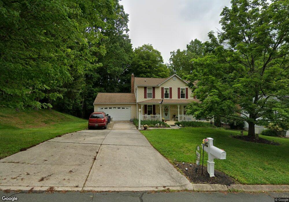
416 Amy Dr Abingdon, MD 21009
Estimated Value: $409,250 - $486,000
Studio
3
Baths
1,908
Sq Ft
$236/Sq Ft
Est. Value
About This Home
This home is located at 416 Amy Dr, Abingdon, MD 21009 and is currently estimated at $450,313, approximately $236 per square foot. 416 Amy Dr is a home located in Harford County with nearby schools including Homestead-Wakefield Elementary School, Patterson Mill Middle School, and Patterson Mill High School.
Ownership History
Date
Name
Owned For
Owner Type
Purchase Details
Closed on
Jul 3, 1984
Sold by
Ryland Group Inc The
Bought by
Wood Barry W and Wood Martha G
Current Estimated Value
Home Financials for this Owner
Home Financials are based on the most recent Mortgage that was taken out on this home.
Original Mortgage
$108,300
Interest Rate
14.5%
Purchase Details
Closed on
Apr 24, 1984
Sold by
Oriole Homes Corp Of Md
Bought by
Ryland Group Inc The
Create a Home Valuation Report for This Property
The Home Valuation Report is an in-depth analysis detailing your home's value as well as a comparison with similar homes in the area
Home Values in the Area
Average Home Value in this Area
Purchase History
| Date | Buyer | Sale Price | Title Company |
|---|---|---|---|
| Wood Barry W | $111,500 | -- | |
| Ryland Group Inc The | $20,400 | -- |
Source: Public Records
Mortgage History
| Date | Status | Borrower | Loan Amount |
|---|---|---|---|
| Closed | Wood Barry W | $108,300 |
Source: Public Records
Tax History
| Year | Tax Paid | Tax Assessment Tax Assessment Total Assessment is a certain percentage of the fair market value that is determined by local assessors to be the total taxable value of land and additions on the property. | Land | Improvement |
|---|---|---|---|---|
| 2025 | $2,875 | $349,767 | $0 | $0 |
| 2024 | $2,730 | $327,533 | $0 | $0 |
| 2023 | $2,730 | $305,300 | $100,900 | $204,400 |
| 2022 | $3,268 | $299,800 | $0 | $0 |
| 2021 | $6,535 | $294,300 | $0 | $0 |
| 2020 | $3,333 | $288,800 | $100,900 | $187,900 |
| 2019 | $3,314 | $287,133 | $0 | $0 |
| 2018 | $3,265 | $285,467 | $0 | $0 |
| 2017 | $3,245 | $283,800 | $0 | $0 |
| 2016 | -- | $279,967 | $0 | $0 |
| 2015 | $3,219 | $276,133 | $0 | $0 |
| 2014 | $3,219 | $272,300 | $0 | $0 |
Source: Public Records
Map
Nearby Homes
- 922 Sidehill Dr
- 603 E Wheel Rd
- 2513 Kenna Ct Unit 7
- 745 Dowers Rd
- 2608 Laurel Valley Garth
- 2309 Lily Ct
- 2712 Parallel Path
- 113 Laurel Valley Ct
- 211 E Wheel Rd
- 108 Laurel Valley Ct
- 708 Tranquil Ct
- 2000 Treese Unit DEVONSHIRE
- 2000 Treese Unit SAVANNAH
- 2000 Treese Unit MAGNOLIA
- 2000 Treese Unit COVINGTON
- 928 Fenario Cir
- 133 Spruce Woods Ct
- 2961 Harrogate Way
- 903 Shelburne Rd
- 200 Temple Dr
Your Personal Tour Guide
Ask me questions while you tour the home.