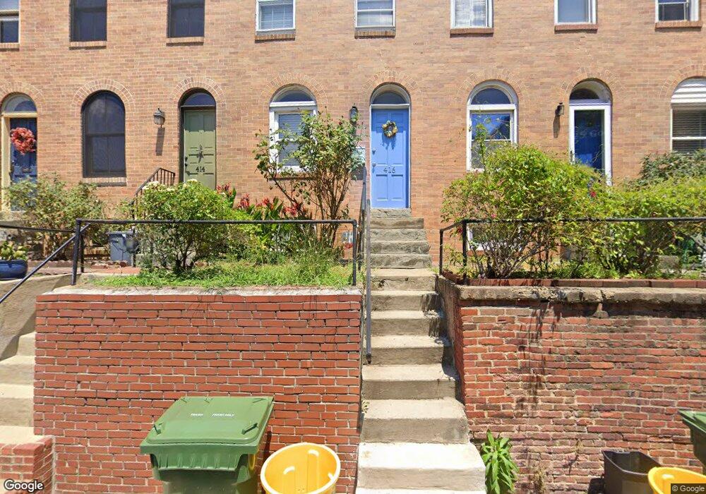
416 Grindall St Baltimore, MD 21230
Federal Hill NeighborhoodEstimated Value: $200,627 - $304,000
Studio
2
Baths
864
Sq Ft
$292/Sq Ft
Est. Value
About This Home
This home is located at 416 Grindall St, Baltimore, MD 21230 and is currently estimated at $252,314, approximately $292 per square foot. 416 Grindall St is a home located in Baltimore City with nearby schools including Federal Hill Preparatory School, Booker T. Washington Middle School, and Digital Harbor High School.
Ownership History
Date
Name
Owned For
Owner Type
Purchase Details
Closed on
Aug 27, 2010
Sold by
Longstreth Amanda F
Bought by
Krantz Ronald
Current Estimated Value
Home Financials for this Owner
Home Financials are based on the most recent Mortgage that was taken out on this home.
Original Mortgage
$120,000
Outstanding Balance
$79,681
Interest Rate
4.55%
Mortgage Type
New Conventional
Estimated Equity
$172,633
Purchase Details
Closed on
Nov 12, 1993
Sold by
Hs&R Realty Co
Bought by
Longstreth Frances I
Create a Home Valuation Report for This Property
The Home Valuation Report is an in-depth analysis detailing your home's value as well as a comparison with similar homes in the area
Home Values in the Area
Average Home Value in this Area
Purchase History
| Date | Buyer | Sale Price | Title Company |
|---|---|---|---|
| Krantz Ronald | $160,000 | -- | |
| Longstreth Frances I | $89,000 | -- |
Source: Public Records
Mortgage History
| Date | Status | Borrower | Loan Amount |
|---|---|---|---|
| Open | Krantz Ronald | $120,000 | |
| Closed | Longstreth Frances I | -- |
Source: Public Records
Tax History
| Year | Tax Paid | Tax Assessment Tax Assessment Total Assessment is a certain percentage of the fair market value that is determined by local assessors to be the total taxable value of land and additions on the property. | Land | Improvement |
|---|---|---|---|---|
| 2025 | $3,961 | $171,967 | -- | -- |
| 2024 | $3,961 | $168,633 | -- | -- |
| 2023 | $3,883 | $165,300 | $80,000 | $85,300 |
| 2022 | $3,851 | $163,167 | $0 | $0 |
| 2021 | $3,800 | $161,033 | $0 | $0 |
| 2020 | $3,750 | $158,900 | $80,000 | $78,900 |
| 2019 | $3,474 | $147,900 | $0 | $0 |
| 2018 | $3,231 | $136,900 | $0 | $0 |
| 2017 | $2,971 | $125,900 | $0 | $0 |
| 2016 | $4,382 | $125,900 | $0 | $0 |
| 2015 | $4,382 | $125,900 | $0 | $0 |
| 2014 | $4,382 | $135,600 | $0 | $0 |
Source: Public Records
Map
Nearby Homes
- 337 E Hamburg St
- 444 Grindall St
- 409 Warren Ave
- 437 Grindall St
- 413 Grindall St
- 418 E Cross St
- 213 Grindall St
- 915 Valencia Ct
- 628 Ponte Villas S
- 1134 Battery Ave
- 23 Pierside Dr Unit 118
- 23 Pierside Dr Unit 326
- 23 Pierside Dr Unit 324
- 23 Pierside Dr Unit 413
- 23 Pierside Dr Unit 104
- 23 Pierside Dr Unit 311
- 100 Harborview Dr Unit 1703
- 100 Harborview Dr Unit 513
- 100 Harborview Dr Unit 305
- 100 Harborview Dr Unit 202
- 414 Grindall St
- 418 Grindall St
- 412 Grindall St
- 420 Grindall St
- 410 Grindall St
- 422 Grindall St
- 408 Grindall St
- 406 Grindall St
- 329 E Hamburg St
- 331 E Hamburg St
- 404 Grindall St
- 404 Grindall St
- 402 Grindall St Unit B
- 402 Grindall St Unit E
- 317 E Hamburg St
- 315 E Hamburg St
- 313 E Hamburg St
- 319 E Hamburg St
- 333 E Hamburg St
- 402a Grindall St Unit B
Your Personal Tour Guide
Ask me questions while you tour the home.