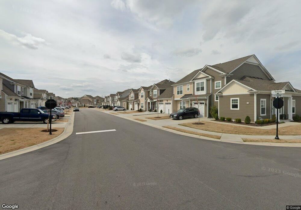
416 Kempston Landing Chesapeake, VA 23322
Pleasant Grove West NeighborhoodEstimated Value: $416,000 - $430,000
3
Beds
3
Baths
1,593
Sq Ft
$264/Sq Ft
Est. Value
About This Home
This home is located at 416 Kempston Landing, Chesapeake, VA 23322 and is currently estimated at $420,649, approximately $264 per square foot. 416 Kempston Landing is a home located in Chesapeake City with nearby schools including Hickory Elementary School, Hickory Middle School, and Hickory High School.
Ownership History
Date
Name
Owned For
Owner Type
Purchase Details
Closed on
Jan 10, 2024
Sold by
Simpson Josiah and Simpson Amanda Renea
Bought by
Beltethon Michael
Current Estimated Value
Home Financials for this Owner
Home Financials are based on the most recent Mortgage that was taken out on this home.
Original Mortgage
$262,000
Outstanding Balance
$257,644
Interest Rate
7.22%
Mortgage Type
Construction
Estimated Equity
$163,005
Purchase Details
Closed on
Jun 2, 2020
Sold by
Hickory Manor Associates Lc
Bought by
Simpson Josiah and Simpson Amanda Renea
Home Financials for this Owner
Home Financials are based on the most recent Mortgage that was taken out on this home.
Original Mortgage
$342,511
Interest Rate
3.3%
Mortgage Type
VA
Create a Home Valuation Report for This Property
The Home Valuation Report is an in-depth analysis detailing your home's value as well as a comparison with similar homes in the area
Home Values in the Area
Average Home Value in this Area
Purchase History
| Date | Buyer | Sale Price | Title Company |
|---|---|---|---|
| Beltethon Michael | $387,000 | Fidelity National Title | |
| Beltethon Michael | $387,000 | Fidelity National Title | |
| Simpson Josiah | $330,610 | Attorney |
Source: Public Records
Mortgage History
| Date | Status | Borrower | Loan Amount |
|---|---|---|---|
| Open | Beltethon Michael | $262,000 | |
| Closed | Beltethon Michael | $262,000 | |
| Previous Owner | Simpson Josiah | $342,511 |
Source: Public Records
Tax History Compared to Growth
Tax History
| Year | Tax Paid | Tax Assessment Tax Assessment Total Assessment is a certain percentage of the fair market value that is determined by local assessors to be the total taxable value of land and additions on the property. | Land | Improvement |
|---|---|---|---|---|
| 2025 | $3,967 | $401,800 | $155,000 | $246,800 |
| 2024 | $3,967 | $392,800 | $155,000 | $237,800 |
| 2023 | $3,669 | $381,700 | $155,000 | $226,700 |
| 2022 | $3,803 | $376,500 | $155,000 | $221,500 |
| 2021 | $3,215 | $306,200 | $125,000 | $181,200 |
| 2020 | $2,874 | $266,200 | $90,000 | $176,200 |
Source: Public Records
Map
Nearby Homes
- 417 Heartfield Dr
- 1900 Canning Place
- 2044 Canning Place
- 658 Middleton Way
- 637 Middleton Way
- 1922 Bexley Ln
- 340 Middleton Way
- 411 Middleton Way
- The Wells Plan at Hickory Manor - Manor Homes
- 1940 Bexley Ln
- 1922 Briton Ln
- 602 Middleton Way
- 523 Middleton Way
- 2144 Edwin Dr
- 2142 Edwin Dr
- 2150 Edwin Dr
- 2152 Edwin Dr
- Shenandoah Plan at Retreat at Edinburgh Farms
- Asheville Plan at Retreat at Edinburgh Farms
- Charleston Plan at Retreat at Edinburgh Farms
- 418 Kempston Landing
- 414 Kempston Landing
- 420 Kempston Landing
- 412 Kempston Landing
- 422 Kempston Landing
- 417 Kempston Landing
- 419 Kempston Landing
- 413 Kempston Landing
- 421 Kempston Landing
- 424 Kempston Landing
- 1925 Canning Place
- 423 Kempston Landing
- 426 Kempston Landing
- 1927 Canning Place
- 425 Kempston Landing
- 408 Kempston Landing
- 1929 Canning Place
- 428 Kempston Landing
- 427 Kempston Landing
- 1915 Canning Place