416 Little John Dr Dillsburg, PA 17019
Estimated Value: $288,889 - $371,000
3
Beds
2
Baths
1,300
Sq Ft
$252/Sq Ft
Est. Value
About This Home
This home is located at 416 Little John Dr, Dillsburg, PA 17019 and is currently estimated at $327,472, approximately $251 per square foot. 416 Little John Dr is a home located in York County with nearby schools including Northern Middle School and Northern High School.
Ownership History
Date
Name
Owned For
Owner Type
Purchase Details
Closed on
Aug 27, 2003
Sold by
Cronin Steven C and Guise Kellie A
Bought by
Bobb Kenneth B and Bobb Robin S
Current Estimated Value
Home Financials for this Owner
Home Financials are based on the most recent Mortgage that was taken out on this home.
Original Mortgage
$137,610
Outstanding Balance
$62,870
Interest Rate
6.02%
Mortgage Type
Purchase Money Mortgage
Estimated Equity
$264,602
Purchase Details
Closed on
Jan 29, 1999
Sold by
Meals Mary Ann
Bought by
Cronin Steven C and Guise Kellie A
Home Financials for this Owner
Home Financials are based on the most recent Mortgage that was taken out on this home.
Original Mortgage
$94,000
Interest Rate
6.74%
Create a Home Valuation Report for This Property
The Home Valuation Report is an in-depth analysis detailing your home's value as well as a comparison with similar homes in the area
Home Values in the Area
Average Home Value in this Area
Purchase History
| Date | Buyer | Sale Price | Title Company |
|---|---|---|---|
| Bobb Kenneth B | $139,000 | -- | |
| Cronin Steven C | $122,000 | -- |
Source: Public Records
Mortgage History
| Date | Status | Borrower | Loan Amount |
|---|---|---|---|
| Open | Bobb Kenneth B | $137,610 | |
| Previous Owner | Cronin Steven C | $94,000 |
Source: Public Records
Tax History Compared to Growth
Tax History
| Year | Tax Paid | Tax Assessment Tax Assessment Total Assessment is a certain percentage of the fair market value that is determined by local assessors to be the total taxable value of land and additions on the property. | Land | Improvement |
|---|---|---|---|---|
| 2025 | $3,717 | $131,700 | $35,700 | $96,000 |
| 2024 | $3,678 | $131,700 | $35,700 | $96,000 |
| 2023 | $3,529 | $131,700 | $35,700 | $96,000 |
| 2022 | $3,455 | $131,700 | $35,700 | $96,000 |
| 2021 | $3,233 | $131,700 | $35,700 | $96,000 |
| 2020 | $3,157 | $131,700 | $35,700 | $96,000 |
| 2019 | $3,079 | $131,700 | $35,700 | $96,000 |
| 2018 | $3,014 | $131,700 | $35,700 | $96,000 |
| 2017 | $3,014 | $131,700 | $35,700 | $96,000 |
| 2016 | $0 | $131,700 | $35,700 | $96,000 |
| 2015 | -- | $131,700 | $35,700 | $96,000 |
| 2014 | -- | $131,700 | $35,700 | $96,000 |
Source: Public Records
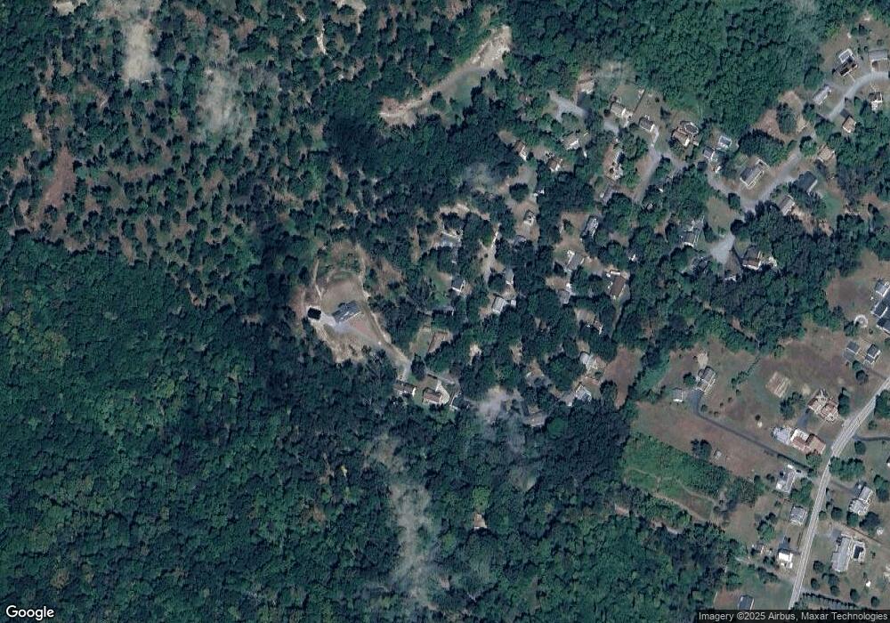
Map
Nearby Homes
- 111 Saint George Dr
- 104 Furman Rd
- 165 Chain Saw Rd
- 45 Chain Saw Rd
- 771 Range End Rd
- 0 S Mountain Rd Unit PAYK2060260
- 0 Range End Rd Unit PAYK2075290
- Lot Cold Springs Rd
- 17 Homewood St
- lot 1 Baltimore St
- 78 Walmar Manor
- 65 Walmar Manor
- 0 Harrisburg St
- 233 S Baltimore St
- 1065 Kuhn Rd
- 0 Church St Unit PAYK2054218
- 155 Coffeetown Rd
- 8 Dove Ct
- 235 Camp Ground Rd
- 51 Old York Rd
- 414 Little John Dr
- 418 Little John Dr
- 412 Little John Dr
- 415 Little John Dr
- 417 Little John Dr
- 413 Little John Dr
- 410 Little John Dr
- 411 Little John Dr
- 323 Robin Hood Rd
- 409 Little John Dr
- 314 Robin Hood Rd
- 321 Robin Hood Rd
- 319 Robin Hood Rd
- 408 Little John Dr
- 312 Robin Hood Rd
- 407 Little John Dr
- 310 Robin Hood Rd
- 406 Little John Dr
- 317 Robin Hood Rd
- Lot #1 Robin Hood Rd