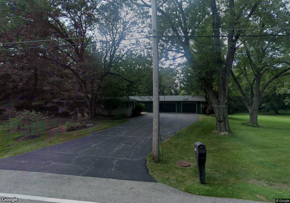
416 Maplewood Dr Barrington, IL 60010
Timberlake NeighborhoodEstimated Value: $659,548 - $809,000
--
Bed
--
Bath
2,985
Sq Ft
$246/Sq Ft
Est. Value
About This Home
This home is located at 416 Maplewood Dr, Barrington, IL 60010 and is currently estimated at $734,137, approximately $245 per square foot. 416 Maplewood Dr is a home with nearby schools including North Barrington Elementary School, Barrington Middle School Station Campus, and Barrington High School.
Ownership History
Date
Name
Owned For
Owner Type
Purchase Details
Closed on
May 30, 2023
Sold by
Ronald And Carol Trudeau Trust
Bought by
Ronald J Trudcau Revocable Trust and Carol B Trudeau Revocable Trust
Current Estimated Value
Purchase Details
Closed on
Jul 14, 2017
Sold by
Trudeau Ronald J and Trudeau Carol B
Bought by
Trudeau Ronald J and Trudeau Carol B
Create a Home Valuation Report for This Property
The Home Valuation Report is an in-depth analysis detailing your home's value as well as a comparison with similar homes in the area
Home Values in the Area
Average Home Value in this Area
Purchase History
| Date | Buyer | Sale Price | Title Company |
|---|---|---|---|
| Ronald J Trudcau Revocable Trust | -- | None Listed On Document | |
| Trudeau Ronald J | -- | Attorney |
Source: Public Records
Tax History Compared to Growth
Tax History
| Year | Tax Paid | Tax Assessment Tax Assessment Total Assessment is a certain percentage of the fair market value that is determined by local assessors to be the total taxable value of land and additions on the property. | Land | Improvement |
|---|---|---|---|---|
| 2024 | $11,840 | $206,016 | $37,835 | $168,181 |
| 2023 | $12,663 | $184,223 | $33,833 | $150,390 |
| 2022 | $12,663 | $191,525 | $38,276 | $153,249 |
| 2021 | $12,474 | $188,268 | $37,625 | $150,643 |
| 2020 | $12,176 | $187,686 | $37,509 | $150,177 |
| 2019 | $12,033 | $182,734 | $36,519 | $146,215 |
| 2018 | $9,686 | $150,400 | $34,637 | $115,763 |
| 2017 | $9,471 | $147,379 | $33,941 | $113,438 |
| 2016 | $9,254 | $141,820 | $32,661 | $109,159 |
| 2015 | $8,804 | $133,014 | $30,633 | $102,381 |
| 2014 | $8,892 | $129,071 | $35,816 | $93,255 |
| 2012 | $8,590 | $131,290 | $36,432 | $94,858 |
Source: Public Records
Map
Nearby Homes
- 115 Red Wing Ln
- 431 Maplewood Dr
- 431 E Oakwood Dr
- 96 S Wynstone Dr
- 35 Riderwood Rd
- 83 S Wynstone Dr
- 1 Kensington Dr
- 12 Riderwood Rd
- 729 Old Barn Rd Unit C
- 132 N Wynstone Dr Unit W
- 47 S Wynstone Dr
- 111 Stone Marsh Ln
- 124 Ravine Ln
- 660 Old Barn Rd Unit F-24
- 39 Deverell Dr
- 24334 N Grandview Dr
- 535 Woodview Rd
- 25171 N Virginia Ave
- 15 S Wynstone Dr
- 26220 N Hill Ave
- 412 Maplewood Dr
- 413 W Oakwood Dr
- 413 Maplewood Dr
- 415 Maplewood Dr
- 410 Maplewood Dr
- 418 Maplewood Dr
- 417 W Oakwood Dr
- 414 E Oakwood Dr
- 410 E Oakwood Dr
- 25557 Tara Dr
- 25565 W Tara Dr
- 412 E Oakwood Dr
- 25557 W Tara Dr
- 419 W Oakwood Dr
- 420 Maplewood Dr
- 25210 N Pawnee Rd
- 408 E Oakwood Dr
- 421 Maplewood Dr
- 418 E Oakwood Dr
- 25549 Tara Dr