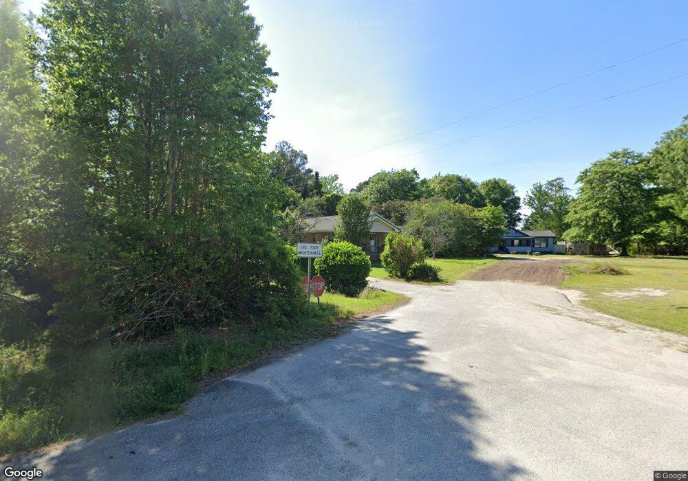
416 Moses Dr Darlington, SC 29532
Estimated Value: $99,054 - $178,000
2
Beds
1
Bath
1,154
Sq Ft
$117/Sq Ft
Est. Value
About This Home
This home is located at 416 Moses Dr, Darlington, SC 29532 and is currently estimated at $134,764, approximately $116 per square foot. 416 Moses Dr is a home located in Darlington County with nearby schools including Pate Elementary School, Brockington Elementary Magnet School, and Darlington Middle School.
Ownership History
Date
Name
Owned For
Owner Type
Purchase Details
Closed on
Jun 15, 2012
Sold by
Aiken Bonding & Enterprises Llc
Bought by
1St Palmetto Properties Llc
Current Estimated Value
Purchase Details
Closed on
Mar 1, 2012
Sold by
Paradigmreo Llc
Bought by
Aiken Bonding & Enterprises Llc
Purchase Details
Closed on
Feb 4, 2010
Sold by
Interstate Investment Group Llc
Bought by
Paradigm Reo Llc
Purchase Details
Closed on
Jun 17, 2009
Sold by
American General Financial Inc
Bought by
Interstate Investment Group Llc
Purchase Details
Closed on
Nov 10, 2008
Sold by
Harkless Gary and James Ida M
Bought by
American General Financial Services Inc
Create a Home Valuation Report for This Property
The Home Valuation Report is an in-depth analysis detailing your home's value as well as a comparison with similar homes in the area
Home Values in the Area
Average Home Value in this Area
Purchase History
| Date | Buyer | Sale Price | Title Company |
|---|---|---|---|
| 1St Palmetto Properties Llc | $28,700 | -- | |
| Aiken Bonding & Enterprises Llc | $16,667 | -- | |
| Paradigm Reo Llc | -- | -- | |
| Interstate Investment Group Llc | -- | -- | |
| American General Financial Services Inc | $500 | -- |
Source: Public Records
Tax History Compared to Growth
Tax History
| Year | Tax Paid | Tax Assessment Tax Assessment Total Assessment is a certain percentage of the fair market value that is determined by local assessors to be the total taxable value of land and additions on the property. | Land | Improvement |
|---|---|---|---|---|
| 2024 | $1,448 | $4,120 | $0 | $0 |
| 2023 | $631 | $3,790 | $0 | $0 |
| 2022 | $631 | $3,790 | $0 | $0 |
| 2021 | $631 | $3,790 | $0 | $0 |
| 2020 | $1,197 | $3,790 | $0 | $0 |
| 2019 | $1,198 | $3,790 | $0 | $0 |
| 2018 | $1,122 | $3,530 | $420 | $3,110 |
| 2017 | $1,080 | $3,530 | $420 | $3,110 |
| 2016 | $1,007 | $3,530 | $420 | $3,110 |
| 2014 | $1,043 | $3,530 | $420 | $3,110 |
| 2013 | $989 | $3,530 | $420 | $3,110 |
Source: Public Records
Map
Nearby Homes
- TBD Farm St
- TBD Chestnut St
- TBD Harry Byrd Hwy
- 4.68 Acres Old Millpond Rd & Hwy 52 Bypass
- 6 Acres S Governor Williams Hwy
- 1706 S Main St
- 121 Bacote St
- S Governor Williams Hwy
- 411 Joe Louis Blvd
- Lot 14 Wildshall Rd
- TBD First & Ave H
- 109 Reid St
- TBD 1st St
- 116 Reid St
- 406 Pine St
- 106 Lincoln Blvd
- 1840 S Main St
- 393 W Broad St
- 113 Cleveland St
- 116 Cleveland St
- 412 Moses Dr
- 322 Moses Dr
- 331 Moses Dr
- 328 Moses Dr
- 329 Moses Dr
- 320 Moses Dr
- 321 Moses Dr
- 413 Woodstream Dr
- 409 Woodstream Dr
- 313 Moses Dr
- 449 Woodstream Dr
- 1202 Sandridge Dr
- 312 Woodstream Dr
- 1209 Sandridge Dr
- 317 Woodstream Dr
- 302 Moses Dr
- 453 Woodstream Dr
- 409 Watercrest Dr
- 303 Moses Dr
- 1226 Ridgeway Dr