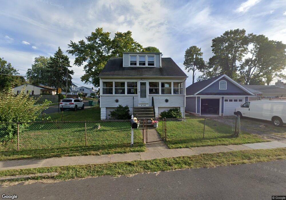
416 Neshaminy Rd Croydon, PA 19021
Estimated Value: $340,000 - $360,387
3
Beds
1
Bath
1,260
Sq Ft
$278/Sq Ft
Est. Value
About This Home
This home is located at 416 Neshaminy Rd, Croydon, PA 19021 and is currently estimated at $350,597, approximately $278 per square foot. 416 Neshaminy Rd is a home located in Bucks County with nearby schools including Truman Senior High School, School Lane Charter School, and St Charles Borromeo School.
Ownership History
Date
Name
Owned For
Owner Type
Purchase Details
Closed on
May 24, 2001
Sold by
Moser Hilda and Even Barbara I
Bought by
Dick Barbara E and Hoover Stephen M
Current Estimated Value
Home Financials for this Owner
Home Financials are based on the most recent Mortgage that was taken out on this home.
Original Mortgage
$82,900
Outstanding Balance
$37,846
Interest Rate
10.09%
Estimated Equity
$312,751
Purchase Details
Closed on
Apr 13, 1945
Bought by
Moser William R and Moser Hilda
Create a Home Valuation Report for This Property
The Home Valuation Report is an in-depth analysis detailing your home's value as well as a comparison with similar homes in the area
Home Values in the Area
Average Home Value in this Area
Purchase History
| Date | Buyer | Sale Price | Title Company |
|---|---|---|---|
| Dick Barbara E | $82,900 | -- | |
| Moser William R | -- | -- |
Source: Public Records
Mortgage History
| Date | Status | Borrower | Loan Amount |
|---|---|---|---|
| Open | Dick Barbara E | $82,900 |
Source: Public Records
Tax History Compared to Growth
Tax History
| Year | Tax Paid | Tax Assessment Tax Assessment Total Assessment is a certain percentage of the fair market value that is determined by local assessors to be the total taxable value of land and additions on the property. | Land | Improvement |
|---|---|---|---|---|
| 2025 | $3,881 | $14,290 | $3,840 | $10,450 |
| 2024 | $3,881 | $14,290 | $3,840 | $10,450 |
| 2023 | $3,852 | $14,290 | $3,840 | $10,450 |
| 2022 | $3,343 | $12,400 | $3,840 | $8,560 |
| 2021 | $3,343 | $12,400 | $3,840 | $8,560 |
| 2020 | $3,343 | $12,400 | $3,840 | $8,560 |
| 2019 | $3,330 | $12,400 | $3,840 | $8,560 |
| 2018 | $3,277 | $12,400 | $3,840 | $8,560 |
| 2017 | $3,227 | $12,400 | $3,840 | $8,560 |
| 2016 | $3,227 | $12,400 | $3,840 | $8,560 |
| 2015 | $2,229 | $12,400 | $3,840 | $8,560 |
| 2014 | $2,229 | $12,400 | $3,840 | $8,560 |
Source: Public Records
Map
Nearby Homes
- 509 Neshaminy Rd
- 906 Stephen Ave
- 0 Newportville Rd Unit PABU487252
- 434 Sycamore Ave
- L:15 Dunston Rd
- 0 Neshaminy St Unit PABU2089046
- 4744 Dunston Rd
- 910 Magnolia Ave
- 4482 E Yates Rd
- 1020 Hilary Ave
- 518 Main Ave
- 1000 Main Ave
- 3967 Gloucester Ct
- 0 Allen Ave
- 618 Cedar Ave
- 619 First Ave
- 500 Wyoming Ave
- 222 New York Ave
- 953 Farley Rd
- 200 Janet Ave
- 410 Neshaminy Rd
- 502 Neshaminy Rd
- 237 Hillcrest Ave
- 240 Hillcrest Ave
- 240 Clover Ave
- 238 Clover Ave
- 236 Hillcrest Ave
- 504 Neshaminy Rd
- 405 Neshaminy Rd
- 236 Clover Ave
- 232 Hillcrest Ave
- 227 Hillcrest Ave
- 417 Neshaminy Rd
- 228 Clover Ave
- 401 Neshaminy Rd
- 225 Hillcrest Ave
- 226 Hillcrest Ave
- 241 Walnut Ave
- 514 Neshaminy Rd
- 503 Neshaminy Rd