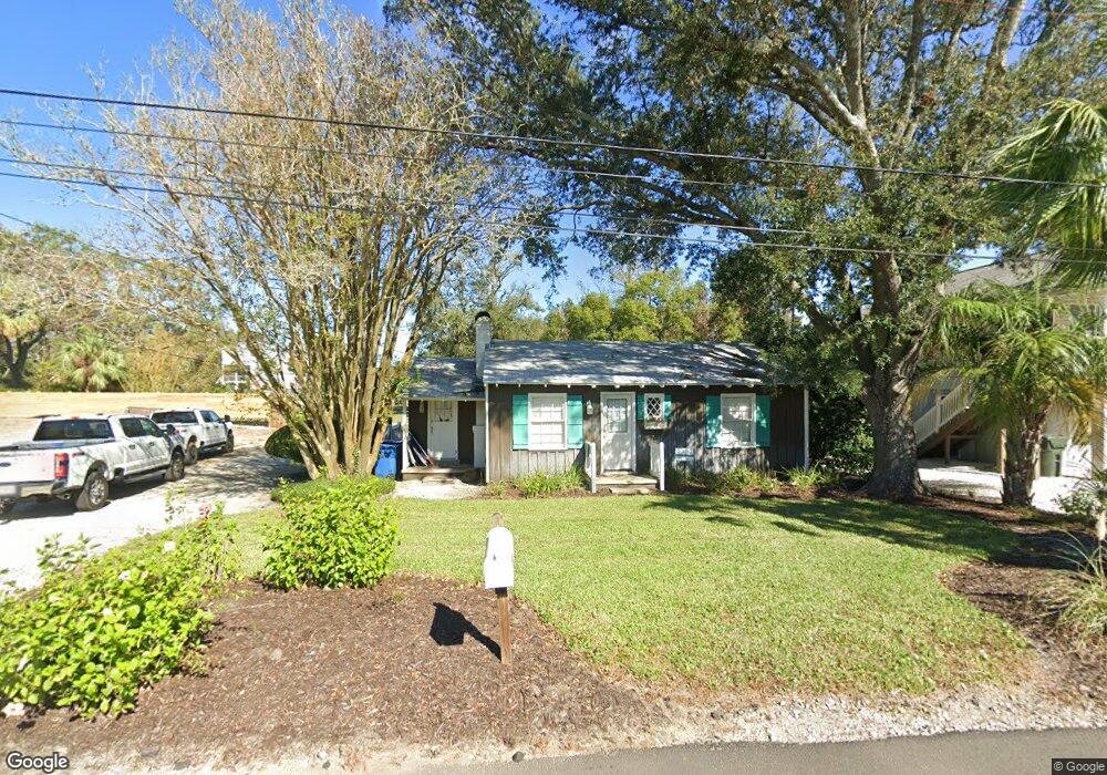
416 Union St Saint Simons Island, GA 31522
Estimated Value: $695,000 - $919,000
3
Beds
1
Bath
921
Sq Ft
$899/Sq Ft
Est. Value
About This Home
This home is located at 416 Union St, Saint Simons Island, GA 31522 and is currently estimated at $827,615, approximately $898 per square foot. 416 Union St is a home located in Glynn County with nearby schools including St. Simons Elementary School, Glynn Middle School, and Glynn Academy.
Ownership History
Date
Name
Owned For
Owner Type
Purchase Details
Closed on
Oct 22, 2021
Sold by
Lancaster Marcie Cate
Bought by
M And M Property Rentals Llc
Current Estimated Value
Purchase Details
Closed on
Dec 17, 2018
Sold by
Lancaster Melvin Wayne
Bought by
Lancaster Marcie Cate
Purchase Details
Closed on
May 15, 2017
Sold by
Harvey L
Bought by
M & M Property Rentals Llc
Purchase Details
Closed on
Mar 18, 2013
Sold by
Prosperi Michael
Bought by
Simpson Harvey L
Home Financials for this Owner
Home Financials are based on the most recent Mortgage that was taken out on this home.
Original Mortgage
$115,950
Interest Rate
3.57%
Mortgage Type
New Conventional
Purchase Details
Closed on
Jan 1, 2013
Sold by
Simpson Harvey L
Bought by
Ssi Fun Llc
Purchase Details
Closed on
Oct 2, 2012
Sold by
Locke Ronald D
Bought by
Prosperi Michael
Create a Home Valuation Report for This Property
The Home Valuation Report is an in-depth analysis detailing your home's value as well as a comparison with similar homes in the area
Home Values in the Area
Average Home Value in this Area
Purchase History
| Date | Buyer | Sale Price | Title Company |
|---|---|---|---|
| M And M Property Rentals Llc | -- | -- | |
| Lancaster Marcie Cate | -- | -- | |
| M & M Property Rentals Llc | $1,500,000 | -- | |
| Simpson Harvey L | -- | -- | |
| Simpson Harvey L | $154,600 | -- | |
| Ssi Fun Llc | -- | -- | |
| Prosperi Michael | $153,500 | -- |
Source: Public Records
Mortgage History
| Date | Status | Borrower | Loan Amount |
|---|---|---|---|
| Previous Owner | Simpson Harvey L | $115,950 |
Source: Public Records
Tax History Compared to Growth
Tax History
| Year | Tax Paid | Tax Assessment Tax Assessment Total Assessment is a certain percentage of the fair market value that is determined by local assessors to be the total taxable value of land and additions on the property. | Land | Improvement |
|---|---|---|---|---|
| 2025 | $6,282 | $250,480 | $166,400 | $84,080 |
| 2024 | $4,708 | $187,720 | $131,040 | $56,680 |
| 2023 | $4,738 | $187,720 | $131,040 | $56,680 |
| 2022 | $4,488 | $173,960 | $131,040 | $42,920 |
| 2021 | $3,235 | $120,280 | $83,200 | $37,080 |
| 2020 | $3,266 | $120,280 | $83,200 | $37,080 |
| 2019 | $3,266 | $120,280 | $83,200 | $37,080 |
| 2018 | $2,985 | $109,520 | $74,880 | $34,640 |
| 2017 | $2,985 | $109,520 | $74,880 | $34,640 |
| 2016 | $2,578 | $102,200 | $74,880 | $27,320 |
| 2015 | $1,624 | $102,200 | $74,880 | $27,320 |
| 2014 | $1,624 | $62,200 | $40,000 | $22,200 |
Source: Public Records
Map
Nearby Homes
- 1153 Ocean Blvd
- 405 Everett St
- 1145 Park Ln
- 1104 Sherman Ave
- 1308 Oak St
- 1332 Oak St Unit 9
- 1313 Beachview Dr
- 1320 Oak St
- 1055 College St
- 201 Neptune Rd Unit 255
- 201 Neptune Rd Unit 157
- 201 Neptune Rd Unit 258
- 105 Thompson Cove
- 1035 Beachview Dr Unit 19
- 1035 Beachview Dr Unit 201
- 1028 Beachview Dr Unit 5
- 1028 Beachview Dr Unit 2
- 200 Salt Air Dr Unit 152
- 200 Salt Air Dr Unit 154
- 200 Salt Air Dr Unit 139
- 416 Union St
- 412 Union St
- 408 Union St
- 420 Union St
- 413 Union St
- 411 Union St
- 417 Union St
- 1203 E Peachtree St
- 419 Arnold Rd
- 428 Union St
- 1167 Peachtree St
- 407 Union St
- 1164 Peachtree St
- 1172 E Peachtree St
- 1165 Peachtree St
- 421 Arnold Rd
- 432 Union St
- 1170 E Peachtree St
- 1170 College St
- 437 Arnold Rd