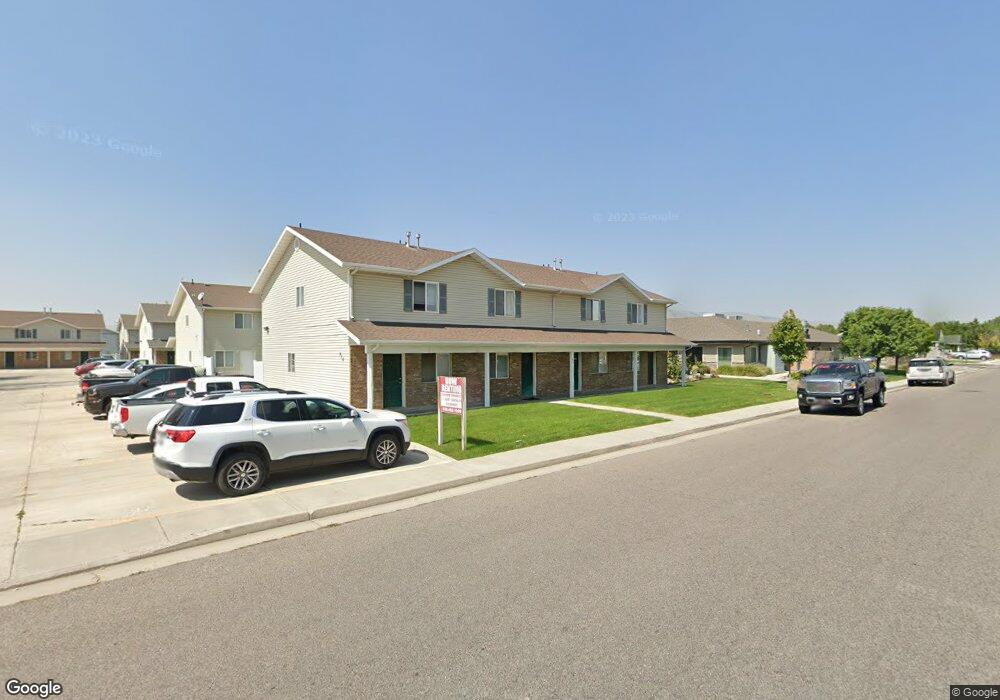
416 W 400 N Tremonton, UT 84337
Estimated Value: $623,000 - $796,000
2
Beds
8
Baths
1,100
Sq Ft
$639/Sq Ft
Est. Value
About This Home
This home is located at 416 W 400 N, Tremonton, UT 84337 and is currently estimated at $702,860, approximately $638 per square foot. 416 W 400 N is a home located in Box Elder County with nearby schools including North Park School, Alice C. Harris Intermediate School, and Bear River Middle School.
Ownership History
Date
Name
Owned For
Owner Type
Purchase Details
Closed on
Feb 4, 2021
Sold by
Andersen John K
Bought by
Andersen John K and John K Anderson Trust
Current Estimated Value
Purchase Details
Closed on
Jan 19, 2021
Sold by
Anderson John K
Bought by
Anderson John K and John K Anderson Trust
Purchase Details
Closed on
Jul 25, 2019
Sold by
Mgm Alliance Properties Llc
Bought by
Andersen John K
Purchase Details
Closed on
Nov 17, 2008
Sold by
Mili Melisa
Bought by
Mgm Alliance Properties Llc
Create a Home Valuation Report for This Property
The Home Valuation Report is an in-depth analysis detailing your home's value as well as a comparison with similar homes in the area
Home Values in the Area
Average Home Value in this Area
Purchase History
| Date | Buyer | Sale Price | Title Company |
|---|---|---|---|
| Andersen John K | -- | American Secure Ttl Tremonto | |
| Anderson John K | -- | American Secure Ttl Tremonto | |
| Andersen John K | -- | Frontier Title Ins Agcy Inc | |
| Mgm Alliance Properties Llc | -- | -- |
Source: Public Records
Tax History Compared to Growth
Tax History
| Year | Tax Paid | Tax Assessment Tax Assessment Total Assessment is a certain percentage of the fair market value that is determined by local assessors to be the total taxable value of land and additions on the property. | Land | Improvement |
|---|---|---|---|---|
| 2025 | $4,457 | $736,000 | $105,000 | $631,000 |
| 2024 | $4,457 | $756,000 | $105,000 | $651,000 |
| 2023 | $2,509 | $418,000 | $100,000 | $318,000 |
| 2022 | $2,016 | $348,000 | $30,000 | $318,000 |
| 2021 | $2,270 | $295,200 | $30,000 | $265,200 |
| 2020 | $1,952 | $295,200 | $30,000 | $265,200 |
| 2019 | $2,012 | $16,500 | $16,500 | $0 |
| 2018 | $1,688 | $126,653 | $126,653 | $0 |
| 2017 | $1,771 | $230,278 | $126,653 | $0 |
| 2016 | $1,813 | $126,653 | $9,603 | $117,050 |
| 2015 | $1,852 | $126,653 | $9,603 | $117,050 |
| 2014 | $1,852 | $126,653 | $9,603 | $117,050 |
| 2013 | -- | $126,653 | $9,603 | $117,050 |
Source: Public Records
Map
Nearby Homes
- 476 W 450 N
- 678 600 W
- 688 600 W
- 696 600 W
- 931 W 910 N
- 702 600 W
- 691 W 600 N
- 711 N 600 W
- 711 N 600 W Unit 113
- 719 N 600 W
- 719 N 600 W Unit 112
- 725 N 600 W
- 725 N 600 W Unit 111
- 733 N 600 W
- 733 N 600 W Unit 110
- 855 W 350 N
- 678 N 600 W Unit 103
- 688 N 600 W Unit 104
- 696 N 600 W Unit 105
- 702 N 600 W Unit 106