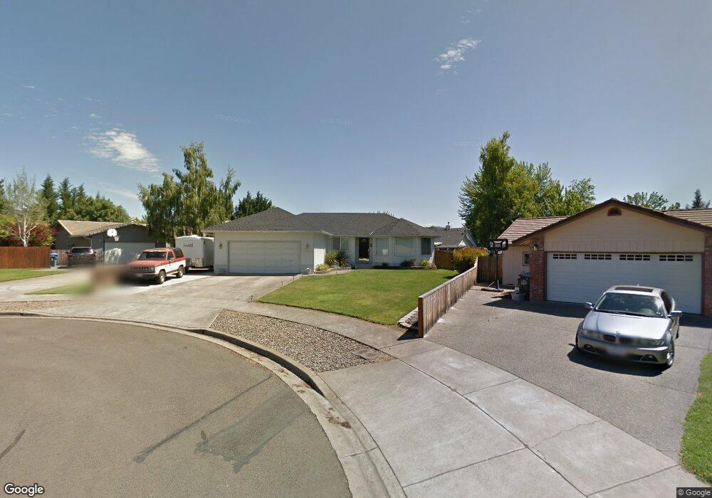
416 Westwind Cir Eagle Point, OR 97524
Estimated Value: $375,017 - $445,000
3
Beds
2
Baths
1,446
Sq Ft
$275/Sq Ft
Est. Value
About This Home
This home is located at 416 Westwind Cir, Eagle Point, OR 97524 and is currently estimated at $397,004, approximately $274 per square foot. 416 Westwind Cir is a home located in Jackson County with nearby schools including Eagle Rock Elementary School, Eagle Point Middle School, and White Mountain Middle School.
Ownership History
Date
Name
Owned For
Owner Type
Purchase Details
Closed on
Sep 3, 2003
Sold by
Brewington Jody and Brewington Teresa
Bought by
Horn Kim D and Horn Debbie M
Current Estimated Value
Home Financials for this Owner
Home Financials are based on the most recent Mortgage that was taken out on this home.
Original Mortgage
$123,920
Outstanding Balance
$53,701
Interest Rate
5.75%
Mortgage Type
Purchase Money Mortgage
Estimated Equity
$343,303
Create a Home Valuation Report for This Property
The Home Valuation Report is an in-depth analysis detailing your home's value as well as a comparison with similar homes in the area
Home Values in the Area
Average Home Value in this Area
Purchase History
| Date | Buyer | Sale Price | Title Company |
|---|---|---|---|
| Horn Kim D | $154,900 | Lawyers Title Insurance Corp |
Source: Public Records
Mortgage History
| Date | Status | Borrower | Loan Amount |
|---|---|---|---|
| Open | Horn Kim D | $123,920 | |
| Closed | Horn Kim D | $30,980 |
Source: Public Records
Tax History
| Year | Tax Paid | Tax Assessment Tax Assessment Total Assessment is a certain percentage of the fair market value that is determined by local assessors to be the total taxable value of land and additions on the property. | Land | Improvement |
|---|---|---|---|---|
| 2026 | $2,996 | $220,210 | -- | -- |
| 2025 | $2,926 | $213,800 | $49,970 | $163,830 |
| 2024 | $2,926 | $207,580 | $48,510 | $159,070 |
| 2023 | $2,826 | $201,540 | $47,100 | $154,440 |
| 2022 | $2,749 | $201,540 | $47,100 | $154,440 |
| 2021 | $2,668 | $195,670 | $45,730 | $149,940 |
| 2020 | $2,834 | $189,980 | $44,400 | $145,580 |
| 2019 | $2,791 | $179,080 | $41,850 | $137,230 |
| 2018 | $2,738 | $173,870 | $40,620 | $133,250 |
| 2017 | $2,671 | $173,870 | $40,620 | $133,250 |
| 2016 | $2,619 | $163,900 | $38,290 | $125,610 |
| 2015 | $2,533 | $163,900 | $38,290 | $125,610 |
| 2014 | $2,407 | $154,500 | $36,090 | $118,410 |
Source: Public Records
Map
Nearby Homes
- 426 Westminster Dr
- 438 Westminster Dr
- 1023 Highlands Dr
- 1017 Havenwood Dr
- 208 Northview Dr Unit 1B
- 945 Win Way
- 460 Montclair Way
- 584 Barton Rd
- 911 Stonewater Dr
- 917 Stonewater Dr
- 912 Stonewater Dr
- 633 E Archwood Dr Unit 89
- 633 E Archwood Dr Unit 86
- 633 E Archwood Dr Unit 44
- 633 E Archwood Dr Unit 12
- 633 E Archwood Dr Unit 70
- 633 E Archwood Dr Unit 53
- 633 E Archwood Dr Unit 130
- 633 E Archwood Dr Unit 125
- 633 E Archwood Dr Unit 59
- 408 W Wind Circle Dr
- 408 Westwind Cir
- 424 Westwind Cir
- 417 Garden Cir
- 409 Garden Cir
- 427 Westwind Cir
- 423 Garden Cir
- 626 W Crystal Dr
- 638 Crystal Dr
- 626 Crystal Dr
- 419 W Wind Circle Dr
- 419 Westwind Cir
- 431 Garden Cir
- 411 Westwind Cir
- 420 Westminster Dr
- 416 Westminster Dr
- 401 Westwind Cir
- 432 Westminster Dr
- 410 Garden Cir
- 60 Ashwood Ct
Your Personal Tour Guide
Ask me questions while you tour the home.