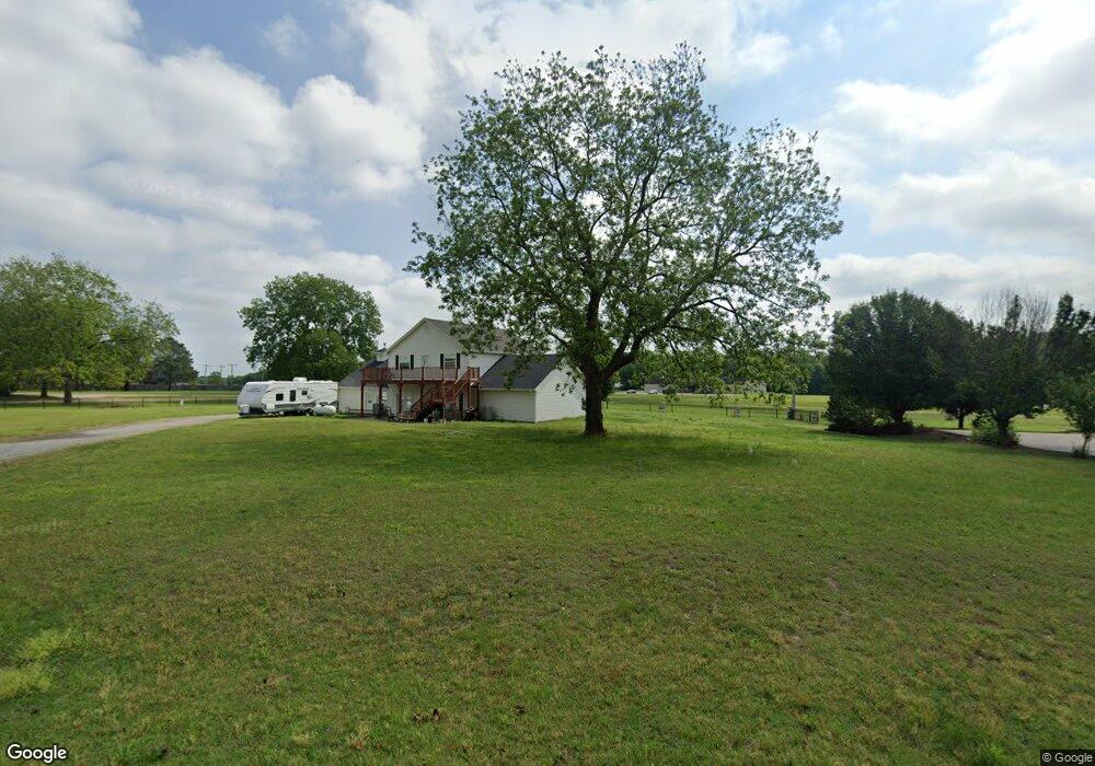
416 Woodland Cir Durant, OK 74701
Estimated Value: $369,069 - $510,000
5
Beds
3
Baths
2,550
Sq Ft
$165/Sq Ft
Est. Value
About This Home
This home is located at 416 Woodland Cir, Durant, OK 74701 and is currently estimated at $420,767, approximately $165 per square foot. 416 Woodland Cir is a home located in Bryan County with nearby schools including Northwest Heights Elementary School, Washington Irving Elementary School, and Durant Intermediate Elementary School.
Ownership History
Date
Name
Owned For
Owner Type
Purchase Details
Closed on
Jun 13, 2024
Sold by
Lee Russell Glenn
Bought by
Russell Jillian Lou and Russell Jerek Lee
Current Estimated Value
Purchase Details
Closed on
Mar 2, 2000
Sold by
Crosby Ronald J and Crosby Ann M
Bought by
Russell Glenn L
Purchase Details
Closed on
Dec 29, 1995
Sold by
Roberts Dennis L
Bought by
Crosby Ronald J and Crosby Ann M
Purchase Details
Closed on
Feb 28, 1995
Sold by
Roberts Dennis L
Bought by
Roberts C Renea
Create a Home Valuation Report for This Property
The Home Valuation Report is an in-depth analysis detailing your home's value as well as a comparison with similar homes in the area
Home Values in the Area
Average Home Value in this Area
Purchase History
| Date | Buyer | Sale Price | Title Company |
|---|---|---|---|
| Russell Jillian Lou | -- | None Listed On Document | |
| Russell Glenn L | $8,000 | -- | |
| Crosby Ronald J | $40,000 | -- | |
| Roberts C Renea | -- | -- |
Source: Public Records
Tax History Compared to Growth
Tax History
| Year | Tax Paid | Tax Assessment Tax Assessment Total Assessment is a certain percentage of the fair market value that is determined by local assessors to be the total taxable value of land and additions on the property. | Land | Improvement |
|---|---|---|---|---|
| 2024 | $2,210 | $23,693 | $2,844 | $20,849 |
| 2023 | $2,210 | $23,003 | $2,844 | $20,159 |
| 2022 | $2,066 | $23,003 | $2,844 | $20,159 |
| 2021 | $2,116 | $23,003 | $2,844 | $20,159 |
| 2020 | $2,209 | $23,003 | $2,844 | $20,159 |
| 2019 | $2,067 | $22,795 | $2,776 | $20,019 |
| 2018 | $1,951 | $21,710 | $2,703 | $19,007 |
| 2017 | $1,846 | $20,676 | $2,678 | $17,998 |
| 2016 | $1,773 | $19,691 | $508 | $19,183 |
| 2015 | $1,682 | $18,753 | $2,803 | $15,950 |
| 2014 | $1,681 | $18,753 | $2,803 | $15,950 |
Source: Public Records
Map
Nearby Homes
- 129 Highland Dr
- 5301 Stonebriar Cir
- 5353 Stonebriar Cir
- 959 Knight Dr
- 1425 Folsom Rd
- 5616 Stonecreek Dr
- 19 Skylark Ln
- 001 Knight Dr
- 1602 Felice Ln
- 409 Roadrunner Dr
- 00 Sandstone
- 5211 Roadrunner Dr
- 236 Grove Way
- 5205 Pheasant Run
- 18 Sandwedge
- 0 Sand Trap Dr
- 5456 Roadrunner Dr
- 5428 Roadrunner Dr
- 4001 N Washington Ave
- 0 N Washington Ave
- 415 Woodland Cir
- 412 Woodland Cir
- 411 Woodland Cir
- 823 State Road 48
- 105 Highland Dr
- 5302 Briarcreek Dr
- 722 Westwood St
- 61 Highland Dr
- 145 Highland Dr
- 5301 Briarcreek Dr
- 89 Highland Dr
- 42 Highland Dr
- 717 Westwood St
- 5302 Stonebriar Cir
- 96 Highland Dr
- 82 Highland Dr
- 5305 Briarcreek Dr
- 5306 Stonebriar Cir