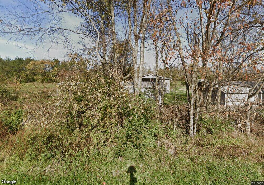
4160 Cincinnati Rd Georgetown, KY 40324
Muddy Ford Neighborhood
3
Beds
2
Baths
1,512
Sq Ft
217,800
Sq Ft Lot
About This Home
This home is located at 4160 Cincinnati Rd, Georgetown, KY 40324. 4160 Cincinnati Rd is a home located in Scott County with nearby schools including Northern Elementary School, Royal Spring Middle School, and Scott County High School.
Create a Home Valuation Report for This Property
The Home Valuation Report is an in-depth analysis detailing your home's value as well as a comparison with similar homes in the area
Home Values in the Area
Average Home Value in this Area
Tax History
| Year | Tax Paid | Tax Assessment Tax Assessment Total Assessment is a certain percentage of the fair market value that is determined by local assessors to be the total taxable value of land and additions on the property. | Land | Improvement |
|---|---|---|---|---|
| 2025 | $1,238 | $139,000 | $0 | $0 |
| 2024 | $1,250 | $139,000 | $0 | $0 |
| 2023 | $1,260 | $139,000 | $45,000 | $94,000 |
| 2022 | $1,182 | $139,000 | $45,000 | $94,000 |
| 2021 | $1,219 | $139,000 | $45,000 | $94,000 |
| 2020 | $1,117 | $130,000 | $45,000 | $85,000 |
| 2019 | $1,135 | $130,000 | $0 | $0 |
| 2018 | $243 | $65,600 | $0 | $0 |
| 2017 | $244 | $65,600 | $0 | $0 |
| 2016 | $231 | $65,600 | $0 | $0 |
| 2015 | $230 | $28,700 | $0 | $0 |
| 2014 | $226 | $29,600 | $0 | $0 |
| 2011 | $230 | $31,600 | $0 | $0 |
Source: Public Records
Map
Nearby Homes
- 126 Brooks Ln
- 163 Westwoods Dr
- 180 Westwoods Dr
- 161 Westwoods Dr
- 187 Westwoods Dr
- 157 Westwoods Dr
- 141 Westwoods Dr
- 135 Westwoods Dr
- 131 Westwoods Dr
- 129 Westwoods Dr
- 127 Westwoods Dr
- 110 Westwoods Dr
- 121 Blackberry Ln
- 119 Blackberry Ridge Ct
- 119 Blackberry Ln
- 117 Blackberry Ln
- 104 Canvasback Ct
- 115 Blackberry Ln
- 111 Blackberry Ln
- 107 Blackberry Ln
- 4158 Cincinnati Rd
- 4248 Cincinnati Rd
- 4152 Cincinnati Rd
- 4250 Cincinnati Rd
- 9237 Brooks Ln
- 115 Brooks Ln
- 118 Brooks Ln
- 7801 Brooks Ln
- 7981 Brooks Ln
- 7851 Brooks Ln
- 7775 Brooks Ln
- 7437 Brooks Ln
- 33333349 Brooks Ln
- 0 Brooks Ln
- 1643 Brooks Ln
- 1418 Brooks Ln
- 1626 Brooks Ln
- 1 Brooks Ln
- 1341 Brooks Ln
- 4286 Brooks Ln
Your Personal Tour Guide
Ask me questions while you tour the home.