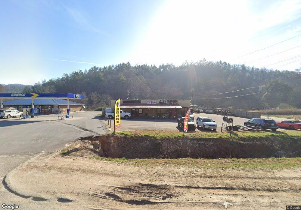
4160 Highway 441 N Rabun Gap, GA 30568
Estimated Value: $246,415
--
Bed
--
Bath
3,220
Sq Ft
$77/Sq Ft
Est. Value
About This Home
This home is located at 4160 Highway 441 N, Rabun Gap, GA 30568 and is currently estimated at $246,415, approximately $76 per square foot. 4160 Highway 441 N is a home located in Rabun County with nearby schools including Rabun County Primary School, Rabun County High School, and Rabun Gap Nacoochee School.
Ownership History
Date
Name
Owned For
Owner Type
Purchase Details
Closed on
Aug 16, 2024
Sold by
Reyes Manuel
Bought by
Georgia Dept Of Transportation
Current Estimated Value
Purchase Details
Closed on
Oct 28, 2020
Sold by
Redd Owen F
Bought by
Redd Carmen Rose
Purchase Details
Closed on
Jun 1, 2008
Sold by
Not Provided
Bought by
Redd Owen F and Redd Carmen Rose
Purchase Details
Closed on
Aug 1, 2005
Sold by
Fuller Elaine P Mclure
Bought by
Laster Frank M
Home Financials for this Owner
Home Financials are based on the most recent Mortgage that was taken out on this home.
Original Mortgage
$244,159
Interest Rate
5.48%
Mortgage Type
Commercial
Purchase Details
Closed on
Nov 1, 1997
Purchase Details
Closed on
Jul 1, 1990
Purchase Details
Closed on
Jan 1, 1990
Create a Home Valuation Report for This Property
The Home Valuation Report is an in-depth analysis detailing your home's value as well as a comparison with similar homes in the area
Home Values in the Area
Average Home Value in this Area
Purchase History
| Date | Buyer | Sale Price | Title Company |
|---|---|---|---|
| Georgia Dept Of Transportation | -- | -- | |
| Redd Carmen Rose | $163,802 | -- | |
| Redd Carmen Rose | $163,802 | -- | |
| Redd Owen F | $399,000 | -- | |
| Redd Owen F | $399,000 | -- | |
| Laster Frank M | $204,000 | -- | |
| Laster Frank M | $204,000 | -- | |
| -- | $150,000 | -- | |
| -- | $150,000 | -- | |
| -- | $102,500 | -- | |
| -- | $102,500 | -- | |
| -- | -- | -- | |
| -- | -- | -- |
Source: Public Records
Mortgage History
| Date | Status | Borrower | Loan Amount |
|---|---|---|---|
| Previous Owner | Laster Frank M | $244,159 |
Source: Public Records
Tax History Compared to Growth
Tax History
| Year | Tax Paid | Tax Assessment Tax Assessment Total Assessment is a certain percentage of the fair market value that is determined by local assessors to be the total taxable value of land and additions on the property. | Land | Improvement |
|---|---|---|---|---|
| 2025 | $2,410 | $150,157 | $105,000 | $45,157 |
| 2024 | $2,410 | $150,157 | $105,000 | $45,157 |
| 2023 | $2,474 | $135,157 | $90,000 | $45,157 |
| 2022 | $2,474 | $135,157 | $90,000 | $45,157 |
| 2021 | $2,457 | $131,042 | $90,000 | $41,042 |
| 2020 | $2,542 | $131,042 | $90,000 | $41,042 |
| 2019 | $2,560 | $131,042 | $90,000 | $41,042 |
| 2018 | $2,569 | $131,042 | $90,000 | $41,042 |
| 2017 | $2,464 | $131,042 | $90,000 | $41,042 |
| 2016 | $2,470 | $131,042 | $90,000 | $41,042 |
| 2015 | $2,534 | $131,600 | $96,000 | $35,600 |
| 2014 | $2,548 | $131,600 | $96,000 | $35,600 |
Source: Public Records
Map
Nearby Homes
- 52 Lucky Ln
- 0 John Beck Dockins Rd Unit 10606531
- 153 Coleman Heights Ln
- 548 Black Rock Mountain Pkwy
- 0 Stella Ln Unit 10485082
- 333 Favor
- 137 Olds Mountain Peak Rd
- 36 Maple Springs Ln
- 37 Erwin St
- 173 Blacks Creek Dr
- 1422 Wolffork Rd
- 0 Black Rock Estates Unit 25 10374676
- 0 Green St Unit 10565711
- 0 Uplander Unit 10628218
- 0 Uplander Unit M181832
- 55 Wallace St
- 11 Electric Ave
- 668 Mountainside Dr
- 1 Electric Ave
- 243 Degroff Ln
- 4160 Highway 411 N
- 4160 Hwy 441 N
- 3766 Hwy 441 N
- 3901 Hwy 441 N
- 3901 Hwy 441 N Unit 106
- 4047 Highway 441
- 129 Yorkhouse Rd
- 4047 Us-441 S
- 0 Sherin Dr Unit 7047065
- 0 Sherin Dr Unit 8978972
- 175 Sherin Dr
- 88 Yorkhouse Rd
- 88 Yorkhouse Rd
- 33 Sherin Dr
- 201 Wolffork Rd
- 3917 Highway 441 N
- 3901 Highway 441 N
- 3901 Highway 441 N Unit 106
- 3835 Highway 441 N
- 262 Sherin Dr