Estimated Value: $339,000 - $410,000
2
Beds
1
Bath
932
Sq Ft
$396/Sq Ft
Est. Value
About This Home
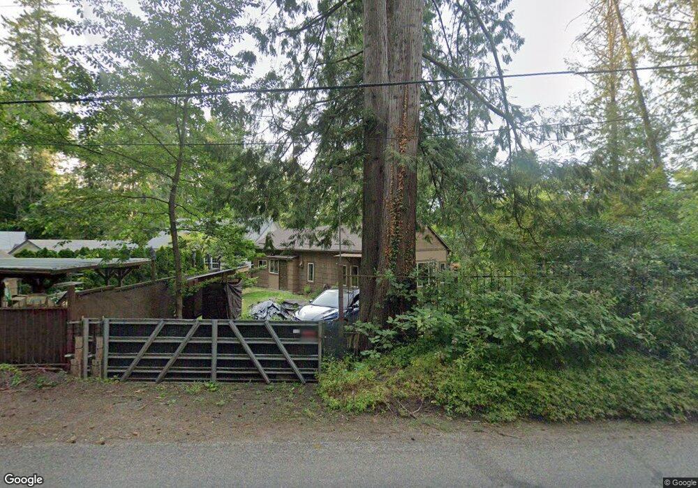
This home is located at 41605 SE Coalman Rd, Sandy, OR 97055 and is currently estimated at $368,731, approximately $395 per square foot. 41605 SE Coalman Rd is a home located in Clackamas County with nearby schools including Firwood Elementary School, Cedar Ridge Middle School, and Sandy High School.
Ownership History
Date
Name
Owned For
Owner Type
Purchase Details
Closed on
Sep 27, 2004
Sold by
Alaimo Marguerite Y and Alaimo Francis S
Bought by
Newman Patricia A
Current Estimated Value
Home Financials for this Owner
Home Financials are based on the most recent Mortgage that was taken out on this home.
Original Mortgage
$128,700
Outstanding Balance
$63,739
Interest Rate
5.77%
Mortgage Type
Purchase Money Mortgage
Estimated Equity
$304,992
Purchase Details
Closed on
Apr 16, 2004
Sold by
Alaimo Marquerite Y
Bought by
Alaimo Francis S and Alaimo Marquerite Y
Purchase Details
Closed on
Apr 26, 1996
Sold by
Decker Elaine L
Bought by
Mckechnie Grady M
Purchase Details
Closed on
Apr 23, 1996
Sold by
Gillett Patrick J
Bought by
Mckechnie Grady M
Create a Home Valuation Report for This Property
The Home Valuation Report is an in-depth analysis detailing your home's value as well as a comparison with similar homes in the area
Home Values in the Area
Average Home Value in this Area
Purchase History
| Date | Buyer | Sale Price | Title Company |
|---|---|---|---|
| Newman Patricia A | $128,700 | Transnation Title Agency Or | |
| Alaimo Francis S | -- | -- | |
| Mckechnie Grady M | $32,500 | Fidelity National Title Co | |
| Mckechnie Grady M | $27,500 | Fidelity National Title Co |
Source: Public Records
Mortgage History
| Date | Status | Borrower | Loan Amount |
|---|---|---|---|
| Open | Newman Patricia A | $128,700 |
Source: Public Records
Tax History Compared to Growth
Tax History
| Year | Tax Paid | Tax Assessment Tax Assessment Total Assessment is a certain percentage of the fair market value that is determined by local assessors to be the total taxable value of land and additions on the property. | Land | Improvement |
|---|---|---|---|---|
| 2024 | $2,320 | $168,427 | -- | -- |
| 2023 | $2,320 | $163,522 | $0 | $0 |
| 2022 | $2,204 | $158,760 | $0 | $0 |
| 2021 | $2,128 | $154,136 | $0 | $0 |
| 2020 | $2,073 | $149,647 | $0 | $0 |
| 2019 | $2,064 | $145,289 | $0 | $0 |
| 2018 | $2,009 | $141,057 | $0 | $0 |
| 2017 | $1,964 | $136,949 | $0 | $0 |
| 2016 | $1,897 | $132,960 | $0 | $0 |
| 2015 | $1,845 | $129,087 | $0 | $0 |
| 2014 | $1,779 | $125,327 | $0 | $0 |
Source: Public Records
Map
Nearby Homes
- 41057 SE Vista Loop Dr
- 41081 SE Vista Loop Dr
- The 2414 Plan at Timber Grove
- The 2260 Plan at Timber Grove
- The 2676 Plan at Timber Grove
- 17150 SE Ten Eyck Rd
- 18620 Warm Springs St
- 18701 Wood River St
- 41540 Metolius Ave Unit 19
- 41550 Metolius Ave
- 41560 Metolius Ave Unit 21
- 40510 SE Cedar Creek Rd
- 41570 Metolius Ave Unit 22
- 18186 Antler Ave
- 18865 Crooked River St Unit 42
- 18815 Crooked River St
- 41810 Deschutes Ave Unit 86B
- 40195 SE Highway 26
- 41830 Deschutes Ave Unit 85A
- 18050 SE Langensand Rd
- 41571 SE Coalman Rd
- 41606 SE Beaverdam St
- 41640 SE Beaverdam St
- 41578 SE Beaverdam St
- 41531 SE Coalman Rd
- 41664 SE Coalman Rd
- 41550 SE Beaverdam St
- 41610 SE Coalman Rd
- 41520 SE Beaverdam St
- 41525 SE Beaverdam St
- 41748 SE Coalman Rd
- 41474 SE Beaverdam St
- 41496 SE Beaverdam St
- 41417 SE Coalman Rd
- 41627 SE Beaverdam St
- 41800 SE Coalman Rd
- 41363 SE Coalman Rd
- 41370 SE Beaverdam St
- 41335 SE Coalman Rd
- 41836 SE Coalman Rd