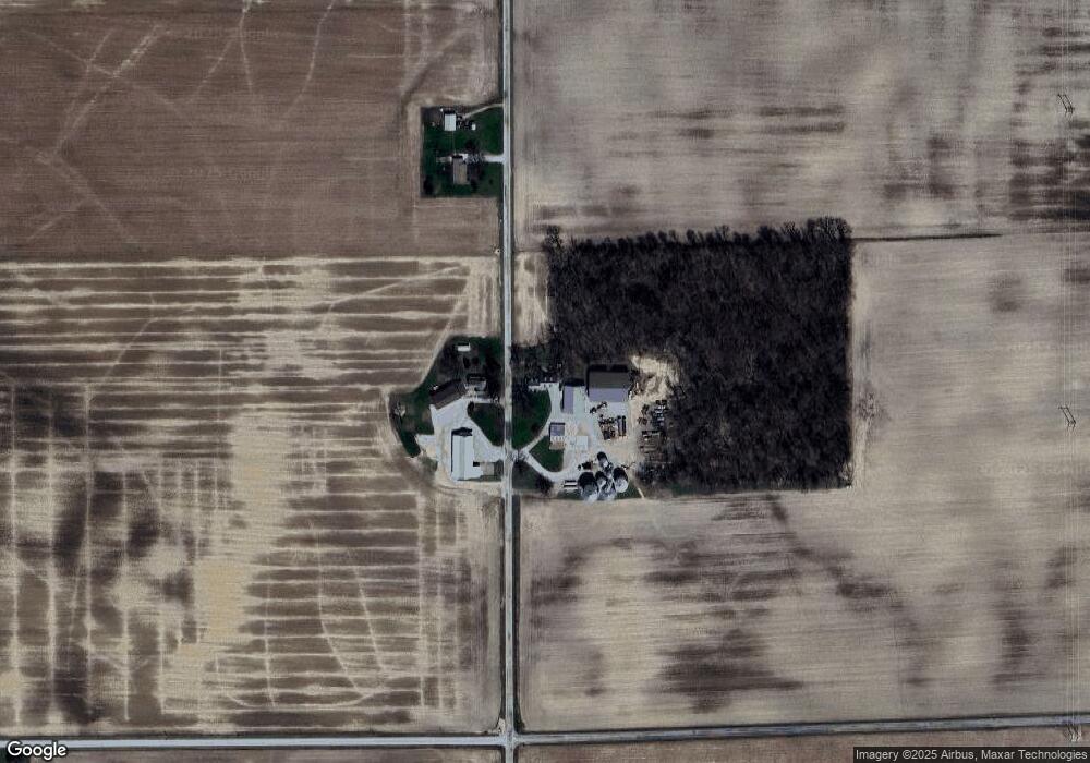
4161 N 600 W Decatur, IN 46733
Estimated Value: $311,000 - $391,642
3
Beds
2
Baths
2,226
Sq Ft
$153/Sq Ft
Est. Value
About This Home
This home is located at 4161 N 600 W, Decatur, IN 46733 and is currently estimated at $339,547, approximately $152 per square foot. 4161 N 600 W is a home located in Adams County with nearby schools including Adams Central Elementary School, Adams Central Middle School, and Adams Central High School.
Create a Home Valuation Report for This Property
The Home Valuation Report is an in-depth analysis detailing your home's value as well as a comparison with similar homes in the area
Home Values in the Area
Average Home Value in this Area
Tax History Compared to Growth
Tax History
| Year | Tax Paid | Tax Assessment Tax Assessment Total Assessment is a certain percentage of the fair market value that is determined by local assessors to be the total taxable value of land and additions on the property. | Land | Improvement |
|---|---|---|---|---|
| 2024 | $1,988 | $326,000 | $35,200 | $290,800 |
| 2023 | $2,090 | $310,000 | $35,200 | $274,800 |
| 2022 | $1,909 | $296,400 | $35,200 | $261,200 |
| 2021 | $1,810 | $268,800 | $31,000 | $237,800 |
| 2020 | $1,751 | $269,500 | $31,000 | $238,500 |
| 2019 | $1,620 | $267,200 | $31,000 | $236,200 |
| 2018 | $1,856 | $266,800 | $31,000 | $235,800 |
| 2017 | $1,841 | $260,500 | $28,200 | $232,300 |
| 2016 | $1,457 | $259,800 | $28,200 | $231,600 |
| 2014 | $1,162 | $174,200 | $28,200 | $146,000 |
| 2013 | $1,343 | $172,300 | $28,200 | $144,100 |
Source: Public Records
Map
Nearby Homes
- 6010 N 600 W
- 3585 N 400 Rd W
- 5020 N 400 W
- 2380 E U S 224 Unit 10 & 19
- 4626 E U S 224
- 3803 U S 224
- 3091 W 750 N
- 7805 N 600 E
- 4111 E 400 N
- 2593 Hogans Alley
- 2591 Hogans Alley
- 1765 Granger Ln
- 1759 Granger Ln
- 660 Malfoy Ct
- 1773 Granger Ln
- 1745 Granger Ln
- 1779 Granger Ln
- 927 Woodridge Ct
- 665 Dobby Ct
- 630 Malfoy Ct