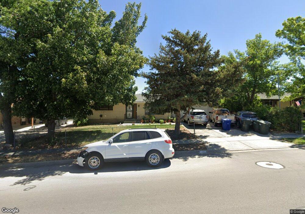
4161 S Deno Dr Salt Lake City, UT 84120
Granger NeighborhoodEstimated Value: $457,000 - $474,410
4
Beds
2
Baths
1,036
Sq Ft
$448/Sq Ft
Est. Value
About This Home
This home is located at 4161 S Deno Dr, Salt Lake City, UT 84120 and is currently estimated at $464,103, approximately $447 per square foot. 4161 S Deno Dr is a home located in Salt Lake County with nearby schools including Philo T Farnsworth Elementary School, Valley Junior High School, and Granger High School.
Ownership History
Date
Name
Owned For
Owner Type
Purchase Details
Closed on
Dec 19, 2006
Sold by
Elburg Lawrence Vander and Elburg Luanne Jean Vander
Bought by
Elburg Lawrence Vander and Elburg Luanne Vander
Current Estimated Value
Home Financials for this Owner
Home Financials are based on the most recent Mortgage that was taken out on this home.
Original Mortgage
$156,594
Interest Rate
6.12%
Mortgage Type
Stand Alone Refi Refinance Of Original Loan
Create a Home Valuation Report for This Property
The Home Valuation Report is an in-depth analysis detailing your home's value as well as a comparison with similar homes in the area
Home Values in the Area
Average Home Value in this Area
Purchase History
| Date | Buyer | Sale Price | Title Company |
|---|---|---|---|
| Elburg Lawrence Vander | -- | Advantage Title Cottonwood |
Source: Public Records
Mortgage History
| Date | Status | Borrower | Loan Amount |
|---|---|---|---|
| Closed | Elburg Lawrence Vander | $156,594 |
Source: Public Records
Tax History Compared to Growth
Tax History
| Year | Tax Paid | Tax Assessment Tax Assessment Total Assessment is a certain percentage of the fair market value that is determined by local assessors to be the total taxable value of land and additions on the property. | Land | Improvement |
|---|---|---|---|---|
| 2025 | $2,797 | $428,000 | $97,100 | $330,900 |
| 2024 | $2,797 | $428,500 | $96,500 | $332,000 |
| 2023 | $2,797 | $379,900 | $92,800 | $287,100 |
| 2022 | $2,393 | $351,900 | $91,000 | $260,900 |
| 2021 | $2,131 | $281,700 | $70,000 | $211,700 |
| 2020 | $1,975 | $246,400 | $70,000 | $176,400 |
| 2019 | $1,992 | $239,700 | $66,000 | $173,700 |
| 2018 | $1,905 | $220,900 | $66,000 | $154,900 |
| 2017 | $1,720 | $202,900 | $66,000 | $136,900 |
| 2016 | $1,607 | $189,900 | $66,000 | $123,900 |
| 2015 | $1,560 | $175,500 | $81,600 | $93,900 |
| 2014 | $1,495 | $164,800 | $77,400 | $87,400 |
Source: Public Records
Map
Nearby Homes
- 4171 S 4205 W
- 4208 S 4205 W
- 4123 W 3980 S
- 4332 Losee Dr
- 4308 W Volta Ave
- 4380 S Perigrine Way
- 4031 S 4000 W
- 5548 W 4100 S
- 4532 W 4065 S
- 3873 W Bluebird Cir
- 4431 W 3900 S
- 4209 W 3860 S
- 3843 W 4100 S
- 4308 S 4580 W
- 4358 W 3870 S
- 4216 W 4495 S
- 4332 S 4665 W
- 3818 W Edgewater Cir
- 3886 Atlas Way
- 4125 Benview Dr