4162 Parkside Dr Kodiak, AK 99615
Estimated Value: $542,000 - $567,000
--
Bed
--
Bath
2,592
Sq Ft
$215/Sq Ft
Est. Value
About This Home
This home is located at 4162 Parkside Dr, Kodiak, AK 99615 and is currently estimated at $558,101, approximately $215 per square foot. 4162 Parkside Dr is a home located in Kodiak Island Borough with nearby schools including Kodiak Christian School and St. Mary's School.
Ownership History
Date
Name
Owned For
Owner Type
Purchase Details
Closed on
May 24, 2013
Sold by
Schick Randall C and Christenson Solveig
Bought by
Bell Charles and Bell Michelle
Current Estimated Value
Home Financials for this Owner
Home Financials are based on the most recent Mortgage that was taken out on this home.
Original Mortgage
$390,521
Outstanding Balance
$275,480
Interest Rate
3.38%
Mortgage Type
Commercial
Estimated Equity
$282,621
Purchase Details
Closed on
Jun 13, 2005
Sold by
Ellsworth Bryan E and Ellsworth Heather J
Bought by
Schick Randall C and Christenson Solveig
Home Financials for this Owner
Home Financials are based on the most recent Mortgage that was taken out on this home.
Original Mortgage
$220,000
Interest Rate
5.72%
Mortgage Type
Commercial
Create a Home Valuation Report for This Property
The Home Valuation Report is an in-depth analysis detailing your home's value as well as a comparison with similar homes in the area
Home Values in the Area
Average Home Value in this Area
Purchase History
| Date | Buyer | Sale Price | Title Company |
|---|---|---|---|
| Bell Charles | -- | Sta | |
| Schick Randall C | -- | First American Title Ins Co |
Source: Public Records
Mortgage History
| Date | Status | Borrower | Loan Amount |
|---|---|---|---|
| Open | Bell Charles | $390,521 | |
| Previous Owner | Schick Randall C | $220,000 |
Source: Public Records
Tax History Compared to Growth
Tax History
| Year | Tax Paid | Tax Assessment Tax Assessment Total Assessment is a certain percentage of the fair market value that is determined by local assessors to be the total taxable value of land and additions on the property. | Land | Improvement |
|---|---|---|---|---|
| 2025 | $6,195 | $543,500 | $89,600 | $453,900 |
| 2024 | $6,195 | $505,700 | $74,700 | $431,000 |
| 2023 | $5,806 | $438,200 | $62,200 | $376,000 |
| 2022 | $5,643 | $410,400 | $62,200 | $348,200 |
| 2021 | $5,643 | $410,400 | $62,200 | $348,200 |
| 2020 | $5,456 | $396,800 | $62,200 | $334,600 |
| 2019 | $4,861 | $396,800 | $62,200 | $334,600 |
| 2018 | $4,861 | $396,800 | $62,200 | $334,600 |
| 2017 | $4,198 | $342,700 | $62,200 | $280,500 |
| 2016 | -- | $342,200 | $62,200 | $280,000 |
| 2015 | -- | $338,200 | $62,200 | $276,000 |
| 2014 | -- | $338,200 | $62,200 | $276,000 |
| 2013 | -- | $338,200 | $62,200 | $276,000 |
Source: Public Records
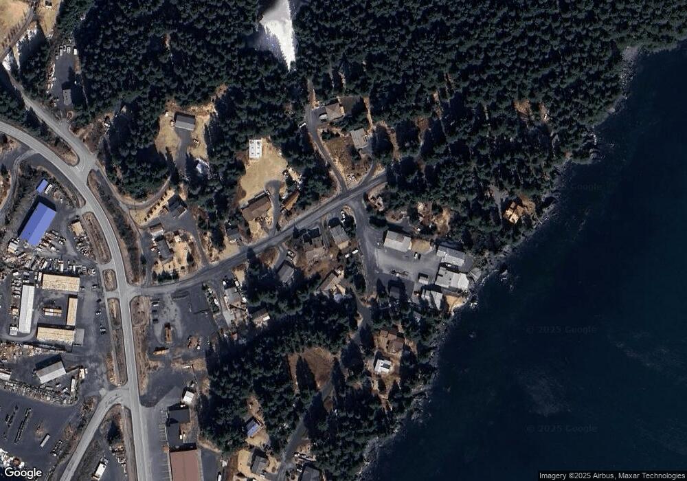
Map
Nearby Homes
- 4142 Ocean Dr
- 285 Lilly Dr
- 504 Lilly Dr
- 301 Teal Way
- 3043 Lakeview Dr
- 3043 Lake View Dr
- 3601 Sharatin Rd
- 3431 Sitkinak Dr
- 1679 Three Sisters Way
- 110 Bancroft Dr
- 2156 Monashka Way
- 2129 Harbor Way
- 1716 Selief Ln
- 1815 Chichenof St
- 1614 Selief Ln
- 1720 E Rezanof Dr
- 1310 Madsen Ave
- 1216 Purtov St
- 1411 Mission Rd
- 1314 Mission Rd
- 4152 Parkside Dr
- 4320 Cliffside Rd
- 4293 Cliffside Rd
- 4292 Cliffside Rd
- 4235 Parkside Dr
- 4122 Parkside Dr
- 4312 Cliffside Rd
- 4296 Cliffside Rd
- 4346 Cliffside Rd
- 4304 Cliffside Rd
- 4288 Cliffside Rd
- 4143 Parkside Dr
- 4092 Parkside Dr
- 4260 Cliffside Rd
- 4201 Parkside Dr
- 4093 Parkside Dr
- 4050 Parkside Dr
- 4254 Cliffside Rd
- 4247 Cliffside Rd
- 4228 Parkside Dr