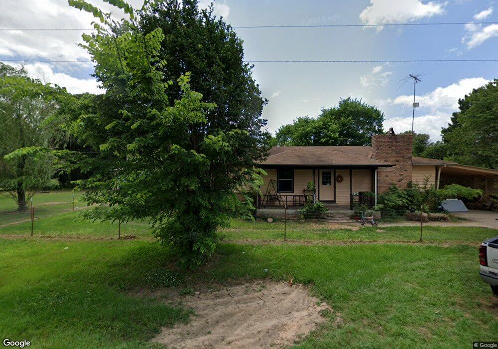
416208 E 1950 Rd Antlers, OK 74523
Estimated Value: $162,297 - $259,000
3
Beds
2
Baths
1,597
Sq Ft
$139/Sq Ft
Est. Value
About This Home
This home is located at 416208 E 1950 Rd, Antlers, OK 74523 and is currently estimated at $221,324, approximately $138 per square foot. 416208 E 1950 Rd is a home with nearby schools including Brantly Elementary School, Obuch Middle School, and Antlers High School.
Ownership History
Date
Name
Owned For
Owner Type
Purchase Details
Closed on
Oct 20, 2017
Sold by
Ray Tolbird Melvin
Bought by
Steenburgh Michael
Current Estimated Value
Purchase Details
Closed on
Aug 5, 2016
Sold by
Elverta Mccary
Bought by
Steenburgh Michael
Purchase Details
Closed on
Dec 13, 2002
Sold by
Campbell Johnny
Bought by
Mccary Elverta
Purchase Details
Closed on
Jul 6, 2000
Sold by
Steel Willie Joe
Bought by
Campbell Johnny
Purchase Details
Closed on
Jun 22, 2000
Sold by
Jones Jamie D
Bought by
Steel Willie Joe
Create a Home Valuation Report for This Property
The Home Valuation Report is an in-depth analysis detailing your home's value as well as a comparison with similar homes in the area
Home Values in the Area
Average Home Value in this Area
Purchase History
| Date | Buyer | Sale Price | Title Company |
|---|---|---|---|
| Steenburgh Michael | $75,000 | -- | |
| Steenburgh Michael | $67,500 | -- | |
| Mccary Elverta | $24,500 | -- | |
| Campbell Johnny | $15,000 | -- | |
| Steel Willie Joe | $1,000 | -- |
Source: Public Records
Tax History Compared to Growth
Tax History
| Year | Tax Paid | Tax Assessment Tax Assessment Total Assessment is a certain percentage of the fair market value that is determined by local assessors to be the total taxable value of land and additions on the property. | Land | Improvement |
|---|---|---|---|---|
| 2025 | $597 | $9,123 | $1,375 | $7,748 |
| 2024 | $597 | $9,124 | $1,375 | $7,749 |
| 2023 | $559 | $8,600 | $1,375 | $7,225 |
| 2022 | $540 | $8,350 | $1,375 | $6,975 |
| 2021 | $540 | $8,350 | $1,375 | $6,975 |
| 2020 | $540 | $8,350 | $1,375 | $6,975 |
| 2019 | $533 | $8,250 | $1,375 | $6,875 |
| 2018 | $533 | $8,250 | $1,375 | $6,875 |
| 2017 | $472 | $7,426 | $1,128 | $6,298 |
| 2016 | $368 | $5,012 | $635 | $4,377 |
| 2015 | $351 | $4,774 | $643 | $4,131 |
| 2014 | $334 | $4,546 | $275 | $4,271 |
Source: Public Records
Map
Nearby Homes
- 416381 E 1935 Rd
- lot 13 Suncrest N 4165 Rd
- 1942 E 1970 Rd
- 415229 N Hall Rd
- 7 N Hall Rd
- 0000 E1930 Rd
- 0 Milam Rd
- 708 SE 7th Place
- 906 Powell Dr
- 1000 SE 3rd St
- 903 SW Andrew Arnote Dr
- 207 SE K St
- 217 NW E St
- 0 Lake Unit 2518317
- Deer Cut Road
- 15 Antlers Rd
- 157 N 4160
- 709 NE 2nd St
- 0000 2nd St
- Lot 6-9 2nd St
- 416222 E 1951 Rd
- 416202 E 1951 Rd
- 416284 E 1950 Rd
- 416181 E 1951 Rd
- 416223 E 1951 Rd
- 416207 E 1951 Rd
- 416151 E 1951 Rd
- 416079 E 1949 Rd
- 416168 E 1951 Rd
- 416148 E 1951 Rd
- 416054 E 1950 Rd
- 194944 Us Highway 271
- 416079 E 1951 Rd
- 195022 U S 271
- 416019 E 1949 Rd
- 416019 E 1949 Rd
- 2130 E 1980 Rd
- 271 SE 11th St
- 194734 Us Hwy 271
- 415660 E 1950 Rd