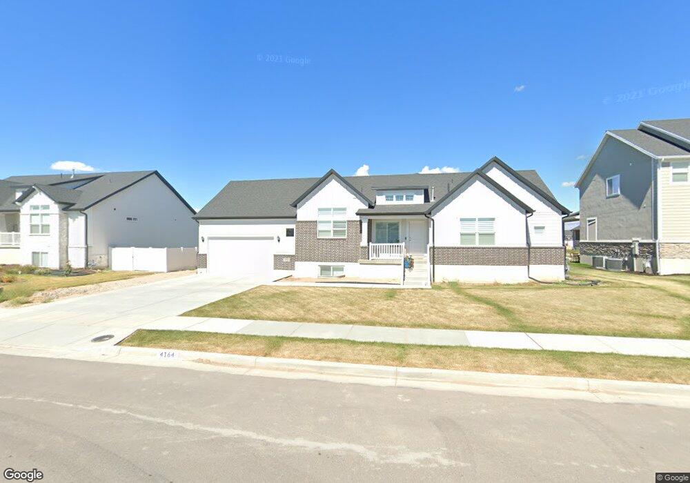
4164 W 625 S Unit 205 West Point, UT 84015
Estimated Value: $630,000 - $741,000
5
Beds
4
Baths
4,004
Sq Ft
$168/Sq Ft
Est. Value
About This Home
This home is located at 4164 W 625 S Unit 205, West Point, UT 84015 and is currently estimated at $673,201, approximately $168 per square foot. 4164 W 625 S Unit 205 is a home located in Davis County with nearby schools including West Point School, West Point Junior High School, and Syracuse High School.
Ownership History
Date
Name
Owned For
Owner Type
Purchase Details
Closed on
Mar 23, 2021
Sold by
Handrahan Cameron J and Dalla Emily R
Bought by
Handrahan Cameron V and Dalla Emily
Current Estimated Value
Home Financials for this Owner
Home Financials are based on the most recent Mortgage that was taken out on this home.
Original Mortgage
$440,598
Outstanding Balance
$396,756
Interest Rate
2.7%
Mortgage Type
New Conventional
Estimated Equity
$276,445
Purchase Details
Closed on
Aug 24, 2020
Sold by
Nilson And Company Inc
Bought by
Handrahan Cameron J and Dallas Emily R
Home Financials for this Owner
Home Financials are based on the most recent Mortgage that was taken out on this home.
Original Mortgage
$336,920
Interest Rate
3%
Mortgage Type
Construction
Create a Home Valuation Report for This Property
The Home Valuation Report is an in-depth analysis detailing your home's value as well as a comparison with similar homes in the area
Home Values in the Area
Average Home Value in this Area
Purchase History
| Date | Buyer | Sale Price | Title Company |
|---|---|---|---|
| Handrahan Cameron V | -- | Stewart Title Ins Age | |
| Handrahan Cameron J | -- | Stewart Title Ins Age | |
| Nilson And Company Inc | -- | Stewart Title Ins |
Source: Public Records
Mortgage History
| Date | Status | Borrower | Loan Amount |
|---|---|---|---|
| Open | Handrahan Cameron | $100,000 | |
| Open | Handrahan Cameron V | $440,598 | |
| Closed | Handrahan Cameron J | $336,920 |
Source: Public Records
Tax History Compared to Growth
Tax History
| Year | Tax Paid | Tax Assessment Tax Assessment Total Assessment is a certain percentage of the fair market value that is determined by local assessors to be the total taxable value of land and additions on the property. | Land | Improvement |
|---|---|---|---|---|
| 2025 | $3,980 | $366,300 | $112,260 | $254,040 |
| 2024 | $3,767 | $348,150 | $101,070 | $247,080 |
| 2023 | $3,507 | $596,000 | $125,773 | $470,227 |
| 2022 | $3,688 | $343,200 | $65,364 | $277,836 |
| 2021 | $1,383 | $192,356 | $102,356 | $90,000 |
| 2020 | $1,141 | $85,947 | $85,947 | $0 |
Source: Public Records
Map
Nearby Homes
- 835 S Criddle Rd
- 364 S 4300 W Unit 610
- 356 S 4300 W Unit 611
- 696 S 4500 W
- 4443 W 920 S Unit 110
- 1039 S 4250 W
- 1084 S 4090 W
- 964 S 4475 W Unit 123
- 3661 W 800 S
- Bradford Plan at Harvest Fields
- Avery Plan at Harvest Fields
- Sullivan Plan at Harvest Fields
- Presley Plan at Harvest Fields
- Ashmore Plan at Harvest Fields
- Bridgeport Plan at Harvest Fields
- Malan Plan at Harvest Fields
- Havenwood Plan at Harvest Fields
- Hamilton Plan at Harvest Fields
- Havenwood with Loft Plan at Harvest Fields
- 3649 W 800 S
- 4186 W 625 S
- 4142 W 625 S
- 4161 W 550 S Unit 7
- 4183 W 550 S Unit 8
- 4183 W 550 S
- 4145 W 550 S
- 4167 W 625 S
- 4120 W 625 S
- 4206 W 625 S Unit 203
- 4147 W 625 S Unit 219
- 4189 W 625 S
- 4201 W 550 S
- 4125 W 625 S
- 4209 W 625 S Unit 221
- 4209 W 625 S Unit 222
- 4209 W 625 S
- 4127 W 550 S
- 4222 W 625 S Unit 202
- 4098 W 625 S Unit 208
- 4164 W 550 S