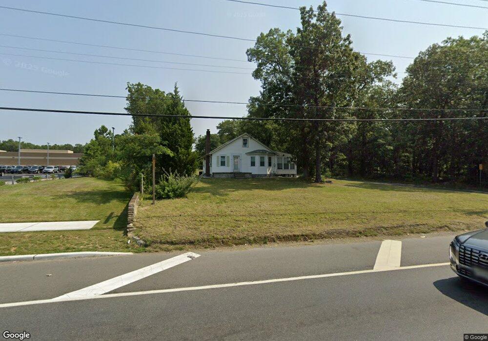
4165 Black Horse Pike Mays Landing, NJ 08330
Estimated Value: $209,000 - $289,000
2
Beds
1
Bath
1,050
Sq Ft
$241/Sq Ft
Est. Value
About This Home
This home is located at 4165 Black Horse Pike, Mays Landing, NJ 08330 and is currently estimated at $252,926, approximately $240 per square foot. 4165 Black Horse Pike is a home located in Atlantic County with nearby schools including George L. Hess Educational Complex, Joseph Shaner School, and William Davies Middle School.
Ownership History
Date
Name
Owned For
Owner Type
Purchase Details
Closed on
Feb 5, 2020
Sold by
Leuci Anthony J
Bought by
Nguyen Hong A
Current Estimated Value
Purchase Details
Closed on
Mar 16, 2010
Sold by
Leuci Anthony J
Bought by
Leuci Anthony J
Purchase Details
Closed on
Aug 21, 2007
Sold by
Leuci Sebastian and Leuci Antoinette
Bought by
Leuci Sebastian and Leuci Antoinette
Create a Home Valuation Report for This Property
The Home Valuation Report is an in-depth analysis detailing your home's value as well as a comparison with similar homes in the area
Home Values in the Area
Average Home Value in this Area
Purchase History
| Date | Buyer | Sale Price | Title Company |
|---|---|---|---|
| Nguyen Hong A | $145,000 | None Available | |
| Leuci Anthony J | -- | None Available | |
| Leuci Sebastian | -- | None Available |
Source: Public Records
Tax History Compared to Growth
Tax History
| Year | Tax Paid | Tax Assessment Tax Assessment Total Assessment is a certain percentage of the fair market value that is determined by local assessors to be the total taxable value of land and additions on the property. | Land | Improvement |
|---|---|---|---|---|
| 2025 | $4,014 | $117,000 | $44,500 | $72,500 |
| 2024 | $4,014 | $117,000 | $44,500 | $72,500 |
| 2023 | $3,774 | $117,000 | $44,500 | $72,500 |
| 2022 | $3,774 | $117,000 | $44,500 | $72,500 |
| 2021 | $3,766 | $117,000 | $44,500 | $72,500 |
| 2020 | $3,766 | $117,000 | $44,500 | $72,500 |
| 2019 | $3,776 | $117,000 | $44,500 | $72,500 |
| 2018 | $3,643 | $117,000 | $44,500 | $72,500 |
| 2017 | $3,586 | $117,000 | $44,500 | $72,500 |
| 2016 | $3,485 | $117,000 | $44,500 | $72,500 |
| 2015 | $3,367 | $117,000 | $44,500 | $72,500 |
| 2014 | $3,378 | $128,600 | $50,000 | $78,600 |
Source: Public Records
Map
Nearby Homes
- 4127 Black Horse Pike
- 7 Golf Dr
- 20 Monet Dr
- 66 Monet Dr
- 124 Amherst Dr
- 94 Baltusrol Dr
- 78 Oakmont Dr
- 16 Rue Chagall
- 26 Baltusrol Dr
- 8 Rembrandt Way
- 7 Renaissance Dr
- 182 Pebble Beach Dr
- 197 Pebble Beach Dr
- 277 Greenbriar Ct
- 712 Scarborough Dr
- 172 Turnberry Ct
- 218 Burning Tree Ct
- 156 Muirfield Ct
- 154 Muirfield Ct
- 165 Turnberry Ct
- 4165 E Black Horse Pike
- 2083 Delilah Rd
- 4173 Black Horse Pike
- 1976 Mckee Ave
- 2025 Lowell Ave
- 0 Mays Landing Rd
- 1967 Mckee Ave
- 0 Lowell Ave
- 4120 Black Horse Pike
- 1956 Mckee Ave
- 1942 Mckee Ave
- 2045 Lowell Ave
- 4215 Black Horse Pike
- 4201 Fairway Dr
- 2053 Lowell Ave
- 1930 Mckee Ave
- 4203 Fairway Dr
- 4205 Fairway Dr
- 4207 Fairway Dr
- 2052 Mckee Ave