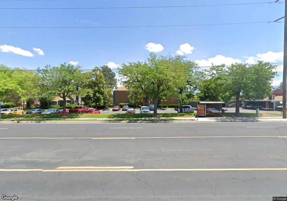
4165 S 2700 W Unit 3C Taylorsville, UT 84129
Estimated Value: $237,000 - $270,000
3
Beds
2
Baths
1,268
Sq Ft
$203/Sq Ft
Est. Value
About This Home
This home is located at 4165 S 2700 W Unit 3C, Taylorsville, UT 84129 and is currently estimated at $257,555, approximately $203 per square foot. 4165 S 2700 W Unit 3C is a home located in Salt Lake County with nearby schools including Taylorsville Elementary School, Eisenhower Jr High School, and Taylorsville High School.
Ownership History
Date
Name
Owned For
Owner Type
Purchase Details
Closed on
Sep 27, 2019
Sold by
Macdonald Scott Daniel and Macdonald Scott D
Bought by
Wilde Andrew
Current Estimated Value
Home Financials for this Owner
Home Financials are based on the most recent Mortgage that was taken out on this home.
Original Mortgage
$123,025
Outstanding Balance
$107,996
Interest Rate
3.6%
Mortgage Type
New Conventional
Estimated Equity
$149,559
Purchase Details
Closed on
Mar 26, 2018
Sold by
Macdonald Shellece
Bought by
Macdonald Scott D
Home Financials for this Owner
Home Financials are based on the most recent Mortgage that was taken out on this home.
Original Mortgage
$50,000
Interest Rate
4.46%
Mortgage Type
New Conventional
Purchase Details
Closed on
Dec 10, 2007
Sold by
Keirnes Shellece and Macdonald Shellece
Bought by
Macdonald Scott Daniel and Macdonald Shellece
Purchase Details
Closed on
Jun 2, 2003
Sold by
Washington Mutual Bank Fa
Bought by
Keirnes Shellece
Home Financials for this Owner
Home Financials are based on the most recent Mortgage that was taken out on this home.
Original Mortgage
$50,925
Interest Rate
5.37%
Mortgage Type
FHA
Purchase Details
Closed on
Jan 3, 2003
Sold by
Dalley Cheryl B and Washington Mutual Bank Fsb
Bought by
Washington Mutual Bank Fa
Purchase Details
Closed on
Aug 19, 1999
Sold by
Jmc Inc
Bought by
Dalley Cheryl B
Home Financials for this Owner
Home Financials are based on the most recent Mortgage that was taken out on this home.
Original Mortgage
$62,000
Interest Rate
3.35%
Purchase Details
Closed on
Aug 12, 1997
Sold by
Dalley Cheryl B
Bought by
Jmc Inc
Purchase Details
Closed on
Dec 5, 1994
Sold by
Poulton Robert J and Poulton Margaret E
Bought by
Mauchley Cheston D and Mauchley Melissa L
Home Financials for this Owner
Home Financials are based on the most recent Mortgage that was taken out on this home.
Original Mortgage
$50,750
Interest Rate
8.9%
Mortgage Type
FHA
Create a Home Valuation Report for This Property
The Home Valuation Report is an in-depth analysis detailing your home's value as well as a comparison with similar homes in the area
Home Values in the Area
Average Home Value in this Area
Purchase History
| Date | Buyer | Sale Price | Title Company |
|---|---|---|---|
| Wilde Andrew | -- | Old Republic Title | |
| Macdonald Scott D | -- | Vanguard Title | |
| Macdonald Scott Daniel | -- | Title One | |
| Keirnes Shellece | -- | First Southwestern Title | |
| Washington Mutual Bank Fa | $63,853 | -- | |
| Dalley Cheryl B | -- | Security Title Ins Agency | |
| Jmc Inc | -- | -- | |
| Mauchley Cheston D | -- | Backman Stewart Title Servic |
Source: Public Records
Mortgage History
| Date | Status | Borrower | Loan Amount |
|---|---|---|---|
| Open | Wilde Andrew | $123,025 | |
| Previous Owner | Macdonald Scott D | $50,000 | |
| Previous Owner | Keirnes Shellece | $50,925 | |
| Previous Owner | Dalley Cheryl B | $62,000 | |
| Previous Owner | Mauchley Cheston D | $50,750 |
Source: Public Records
Tax History Compared to Growth
Tax History
| Year | Tax Paid | Tax Assessment Tax Assessment Total Assessment is a certain percentage of the fair market value that is determined by local assessors to be the total taxable value of land and additions on the property. | Land | Improvement |
|---|---|---|---|---|
| 2025 | $1,289 | $220,700 | $66,200 | $154,500 |
| 2024 | $1,289 | $211,400 | $63,400 | $148,000 |
| 2023 | $1,289 | $217,600 | $65,300 | $152,300 |
| 2022 | $1,359 | $220,500 | $66,100 | $154,400 |
| 2021 | $1,118 | $158,000 | $47,400 | $110,600 |
| 2020 | $1,057 | $141,400 | $42,400 | $99,000 |
| 2019 | $1,019 | $133,100 | $39,900 | $93,200 |
| 2018 | $943 | $118,700 | $35,600 | $83,100 |
| 2017 | $827 | $109,400 | $32,800 | $76,600 |
| 2016 | $782 | $103,400 | $31,000 | $72,400 |
| 2015 | $797 | $98,500 | $29,500 | $69,000 |
| 2014 | $803 | $97,500 | $29,200 | $68,300 |
Source: Public Records
Map
Nearby Homes
- 4153 S 2700 W Unit 1G
- 4165 S 2700 W Unit 2D
- 2646 W Greyhackle Ln
- 2507 W Dutch Draw Dr
- 2451 Hard Rock Cir S
- 4222 S 2835 W
- 4244 S 2835 W
- 4318 S King Arthur Dr
- 2326 W Mackay Ln Unit 1948
- 2216 Bird Song Rd S
- 2985 Bedford Rd
- 2754 W 3835 S
- 2595 W 3800 S
- 4483 S Parkbury Way
- 2171 Kirkham Way
- 2218 W Mackay Ln
- 3266 W 4100 S
- 3228 W Meadow Leaf Ct
- 3308 W 4060 S
- 1998 Theckston Rd
- 4165 S 2700 W Unit 3E
- 4165 S 2700 W Unit 3D
- 4165 S 2700 W Unit 1D
- 4165 S 2700 W Unit 1C
- 4165 S 2700 W Unit 1E
- 4165 S 2700 W Unit 3B
- 4165 S 2700 W Unit 1A
- 4165 S 2700 W Unit 2F
- 4165 S 2700 W Unit 2A
- 4165 S 2700 W Unit 1B
- 4165 S 2700 W Unit 3F
- 4165 S 2700 W Unit 3A
- 4165 S 2700 W Unit 2E
- 4165 S 2700 W Unit 2C
- 4165 S 2700 W Unit 1F
- 4165 S 2700 W
- 4165 S 2700 W
- 4165 S 2700 W Unit 1D
- 4161 S 2700 W Unit 2B
- 4161 S 2700 W Unit 3D