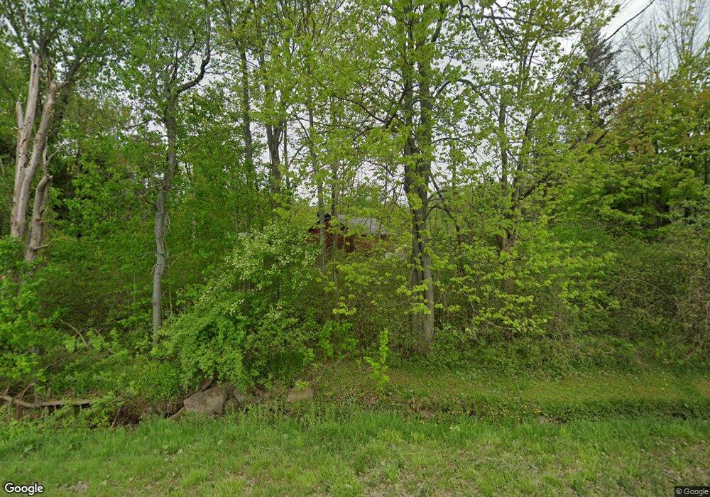
4167 Kortwright Rd Jamestown, NY 14701
Estimated Value: $115,000 - $174,000
3
Beds
1
Bath
1,356
Sq Ft
$115/Sq Ft
Est. Value
About This Home
This home is located at 4167 Kortwright Rd, Jamestown, NY 14701 and is currently estimated at $156,450, approximately $115 per square foot. 4167 Kortwright Rd is a home located in Chautauqua County with nearby schools including Southwestern Elementary School, Southwestern Middle School, and Southwestern Senior High School.
Ownership History
Date
Name
Owned For
Owner Type
Purchase Details
Closed on
Aug 16, 2007
Sold by
Blood Shaun L
Bought by
Blood Shaun L
Current Estimated Value
Home Financials for this Owner
Home Financials are based on the most recent Mortgage that was taken out on this home.
Original Mortgage
$90,000
Interest Rate
6.67%
Mortgage Type
Purchase Money Mortgage
Create a Home Valuation Report for This Property
The Home Valuation Report is an in-depth analysis detailing your home's value as well as a comparison with similar homes in the area
Home Values in the Area
Average Home Value in this Area
Purchase History
| Date | Buyer | Sale Price | Title Company |
|---|---|---|---|
| Blood Shaun L | -- | -- |
Source: Public Records
Mortgage History
| Date | Status | Borrower | Loan Amount |
|---|---|---|---|
| Closed | Blood Shaun L | $90,000 |
Source: Public Records
Tax History Compared to Growth
Tax History
| Year | Tax Paid | Tax Assessment Tax Assessment Total Assessment is a certain percentage of the fair market value that is determined by local assessors to be the total taxable value of land and additions on the property. | Land | Improvement |
|---|---|---|---|---|
| 2024 | $3,138 | $84,500 | $14,600 | $69,900 |
| 2023 | $3,100 | $84,500 | $14,600 | $69,900 |
| 2022 | $2,919 | $84,500 | $14,600 | $69,900 |
| 2021 | $2,855 | $84,500 | $14,600 | $69,900 |
| 2020 | $2,229 | $84,500 | $14,600 | $69,900 |
| 2019 | $2,166 | $84,500 | $14,600 | $69,900 |
| 2018 | $2,166 | $84,500 | $14,600 | $69,900 |
| 2017 | $2,165 | $84,500 | $14,600 | $69,900 |
| 2016 | $2,145 | $84,500 | $14,600 | $69,900 |
| 2015 | -- | $84,500 | $14,600 | $69,900 |
| 2014 | -- | $84,500 | $14,600 | $69,900 |
Source: Public Records
Map
Nearby Homes
- 00 Busti Rd
- 265 Big Tree Sugar Grove Rd
- 4371 Lawson Rd
- Lot 28 Maple St St
- 12505 Jackson Run Rd
- 455 Creek Rd
- 0 Mead Rd Unit R1624975
- 0 Pine Ridge - Vl Rd
- 0 Pine Ridge Vl Rd
- 00 Nutt Rd
- 3714 Mead Rd
- 878 - 884 - 888 - 89 Busti Sugar Grove Rd
- 0 Orr St
- 0 Burton Rd Unit R1628359
- 3710 Cowing Rd
- 0 Washington St
- 1520 Trask Rd
- 1479 Orr St Extension
- 0 Baker St Unit R1631307
- 2724 Mitchell Rd
- 4165 Kortwright Rd
- 4187 Kortwright Rd
- 4207 Kortwright Rd
- 145 Sanbury Rd
- 204 Sanbury Rd
- 163 Sanbury Rd
- 4011 Kortwright Rd
- 4337 Kortwright Rd
- 10 Big Tree Sugar Grove Rd
- 1175 Busti Rd
- 1211 Busti Rd
- 1239 Busti Rd
- 1111 Busti Rd
- 1055 Busti Rd
- 1029 Busti Rd
- 4219 Northrup Rd
- 3957 Kortwright Rd
- 46 Big Tree Sugar Grove Rd
- 124 Big Tree Sugar Grove Rd
- 1090 Busti Rd
