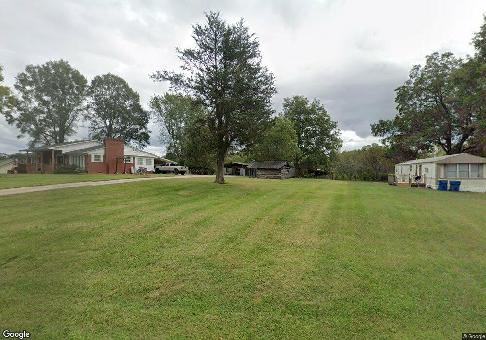
4169 Highway 182 Crouse, NC 28033
Estimated Value: $395,000 - $474,000
3
Beds
2
Baths
2,056
Sq Ft
$216/Sq Ft
Est. Value
About This Home
This home is located at 4169 Highway 182, Crouse, NC 28033 and is currently estimated at $444,000, approximately $215 per square foot. 4169 Highway 182 is a home located in Lincoln County with nearby schools including Norris S. Childers Elementary School, West Lincoln Middle, and West Lincoln High School.
Ownership History
Date
Name
Owned For
Owner Type
Purchase Details
Closed on
Jan 5, 2011
Sold by
Leonhardt Harold D
Bought by
Leonhardt Harold D
Current Estimated Value
Purchase Details
Closed on
Nov 5, 2010
Sold by
Hoover Jerry D and Hoover Tony
Bought by
Leonhardt Harold D
Purchase Details
Closed on
Jan 18, 2002
Bought by
L & H Enterprises, Inc
Purchase Details
Closed on
Oct 18, 1999
Bought by
Little Roy R and Little Mary F
Create a Home Valuation Report for This Property
The Home Valuation Report is an in-depth analysis detailing your home's value as well as a comparison with similar homes in the area
Purchase History
| Date | Buyer | Sale Price | Title Company |
|---|---|---|---|
| Leonhardt Harold D | -- | None Available | |
| Leonhardt Harold D | -- | None Available | |
| L & H Enterprises, Inc | $154,000 | -- | |
| Little Roy R | $265,000 | -- |
Source: Public Records
Tax History
| Year | Tax Paid | Tax Assessment Tax Assessment Total Assessment is a certain percentage of the fair market value that is determined by local assessors to be the total taxable value of land and additions on the property. | Land | Improvement |
|---|---|---|---|---|
| 2025 | $2,450 | $342,024 | $53,146 | $288,878 |
| 2024 | $2,410 | $342,024 | $53,146 | $288,878 |
| 2023 | $2,410 | $342,024 | $53,146 | $288,878 |
| 2022 | $1,804 | $208,671 | $40,288 | $168,383 |
| 2021 | $1,804 | $208,671 | $40,288 | $168,383 |
| 2020 | $1,533 | $208,671 | $40,288 | $168,383 |
| 2019 | $1,533 | $208,671 | $40,288 | $168,383 |
| 2018 | $1,570 | $186,497 | $38,407 | $148,090 |
| 2017 | $1,368 | $186,497 | $38,407 | $148,090 |
| 2016 | $1,368 | $186,497 | $38,407 | $148,090 |
| 2015 | $1,511 | $186,497 | $38,407 | $148,090 |
| 2014 | $1,492 | $188,760 | $40,550 | $148,210 |
Source: Public Records
Map
Nearby Homes
- 0000 Shoal Rd
- 5740 Crouse Rd
- 5199 Helms End of Trail
- 7124 Old Hickory Ln
- 946 Shoal Rd
- 4850 Gideon Dr
- 5159 Flay Rd
- 4832 Gideon Dr
- 520 Shoal Rd
- 00 Star Ln Unit 1
- 3051 Shoal Rd
- 000 Leonards Fork Church Rd
- 00 Westwinds Rd Unit F3
- 1000 Creekside Dr
- 3987 W Highway 27
- 4773 Westwinds Rd
- 1357 Malden Ct
- 3316 Evondale Rd
- 00 Arrow St Unit 38
- 110 Alf Hoover Rd
- 4147 Highway 182
- 4131 Highway 182
- 000 Hwy 182 Hwy Unit 4-6
- 8.5 Highway 182 Hwy
- 8.5 Hwy 182 Unit 1-6
- 4119 Highway 182
- 4214 Highway 182
- 4214 Highway 182
- 4118 N Carolina 182
- 4118 Highway 182
- 1950 Johnstown Rd
- 4105 Highway 182
- 4144 Nc 182 Hwy
- 4093 Highway 182
- 4077 Highway 182
- 2014 Johnstown Rd
- 4077 Highway 182
- 1940 Johnstown Rd
- 1958 Johnstown Rd
- 1920 Johnstown Rd
Your Personal Tour Guide
Ask me questions while you tour the home.