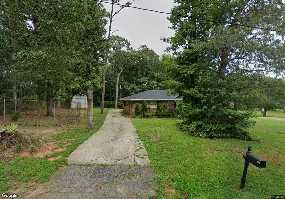
417 Anderson Rd Pendleton, SC 29670
Estimated Value: $122,324 - $273,000
Studio
--
Bath
1,482
Sq Ft
$153/Sq Ft
Est. Value
About This Home
This home is located at 417 Anderson Rd, Pendleton, SC 29670 and is currently estimated at $226,831, approximately $153 per square foot. 417 Anderson Rd is a home with nearby schools including Pendleton High School and Clemson Montessori School.
Ownership History
Date
Name
Owned For
Owner Type
Purchase Details
Closed on
Nov 25, 2015
Sold by
Benson Johnnie F
Bought by
Benson Francis K
Current Estimated Value
Purchase Details
Closed on
Apr 19, 2012
Sold by
Anderson County Forfeited Land Commissio
Bought by
Benson Johnnie F
Purchase Details
Closed on
Oct 20, 2011
Sold by
Cooley William J
Bought by
Anderson County Forfeited Land Commissio
Purchase Details
Closed on
Mar 11, 2009
Sold by
Benson Obediah
Bought by
Benson Francis K and Benson Johnnie F
Purchase Details
Closed on
Oct 10, 2006
Sold by
Benson Obadiah and Benson Mattie
Bought by
Cooley William J
Create a Home Valuation Report for This Property
The Home Valuation Report is an in-depth analysis detailing your home's value as well as a comparison with similar homes in the area
Home Values in the Area
Average Home Value in this Area
Purchase History
| Date | Buyer | Sale Price | Title Company |
|---|---|---|---|
| Benson Francis K | -- | -- | |
| Benson Johnnie F | $500 | -- | |
| Anderson County Forfeited Land Commissio | $370 | -- | |
| Benson Francis K | -- | -- | |
| Cooley William J | $500 | None Available |
Source: Public Records
Tax History
| Year | Tax Paid | Tax Assessment Tax Assessment Total Assessment is a certain percentage of the fair market value that is determined by local assessors to be the total taxable value of land and additions on the property. | Land | Improvement |
|---|---|---|---|---|
| 2024 | $1,108 | $2,990 | $660 | $2,330 |
| 2023 | $1,051 | $2,990 | $660 | $2,330 |
| 2022 | $1,023 | $2,990 | $660 | $2,330 |
| 2021 | $1,064 | $3,010 | $640 | $2,370 |
| 2020 | $1,055 | $3,010 | $640 | $2,370 |
| 2019 | $1,055 | $3,010 | $640 | $2,370 |
| 2018 | $1,041 | $3,010 | $640 | $2,370 |
| 2017 | -- | $3,010 | $640 | $2,370 |
| 2016 | $1,028 | $660 | $660 | $0 |
| 2015 | $208 | $660 | $660 | $0 |
| 2014 | $209 | $660 | $660 | $0 |
Source: Public Records
Map
Nearby Homes
- 616 Anderson Rd
- 0 Cherry Street Extension
- 540 Seaborn Cir
- 538 Seaborn Cir
- 150 Queens Mill Ct
- 156 Queens Mill Ct
- 168 Queens Mill Ct
- 00 Danenhower Rd
- 213 Bostic Ct
- 103 Windward Ct
- 209 Bostic Ct
- 139 Louise Dr
- 107 Colonial Ct
- 102 Magnolia Ln
- 206 Bostic Ct
- 205 Bostic Ct
- 202 Bostic Ct
- 104 Benjamin Blvd
- 305 Smith Ln
- 1000 Hopkins Ave
- Tr 2 off Anderson Rd
- 00 Anderson Rd
- 0 Anderson Rd Unit 20169305
- 0 Anderson Rd Unit 20247062
- 0 Anderson Rd Unit 20169308
- 425 Anderson Rd
- 415 Anderson Rd
- 424 Anderson Rd
- 2307 Refuge Rd
- 325 Anderson Rd
- 2227 Refuge Rd
- 447 Anderson Rd
- 2217 Refuge Rd
- 2312 Refuge Rd
- 2213 Refuge Rd
- 1313 Cherry Street Extension
- 2220 Refuge Rd
- 512 Anderson Rd
- 2214 Refuge Rd
- 100 Los Cabos Ln
Your Personal Tour Guide
Ask me questions while you tour the home.