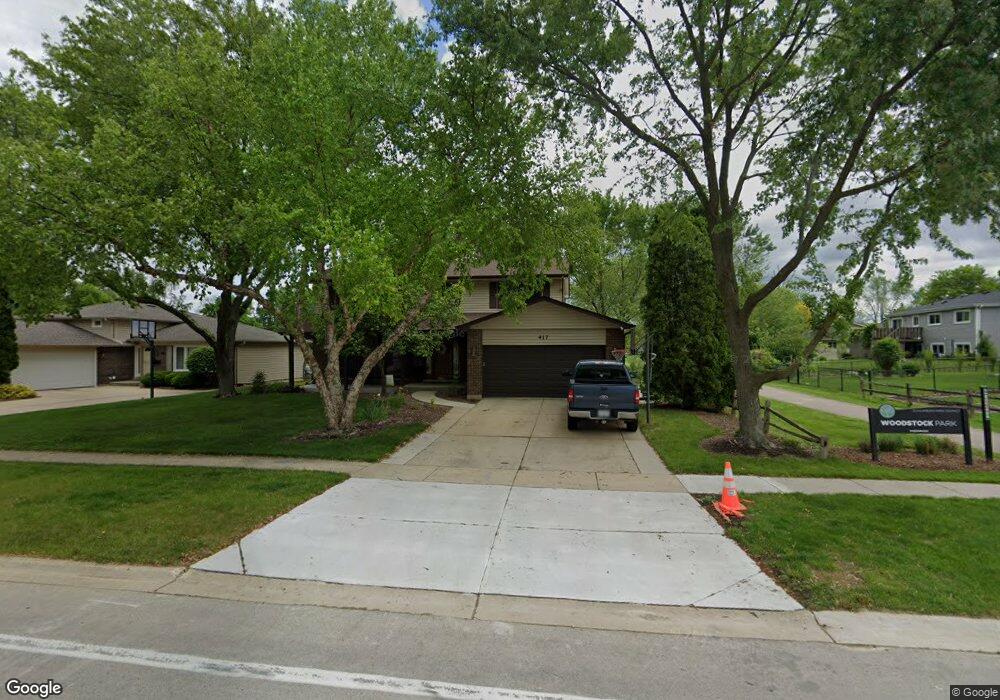
417 Ashwood Dr Schaumburg, IL 60193
South Schaumburg NeighborhoodEstimated Value: $552,000 - $601,000
4
Beds
3
Baths
2,409
Sq Ft
$241/Sq Ft
Est. Value
About This Home
This home is located at 417 Ashwood Dr, Schaumburg, IL 60193 and is currently estimated at $579,540, approximately $240 per square foot. 417 Ashwood Dr is a home located in Cook County with nearby schools including Everett Dirksen Elementary School, Robert Frost Junior High School, and Schaumburg High School.
Ownership History
Date
Name
Owned For
Owner Type
Purchase Details
Closed on
Oct 7, 2004
Sold by
Adent Barbara J
Bought by
Packard Darrel J and Packard Deborah L
Current Estimated Value
Home Financials for this Owner
Home Financials are based on the most recent Mortgage that was taken out on this home.
Original Mortgage
$280,000
Interest Rate
5.86%
Mortgage Type
Unknown
Purchase Details
Closed on
Jun 16, 1997
Sold by
Adent William W and Adent Barbara J
Bought by
Adent Barbara J and Barbara J Adent Declaration Of Trust
Create a Home Valuation Report for This Property
The Home Valuation Report is an in-depth analysis detailing your home's value as well as a comparison with similar homes in the area
Home Values in the Area
Average Home Value in this Area
Purchase History
| Date | Buyer | Sale Price | Title Company |
|---|---|---|---|
| Packard Darrel J | $400,000 | Atgf Inc | |
| Adent Barbara J | -- | -- |
Source: Public Records
Mortgage History
| Date | Status | Borrower | Loan Amount |
|---|---|---|---|
| Previous Owner | Packard Darrel J | $280,000 |
Source: Public Records
Tax History Compared to Growth
Tax History
| Year | Tax Paid | Tax Assessment Tax Assessment Total Assessment is a certain percentage of the fair market value that is determined by local assessors to be the total taxable value of land and additions on the property. | Land | Improvement |
|---|---|---|---|---|
| 2024 | $10,556 | $41,000 | $7,912 | $33,088 |
| 2023 | $10,208 | $41,000 | $7,912 | $33,088 |
| 2022 | $10,208 | $41,000 | $7,912 | $33,088 |
| 2021 | $8,865 | $32,580 | $6,813 | $25,767 |
| 2020 | $8,781 | $32,580 | $6,813 | $25,767 |
| 2019 | $8,784 | $36,201 | $6,813 | $29,388 |
| 2018 | $8,775 | $32,673 | $5,933 | $26,740 |
| 2017 | $9,831 | $36,659 | $5,933 | $30,726 |
| 2016 | $9,436 | $36,659 | $5,933 | $30,726 |
| 2015 | $8,992 | $32,679 | $5,054 | $27,625 |
| 2014 | $8,909 | $32,679 | $5,054 | $27,625 |
| 2013 | $8,663 | $32,679 | $5,054 | $27,625 |
Source: Public Records
Map
Nearby Homes
- 315 Ashwood Dr
- 516 W Weathersfield Way
- 712 Dante Ct
- 412 Redwood Ln
- 226 Timbercrest Dr
- 635 Limerick Ln Unit 2B
- 614 Tralee Ct Unit 2-C
- 631 Derry Ct Unit 3C
- 711 Tipperary Ct Unit 2D
- 32 Hilltop Dr
- 733 Limerick Ln Unit 7333D
- 220 Kemah Ln
- 11 Stone Bridge Ct
- 12 Stone Bridge Ct
- 300 S Roselle Rd Unit 519
- 300 S Roselle Rd Unit 419
- 300 S Roselle Rd Unit 116
- 300 S Roselle Rd Unit 207
- 13 Sarahs Grove Ln
- 305 Williams Dr
- 411 Ashwood Dr
- 421 Ashwood Dr
- 505 S Cedarcrest Dr
- 407 Ashwood Dr
- 412 Ashwood Dr
- 509 S Cedarcrest Dr
- 418 Ashwood Dr
- 431 S Cedarcrest Dr
- 401 Ashwood Dr
- 424 Ashwood Ct
- 513 S Cedarcrest Dr
- 427 S Cedarcrest Dr
- 333 Ashwood Dr
- 400 Ashwood Dr
- 504 S Cedarcrest Dr
- 502 S Cedarcrest Dr
- 420 Ashwood Ct
- 508 S Cedarcrest Dr
- 517 S Cedarcrest Dr
- 423 S Cedarcrest Dr