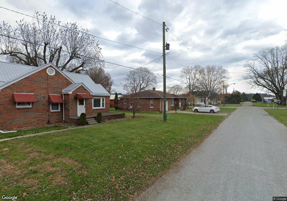
417 B St Holmesville, OH 44633
Estimated Value: $190,812 - $291,000
--
Bed
--
Bath
1,620
Sq Ft
$144/Sq Ft
Est. Value
About This Home
This home is located at 417 B St, Holmesville, OH 44633 and is currently estimated at $233,203, approximately $143 per square foot. 417 B St is a home with nearby schools including Waynedale High School, DIAMOND VIEW, and Country Lane.
Ownership History
Date
Name
Owned For
Owner Type
Purchase Details
Closed on
Dec 27, 2023
Sold by
Parrot William A
Bought by
Hershberger Daniel S and Hershberger Ruth B
Current Estimated Value
Purchase Details
Closed on
May 21, 2007
Sold by
Fitzpatric Doris E
Bought by
Parrot William A
Home Financials for this Owner
Home Financials are based on the most recent Mortgage that was taken out on this home.
Original Mortgage
$125,000
Interest Rate
6.21%
Mortgage Type
New Conventional
Purchase Details
Closed on
Jan 1, 1990
Bought by
Fitzpatric Doris E
Create a Home Valuation Report for This Property
The Home Valuation Report is an in-depth analysis detailing your home's value as well as a comparison with similar homes in the area
Home Values in the Area
Average Home Value in this Area
Purchase History
| Date | Buyer | Sale Price | Title Company |
|---|---|---|---|
| Hershberger Daniel S | $250,000 | None Listed On Document | |
| Parrot William A | $125,000 | Title Etc | |
| Fitzpatric Doris E | -- | -- |
Source: Public Records
Mortgage History
| Date | Status | Borrower | Loan Amount |
|---|---|---|---|
| Previous Owner | Parrot William A | $125,000 |
Source: Public Records
Tax History Compared to Growth
Tax History
| Year | Tax Paid | Tax Assessment Tax Assessment Total Assessment is a certain percentage of the fair market value that is determined by local assessors to be the total taxable value of land and additions on the property. | Land | Improvement |
|---|---|---|---|---|
| 2024 | $2,054 | $49,180 | $4,870 | $44,310 |
| 2023 | $2,054 | $49,180 | $4,870 | $44,310 |
| 2022 | $2,080 | $49,180 | $4,870 | $44,310 |
| 2021 | $1,992 | $44,850 | $4,460 | $40,390 |
| 2020 | $2,012 | $44,850 | $4,460 | $40,390 |
| 2019 | $1,968 | $44,850 | $4,460 | $40,390 |
| 2018 | $1,741 | $40,660 | $4,190 | $36,470 |
| 2017 | $1,766 | $40,660 | $4,190 | $36,470 |
| 2016 | $1,784 | $40,660 | $4,190 | $36,470 |
| 2015 | $1,681 | $37,450 | $4,130 | $33,320 |
| 2014 | $1,688 | $37,450 | $4,130 | $33,320 |
| 2013 | $892 | $37,450 | $4,130 | $33,320 |
Source: Public Records
Map
Nearby Homes
- 7335 Township Road 571
- V/L County Road 201
- V/L Township Road 605
- V/L Township Road 605
- 591 N Mill St Unit B
- 591 N Mill St Unit D
- 591 N Mill St
- 591 N Mill St Unit C
- 591 N Mill St Unit A
- 1025 Willow Dr
- 126 Stony Creek Dr
- 1024 Willow Dr
- 1023 Willow Dr
- 1010 Beech Ave
- 1008 Beech Ave
- 1003 Sycamore Ln
- 1009 Sycamore Ln
- 995 Beech Ave
- 4434 Graber Rd
- 0 Nonpariel Rd