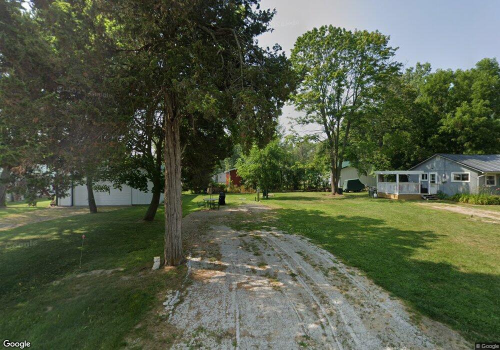
417 Belding St Crystal, MI 48818
Estimated Value: $145,000 - $459,000
Studio
--
Bath
--
Sq Ft
5,881
Sq Ft Lot
About This Home
This home is located at 417 Belding St, Crystal, MI 48818 and is currently estimated at $261,000. 417 Belding St is a home located in Montcalm County with nearby schools including Carson City Elementary School, Carson City-Crystal Upper Elementary/Middle School, and Carson City-Crystal High School.
Ownership History
Date
Name
Owned For
Owner Type
Purchase Details
Closed on
Feb 28, 2001
Sold by
Hopkins Timothy H
Bought by
Waldron Jamie
Current Estimated Value
Purchase Details
Closed on
Jan 30, 2001
Sold by
Turner Paul and Turner Arlene
Bought by
Hopkins Timothy H
Purchase Details
Closed on
Oct 19, 1998
Sold by
Gibbons Robert Anthony Paul
Bought by
Waldron Jamie Lynn
Purchase Details
Closed on
Aug 26, 1997
Sold by
Hopkins Timothy H
Bought by
Waldron Jamie
Purchase Details
Closed on
Apr 22, 1997
Sold by
Turner Paul and Turner Arlene
Bought by
Hopkins Timothy H Lc
Purchase Details
Closed on
Oct 1, 1988
Purchase Details
Closed on
Dec 1, 1987
Create a Home Valuation Report for This Property
The Home Valuation Report is an in-depth analysis detailing your home's value as well as a comparison with similar homes in the area
Purchase History
| Date | Buyer | Sale Price | Title Company |
|---|---|---|---|
| Waldron Jamie | $29,500 | -- | |
| Hopkins Timothy H | $29,500 | -- | |
| Waldron Jamie Lynn | -- | -- | |
| Waldron Jamie | $29,500 | -- | |
| Hopkins Timothy H Lc | $29,500 | -- | |
| -- | $1,800 | -- | |
| -- | -- | -- |
Source: Public Records
Tax History
| Year | Tax Paid | Tax Assessment Tax Assessment Total Assessment is a certain percentage of the fair market value that is determined by local assessors to be the total taxable value of land and additions on the property. | Land | Improvement |
|---|---|---|---|---|
| 2025 | $121 | $8,200 | $0 | $0 |
| 2024 | $103 | $7,800 | $0 | $0 |
| 2023 | -- | $7,800 | $0 | $0 |
Source: Public Records
Map
Nearby Homes
- 802 Parker St
- 8386 E Sidney Rd
- 2695 Ovid St
- 305 E Lasalle St
- 8652 E Colby Rd
- 1283 S Waldron Rd
- 2100 Strait Tow Blvd
- 890 S Senator Rd
- 4337 Holland Lake Rd
- 1050 Wicker Rd SE
- 3545 S Roy Dr
- 7518 S Crystal Rd
- Lot A Blackmer Rd
- 4218 E Klees Rd
- 6758 S Mount Hope Rd
- 5019 S Townhall Rd
- 8093 S Bloomer St
- 4685 Meadow View Dr
- 4668 Meadow View Dr
- 4599 Creek View Ct
Your Personal Tour Guide
Ask me questions while you tour the home.