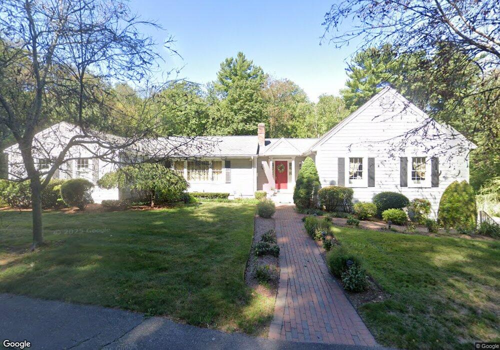
417 Cushing St Hingham, MA 02043
South Hingham NeighborhoodEstimated Value: $1,050,000 - $1,330,000
4
Beds
3
Baths
2,850
Sq Ft
$413/Sq Ft
Est. Value
About This Home
This home is located at 417 Cushing St, Hingham, MA 02043 and is currently estimated at $1,177,143, approximately $413 per square foot. 417 Cushing St is a home located in Plymouth County with nearby schools including South Elementary School, Hingham Middle School, and Hingham High School.
Ownership History
Date
Name
Owned For
Owner Type
Purchase Details
Closed on
Mar 22, 2016
Sold by
Giordano Anthony J and Giordano Lorena S
Bought by
Giordano Ft
Current Estimated Value
Purchase Details
Closed on
Jun 15, 1973
Bought by
Giordano Ft
Create a Home Valuation Report for This Property
The Home Valuation Report is an in-depth analysis detailing your home's value as well as a comparison with similar homes in the area
Home Values in the Area
Average Home Value in this Area
Purchase History
| Date | Buyer | Sale Price | Title Company |
|---|---|---|---|
| Giordano Ft | -- | -- | |
| Giordano Ft | $43,500 | -- |
Source: Public Records
Mortgage History
| Date | Status | Borrower | Loan Amount |
|---|---|---|---|
| Previous Owner | Giordano Ft | $100,000 | |
| Previous Owner | Giordano Ft | $350,000 | |
| Previous Owner | Giordano Ft | $60,000 |
Source: Public Records
Tax History
| Year | Tax Paid | Tax Assessment Tax Assessment Total Assessment is a certain percentage of the fair market value that is determined by local assessors to be the total taxable value of land and additions on the property. | Land | Improvement |
|---|---|---|---|---|
| 2025 | $9,305 | $870,400 | $453,800 | $416,600 |
| 2024 | $9,323 | $859,300 | $453,800 | $405,500 |
| 2023 | $8,493 | $849,300 | $453,800 | $395,500 |
| 2022 | $8,071 | $698,200 | $390,800 | $307,400 |
| 2021 | $7,827 | $663,300 | $390,800 | $272,500 |
| 2020 | $7,648 | $663,300 | $390,800 | $272,500 |
| 2019 | $7,656 | $648,300 | $390,800 | $257,500 |
| 2018 | $7,679 | $652,400 | $390,800 | $261,600 |
| 2017 | $7,574 | $618,300 | $377,200 | $241,100 |
| 2016 | $7,498 | $600,300 | $359,200 | $241,100 |
| 2015 | $7,305 | $583,000 | $341,900 | $241,100 |
Source: Public Records
Map
Nearby Homes
- 183 Gardner St
- 18 Whiting Ln
- 4 Kerri Ln
- 1 Kerri Ln
- 5 Old County Rd
- 100 Whiting St
- 13 Independence Ln
- 17 Pine Haven Cir
- 22 Longmeadow Rd
- 2 Black Rock Dr Unit 21
- 2 Black Rock Dr
- 1272 Washington St Unit G
- 16 Stacey Way
- 6 Old Stone Way Unit 3
- 14 Old Stone Way Unit 11
- 1 Elizabeth Ln Unit 1
- 3 Elizabeth Ln Unit 3
- 5 Elizabeth Ln Unit 5
- 7 Elizabeth Ln Unit 7
- 9 Elizabeth Ln Unit 9
- 399 Cushing St
- 412 Cushing St
- 395 Cushing St
- 406 Cushing St
- 444 Cushing St
- 402 Cushing St
- 418 Cushing St
- 443 Cushing St
- 398 Cushing St
- 394 Cushing St
- 384 Cushing St
- 450 Cushing St
- 424 Cushing St
- 447 Cushing St
- 380 Cushing St
- 380 Cushing St Unit 1
- 454 Cushing St
- 460 Cushing St
- 372 Cushing St
- 400 Cushing St
Your Personal Tour Guide
Ask me questions while you tour the home.