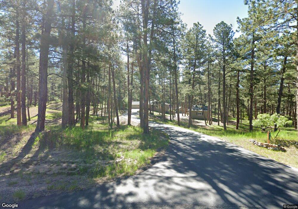
417 Doe Cir Franktown, CO 80116
Estimated Value: $828,000 - $969,000
3
Beds
2
Baths
3,840
Sq Ft
$238/Sq Ft
Est. Value
About This Home
This home is located at 417 Doe Cir, Franktown, CO 80116 and is currently estimated at $912,273, approximately $237 per square foot. 417 Doe Cir is a home located in Douglas County with nearby schools including Franktown Elementary School, Sagewood Middle School, and Ponderosa High School.
Ownership History
Date
Name
Owned For
Owner Type
Purchase Details
Closed on
Jun 29, 2017
Sold by
Murphy Kinner Tammi D and Simonson Leslie C
Bought by
Kaiser Richard and Kaiser Yvonne
Current Estimated Value
Purchase Details
Closed on
Sep 1, 1989
Sold by
Corken Robert E and Corken Carolyn R
Bought by
Simonson Leslie C and Simonson Loretta L
Purchase Details
Closed on
Apr 13, 1987
Sold by
Corken Robert E
Bought by
Corken Robert E and Corken Carolyn R
Purchase Details
Closed on
Feb 10, 1983
Sold by
Deerfield Land Co
Bought by
Corken Robert E
Create a Home Valuation Report for This Property
The Home Valuation Report is an in-depth analysis detailing your home's value as well as a comparison with similar homes in the area
Home Values in the Area
Average Home Value in this Area
Purchase History
| Date | Buyer | Sale Price | Title Company |
|---|---|---|---|
| Kaiser Richard | $495,000 | None Available | |
| Simonson Leslie C | $161,000 | -- | |
| Corken Robert E | -- | -- | |
| Corken Robert E | $40,000 | -- |
Source: Public Records
Tax History Compared to Growth
Tax History
| Year | Tax Paid | Tax Assessment Tax Assessment Total Assessment is a certain percentage of the fair market value that is determined by local assessors to be the total taxable value of land and additions on the property. | Land | Improvement |
|---|---|---|---|---|
| 2024 | $5,410 | $66,460 | $35,890 | $30,570 |
| 2023 | $5,470 | $66,460 | $35,890 | $30,570 |
| 2022 | $3,948 | $47,150 | $24,420 | $22,730 |
| 2021 | $4,090 | $47,150 | $24,420 | $22,730 |
| 2020 | $3,737 | $44,070 | $20,350 | $23,720 |
| 2019 | $3,755 | $44,070 | $20,350 | $23,720 |
| 2018 | $3,265 | $37,650 | $16,690 | $20,960 |
| 2017 | $3,040 | $37,650 | $16,690 | $20,960 |
| 2016 | $2,395 | $37,050 | $15,200 | $21,850 |
| 2015 | $1,225 | $37,050 | $15,200 | $21,850 |
| 2014 | $1,840 | $28,370 | $9,150 | $19,220 |
Source: Public Records
Map
Nearby Homes
- 10525 Wild Fox Place
- 720 N Bluff Dr
- 230 S Big Meadow Trail
- 11008 Sunset Oaks Place
- 11011 Sunset Oaks
- 9142 Warriors Mark Dr
- 9162 Warriors Mark Dr
- 1579 Deerpath Rd
- 11044 Conestoga Place
- 11584 E State Highway 86
- 1730 Ward Cir
- 104 Bill Davis Rd
- 1750 Arrowpoint Ct
- 1721 Arrowpoint Ct
- 1724 Arrowpoint Ct
- 8987 Village Pines Cir
- 8788 E Tanglewood Rd
- 856 Woodridge Rd
- 2130 Frontier Ln
- 2218 Deerpath Rd
- 468 Doe Cir
- 380 Doe Cir
- 369 Doe Cir
- 10150 Deerfield Rd
- 10327 Fawn Cir
- 499 S White Tail Dr
- 479 S White Tail Dr
- 968 N White Tail Dr
- 10307 Deerfield Rd
- 155 S White Tail Dr
- 971 N White Tail Dr
- 457 S White Tail Dr
- 938 N White Tail Dr
- 10281 Fawn Cir Unit 1
- 123 S White Tail Dr
- 10064 Deerfield Rd
- 437 S White Tail Dr
- 825 N White Tail Dr
- 476 S White Tail Dr Unit 1
- 863 N White Tail Dr