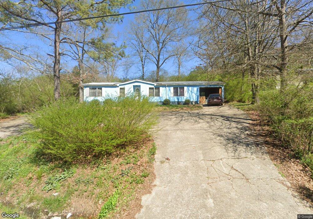
417 E Point Rd Cedartown, GA 30125
Estimated Value: $56,970 - $217,000
3
Beds
2
Baths
1,440
Sq Ft
$88/Sq Ft
Est. Value
About This Home
This home is located at 417 E Point Rd, Cedartown, GA 30125 and is currently estimated at $126,993, approximately $88 per square foot. 417 E Point Rd is a home with nearby schools including Cedar Christian School and Vineyard Harvester Christian Academy.
Ownership History
Date
Name
Owned For
Owner Type
Purchase Details
Closed on
May 1, 2012
Sold by
Thomas Gary
Bought by
Rubio Mike
Current Estimated Value
Purchase Details
Closed on
Jul 24, 2007
Sold by
Rubio Mike
Bought by
Thomas Gary
Home Financials for this Owner
Home Financials are based on the most recent Mortgage that was taken out on this home.
Original Mortgage
$50,700
Interest Rate
6.63%
Mortgage Type
New Conventional
Purchase Details
Closed on
Nov 13, 2005
Sold by
Federal National Mortgage Association
Bought by
Rubio Mike
Purchase Details
Closed on
Mar 1, 2005
Sold by
Un Planters Bank
Bought by
Federal National Mtg Associati
Purchase Details
Closed on
Dec 15, 2000
Sold by
Hoxie Fred
Bought by
Hoxie Lois L
Purchase Details
Closed on
Oct 16, 1986
Bought by
Hoxie Fred and Hoxie Lois
Create a Home Valuation Report for This Property
The Home Valuation Report is an in-depth analysis detailing your home's value as well as a comparison with similar homes in the area
Purchase History
| Date | Buyer | Sale Price | Title Company |
|---|---|---|---|
| Rubio Mike | $50,700 | -- | |
| Thomas Gary | $51,500 | -- | |
| Rubio Mike | $30,000 | -- | |
| Federal National Mtg Associati | $63,958 | -- | |
| Un Planters Bank | $63,958 | -- | |
| Hoxie Lois L | -- | -- | |
| Lois L Hoxie | -- | -- | |
| Hoxie Fred | -- | -- |
Source: Public Records
Mortgage History
| Date | Status | Borrower | Loan Amount |
|---|---|---|---|
| Previous Owner | Thomas Gary | $50,700 |
Source: Public Records
Tax History
| Year | Tax Paid | Tax Assessment Tax Assessment Total Assessment is a certain percentage of the fair market value that is determined by local assessors to be the total taxable value of land and additions on the property. | Land | Improvement |
|---|---|---|---|---|
| 2025 | $103 | $4,586 | $2,586 | $2,000 |
| 2024 | $79 | $3,763 | $1,763 | $2,000 |
| 2023 | $79 | $5,188 | $0 | $5,188 |
| 2022 | $75 | $4,606 | $0 | $4,606 |
| 2021 | $76 | $4,606 | $0 | $4,606 |
| 2020 | $28 | $4,606 | $0 | $4,606 |
| 2019 | $32 | $3,973 | $0 | $3,973 |
| 2018 | $32 | $1,176 | $1,176 | $0 |
| 2017 | $45 | $1,654 | $1,654 | $0 |
| 2016 | $21 | $761 | $761 | $0 |
| 2015 | $21 | $761 | $761 | $0 |
| 2014 | $21 | $761 | $761 | $0 |
Source: Public Records
Map
Nearby Homes
- 0 Coaling Rd Unit 9221-D 10352096
- 0 Coaling Rd Unit 9221-C 10352086
- 0 Coaling Rd Unit 9221 10352063
- 0 Coaling Rd Unit 9221-B 10352079
- 202 Ridgewood Rd
- 10 Woodglen Dr
- 305 Greenview Ct
- 873 E Point Rd
- 00 Juliette St
- 117 Hicklen Dr
- 0 Woodall Rd Unit 7730884
- 0 Woodall Rd Unit 10705831
- 1101 East Ave
- 206 Turner St
- 427 Park St
- 645 Valley Rd
- 117 Cason Rd
- 65 Oakwood Dr
- 232 Tuck St
- 315 Jones St
Your Personal Tour Guide
Ask me questions while you tour the home.