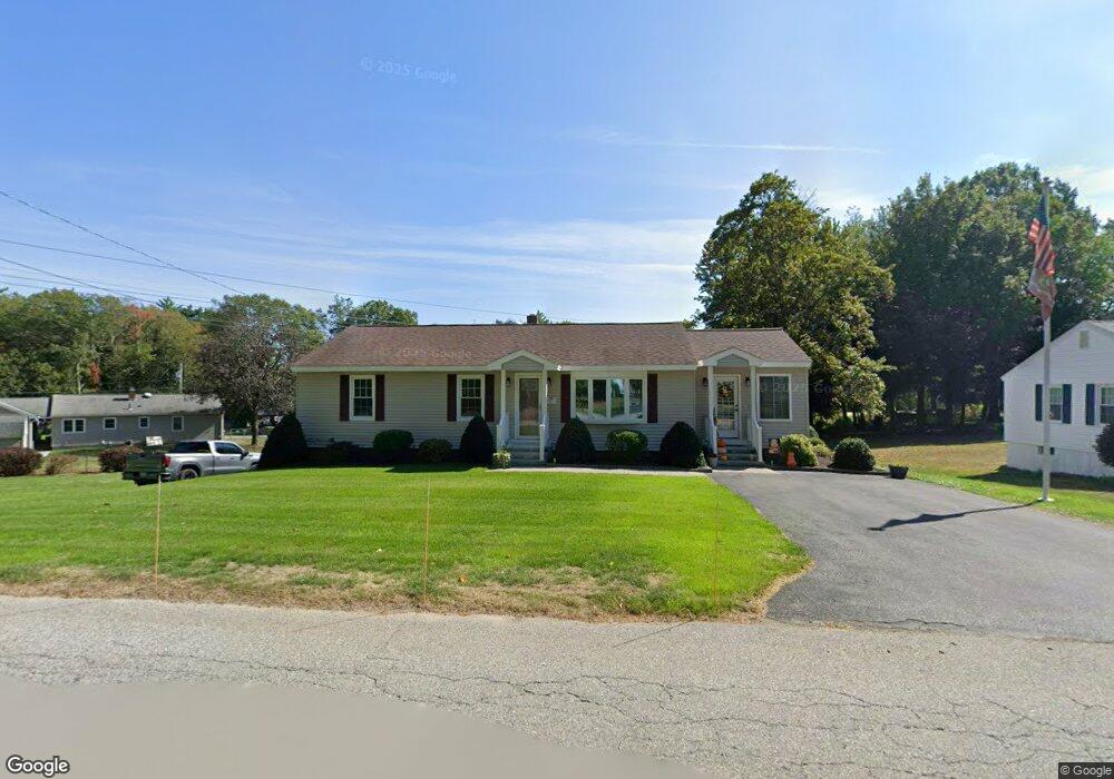
417 Grant St Leominster, MA 01453
Estimated Value: $476,000 - $504,000
3
Beds
3
Baths
1,332
Sq Ft
$368/Sq Ft
Est. Value
About This Home
This home is located at 417 Grant St, Leominster, MA 01453 and is currently estimated at $489,928, approximately $367 per square foot. 417 Grant St is a home located in Worcester County with nearby schools including Leominster High School, St. Anna Catholic School, and St. Leo School.
Ownership History
Date
Name
Owned For
Owner Type
Purchase Details
Closed on
Feb 1, 2019
Sold by
Robinson Kenneth P and Robinson Jean A
Bought by
417 Grant Street Rt
Current Estimated Value
Purchase Details
Closed on
May 16, 2012
Sold by
Vargo Frank E
Bought by
Robinson Kenneth P and Robinson Jean A
Purchase Details
Closed on
Oct 30, 1978
Bought by
Robinson Kenneth P and Robinson Jean A
Create a Home Valuation Report for This Property
The Home Valuation Report is an in-depth analysis detailing your home's value as well as a comparison with similar homes in the area
Home Values in the Area
Average Home Value in this Area
Purchase History
| Date | Buyer | Sale Price | Title Company |
|---|---|---|---|
| 417 Grant Street Rt | -- | -- | |
| Robinson Kenneth P | -- | -- | |
| Robinson Kenneth P | $37,500 | -- |
Source: Public Records
Mortgage History
| Date | Status | Borrower | Loan Amount |
|---|---|---|---|
| Previous Owner | Robinson Kenneth P | $65,000 | |
| Previous Owner | Robinson Kenneth P | $20,000 | |
| Previous Owner | Robinson Kenneth P | $73,500 |
Source: Public Records
Tax History Compared to Growth
Tax History
| Year | Tax Paid | Tax Assessment Tax Assessment Total Assessment is a certain percentage of the fair market value that is determined by local assessors to be the total taxable value of land and additions on the property. | Land | Improvement |
|---|---|---|---|---|
| 2025 | $5,479 | $390,500 | $129,300 | $261,200 |
| 2024 | $5,282 | $364,000 | $123,200 | $240,800 |
| 2023 | $5,119 | $329,400 | $107,100 | $222,300 |
| 2022 | $4,915 | $296,800 | $93,100 | $203,700 |
| 2021 | $4,656 | $256,800 | $72,500 | $184,300 |
| 2020 | $4,437 | $246,800 | $72,500 | $174,300 |
| 2019 | $4,010 | $216,300 | $69,100 | $147,200 |
| 2018 | $3,916 | $202,600 | $67,100 | $135,500 |
| 2017 | $3,680 | $186,500 | $62,700 | $123,800 |
| 2016 | $3,538 | $180,700 | $62,700 | $118,000 |
| 2015 | $3,371 | $173,400 | $62,700 | $110,700 |
| 2014 | $3,189 | $168,800 | $69,200 | $99,600 |
Source: Public Records
Map
Nearby Homes
- 6 Argentine St
- 109 Weathervane Dr
- 482 Grant St
- 23 Lantern Ln
- 112 Overlook Dr
- 3 Leo Gagnon Way Unit 3
- 1237 Central St Unit 2
- 1237 Central St Unit 15
- 24 Starling Way
- 197 Chapman Place Unit 197
- 675 Willard St
- 39 Legate Hill Rd
- 57 Chapman Place
- 170 Chapman Place
- 25 Crimson Ct
- 26 Belview Dr
- 740 Central St Unit L22
- 740 Central St Unit R24
- 597 Willard St
- 74 Crisci St