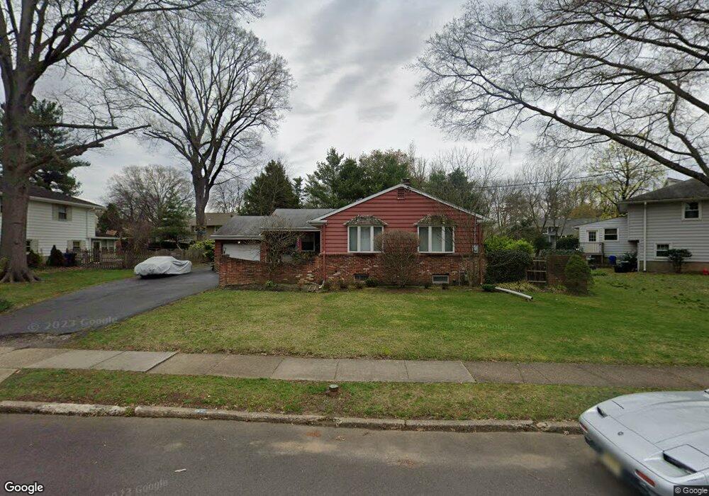
417 High St Moorestown, NJ 08057
Estimated Value: $359,000 - $586,000
Studio
--
Bath
1,456
Sq Ft
$318/Sq Ft
Est. Value
About This Home
This home is located at 417 High St, Moorestown, NJ 08057 and is currently estimated at $463,028, approximately $318 per square foot. 417 High St is a home located in Burlington County with nearby schools including Mary E. Roberts Elementary School, Moorestown Upper Elementary School, and William Allen Middle School.
Ownership History
Date
Name
Owned For
Owner Type
Purchase Details
Closed on
Mar 28, 2017
Sold by
Macmillan Brian Y and Macmillan Jennifer C
Bought by
Macmillan Brian Y
Current Estimated Value
Purchase Details
Closed on
Dec 8, 2010
Sold by
Taylor Margaret A and Macmillan Judith L
Bought by
Macmillan Brian Y and Mac Millan Jennifer C
Create a Home Valuation Report for This Property
The Home Valuation Report is an in-depth analysis detailing your home's value as well as a comparison with similar homes in the area
Home Values in the Area
Average Home Value in this Area
Purchase History
| Date | Buyer | Sale Price | Title Company |
|---|---|---|---|
| Macmillan Brian Y | -- | None Available | |
| Macmillan Brian Y | $135,000 | None Available |
Source: Public Records
Tax History Compared to Growth
Tax History
| Year | Tax Paid | Tax Assessment Tax Assessment Total Assessment is a certain percentage of the fair market value that is determined by local assessors to be the total taxable value of land and additions on the property. | Land | Improvement |
|---|---|---|---|---|
| 2025 | $7,061 | $248,900 | $147,400 | $101,500 |
| 2024 | $6,847 | $248,900 | $147,400 | $101,500 |
| 2023 | $6,847 | $248,900 | $147,400 | $101,500 |
| 2022 | $6,778 | $248,900 | $147,400 | $101,500 |
| 2021 | $6,684 | $248,900 | $147,400 | $101,500 |
| 2020 | $6,646 | $248,900 | $147,400 | $101,500 |
| 2019 | $6,529 | $248,900 | $147,400 | $101,500 |
| 2018 | $6,352 | $248,900 | $147,400 | $101,500 |
| 2017 | $6,407 | $248,900 | $147,400 | $101,500 |
| 2016 | $6,384 | $248,900 | $147,400 | $101,500 |
| 2015 | $6,307 | $248,900 | $147,400 | $101,500 |
| 2014 | $5,989 | $248,900 | $147,400 | $101,500 |
Source: Public Records
Map
Nearby Homes
- 8 S Close Unit 8
- 217 Hooton Rd
- 111 Fellowship Rd
- 129 S Church St
- 15 W Close Unit 15
- 104 Mount Laurel Rd
- 311 Highland Ave
- 228 Mill St
- 660 S Church St
- 206 Meadow Dr
- 66 E 3rd St
- 80 E 3rd St
- 444 Shady Ln
- 35 Sisters Farmstead Dr
- 133 Plum St Unit 6
- 401 W 3rd St
- 601 Stratford Dr
- 308 Elm St
- 205 E Central Ave
- 325 E 2nd St
- 413 High St
- 1 Wagon Bridge Run
- 420 Hooten Place
- 416 Hooten Place
- 5 Wagon Bridge Run
- 420 High St
- 409 High St
- 2 W Cooper Ave
- 424 High St
- 412 Hooten Place
- 428 High St
- 405 High St
- 1 W Cooper Ave
- 4 Wagon Bridge Run
- 408 Hooten Place
- 419 Hooton Place
- 419 Hooten Place
- 423 Hooten Place
- 415 Hooten Place
- 6 W Cooper Ave