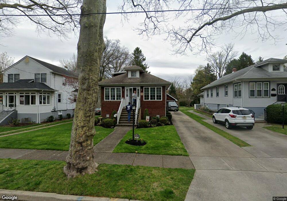
417 Kenilworth Ave Moorestown, NJ 08057
Estimated Value: $358,559 - $594,000
--
Bed
--
Bath
1,484
Sq Ft
$327/Sq Ft
Est. Value
About This Home
This home is located at 417 Kenilworth Ave, Moorestown, NJ 08057 and is currently estimated at $484,640, approximately $326 per square foot. 417 Kenilworth Ave is a home located in Burlington County with nearby schools including George C. Baker Elementary School, Moorestown Upper Elementary School, and William Allen Middle School.
Ownership History
Date
Name
Owned For
Owner Type
Purchase Details
Closed on
Feb 27, 1978
Bought by
Buss Joseph P and Buss Joyce E
Current Estimated Value
Create a Home Valuation Report for This Property
The Home Valuation Report is an in-depth analysis detailing your home's value as well as a comparison with similar homes in the area
Home Values in the Area
Average Home Value in this Area
Purchase History
| Date | Buyer | Sale Price | Title Company |
|---|---|---|---|
| Buss Joseph P | -- | -- |
Source: Public Records
Tax History Compared to Growth
Tax History
| Year | Tax Paid | Tax Assessment Tax Assessment Total Assessment is a certain percentage of the fair market value that is determined by local assessors to be the total taxable value of land and additions on the property. | Land | Improvement |
|---|---|---|---|---|
| 2025 | $6,553 | $231,000 | $123,900 | $107,100 |
| 2024 | $6,355 | $231,000 | $123,900 | $107,100 |
| 2023 | $6,355 | $231,000 | $123,900 | $107,100 |
| 2022 | $6,290 | $231,000 | $123,900 | $107,100 |
| 2021 | $5,957 | $231,000 | $123,900 | $107,100 |
| 2020 | $6,168 | $231,000 | $123,900 | $107,100 |
| 2019 | $6,059 | $231,000 | $123,900 | $107,100 |
| 2018 | $2,511 | $231,000 | $123,900 | $107,100 |
| 2017 | $5,611 | $231,000 | $123,900 | $107,100 |
| 2016 | $5,591 | $231,000 | $123,900 | $107,100 |
| 2015 | $5,520 | $231,000 | $123,900 | $107,100 |
| 2014 | $5,228 | $231,000 | $123,900 | $107,100 |
Source: Public Records
Map
Nearby Homes
- 313 Fairview Ave
- 423 Park Blvd
- 316 W 3rd St
- 308 Farmdale Rd
- 316 Farmdale Rd
- 493 N Church St
- 531 Covington Terrace
- 543 Bethel Ave
- 601 Stratford Dr
- 600 Stratford Dr
- 4 W Close
- 129 S Church St
- 709 Manor Terrace
- 308 Kenwood Dr
- 801 E Camden Ave
- 15 E 2nd St
- 310 S Washington Ave
- 50 E 3rd St
- 66 E 3rd St
- 206 E Camden Ave
- 419 Kenilworth Ave
- 415 Kenilworth Ave
- 413 Kenilworth Ave
- 315 Collins Ave
- 317 Collins Ave
- 411 Kenilworth Ave
- 418 Kenilworth Ave
- 319 Collins Ave
- 416 Kenilworth Ave
- 409 Kenilworth Ave
- 414 Kenilworth Ave
- 321 Collins Ave
- 313 Collins Ave
- 412 Kenilworth Ave
- 323 Collins Ave
- 407 Kenilworth Ave
- 311 Collins Ave
- 410 Kenilworth Ave
- 408 Kenilworth Ave
- 405 Kenilworth Ave