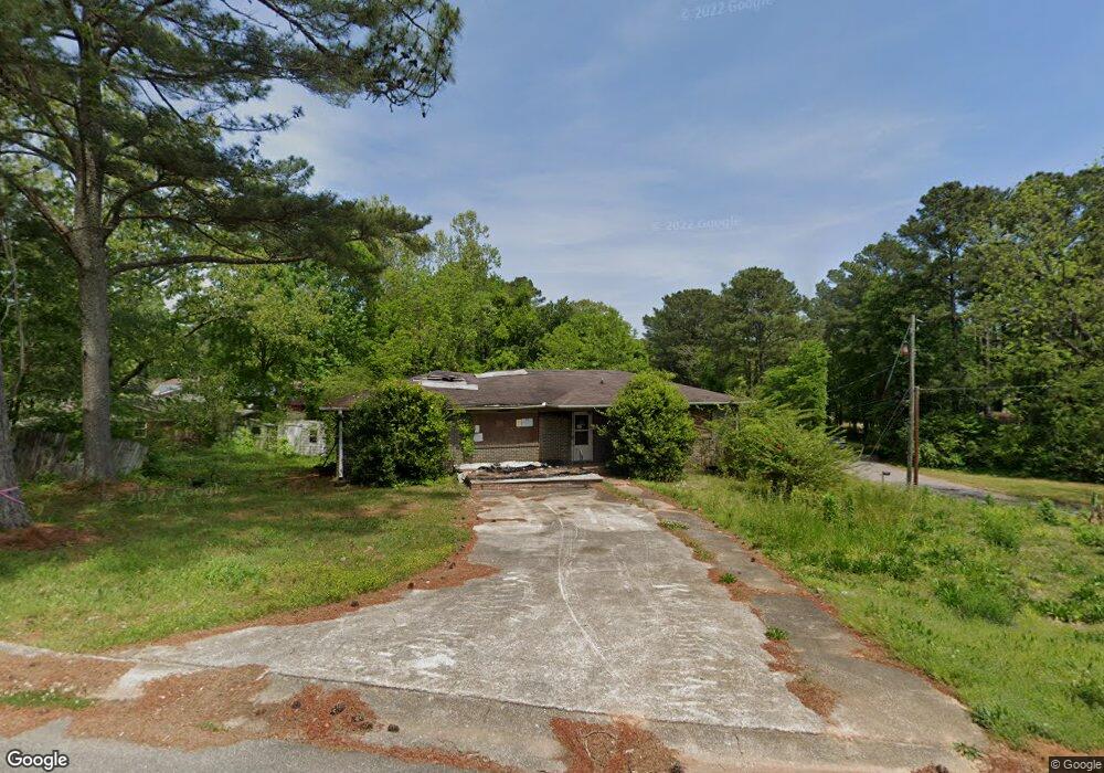
417 Kim Dr Center Point, AL 35215
Estimated Value: $68,000 - $162,000
3
Beds
2
Baths
1,539
Sq Ft
$81/Sq Ft
Est. Value
About This Home
This home is located at 417 Kim Dr, Center Point, AL 35215 and is currently estimated at $124,531, approximately $80 per square foot. 417 Kim Dr is a home located in Jefferson County with nearby schools including Center Point Elementary School, Erwin Elementary School, and Erwin Middle School.
Ownership History
Date
Name
Owned For
Owner Type
Purchase Details
Closed on
Jan 8, 2024
Sold by
Wells Fargo Bank N A
Bought by
Kendrick Lisa Dionne
Current Estimated Value
Purchase Details
Closed on
Apr 27, 2021
Sold by
Harris Martha C Estate
Bought by
Wells Fargo Bank Na
Purchase Details
Closed on
Jan 9, 2020
Sold by
Harris Martha C
Bought by
Wells Fargo Bank Na and C/O Wells Fargo Real Estate Tax Svcs Llc
Purchase Details
Closed on
Jun 22, 2005
Sold by
Swann James E and Swann William P
Bought by
Harris Martha C
Home Financials for this Owner
Home Financials are based on the most recent Mortgage that was taken out on this home.
Original Mortgage
$86,450
Interest Rate
8.4%
Mortgage Type
Fannie Mae Freddie Mac
Create a Home Valuation Report for This Property
The Home Valuation Report is an in-depth analysis detailing your home's value as well as a comparison with similar homes in the area
Home Values in the Area
Average Home Value in this Area
Purchase History
| Date | Buyer | Sale Price | Title Company |
|---|---|---|---|
| Kendrick Lisa Dionne | $32,600 | -- | |
| Wells Fargo Bank Na | -- | -- | |
| Wells Fargo Bank Na | -- | -- | |
| Harris Martha C | $91,000 | -- |
Source: Public Records
Mortgage History
| Date | Status | Borrower | Loan Amount |
|---|---|---|---|
| Previous Owner | Harris Martha C | $86,450 |
Source: Public Records
Tax History Compared to Growth
Tax History
| Year | Tax Paid | Tax Assessment Tax Assessment Total Assessment is a certain percentage of the fair market value that is determined by local assessors to be the total taxable value of land and additions on the property. | Land | Improvement |
|---|---|---|---|---|
| 2024 | $523 | $10,080 | -- | -- |
| 2022 | $495 | $9,020 | $5,500 | $3,520 |
| 2021 | $475 | $8,620 | $5,500 | $3,120 |
| 2020 | $1,494 | $8,380 | $5,500 | $2,880 |
| 2019 | $0 | $13,560 | $0 | $0 |
| 2018 | $0 | $11,300 | $0 | $0 |
| 2017 | $0 | $11,300 | $0 | $0 |
| 2016 | $0 | $9,960 | $0 | $0 |
| 2015 | $716 | $11,300 | $0 | $0 |
| 2014 | $716 | $10,700 | $0 | $0 |
| 2013 | $716 | $10,700 | $0 | $0 |
Source: Public Records
Map
Nearby Homes
- 1628 Bobolink Ln NE
- 341 Argonne Dr NE
- 1624 Lake Dr NE Unit 1
- 133 16th Terrace NE
- 525 Polly Reed Rd
- 1798 Reed Rd NE
- 553 Polly Reed Rd
- 108 16th Ave NE
- 1637 1st St NE
- 724 Sunny Lane Dr
- 1804 Stonehenge Dr
- 136 Lake Dr NE
- 201 Lake Drive Cir NE
- 1857 Woodvine Ln
- 1824 Stonehenge Dr
- 1711 Old Springville Rd
- 1810 Oakleaf Ln
- 1839 Mara Dr
- 1341 Hatfield Ln
- 823 Sunny Lane Dr