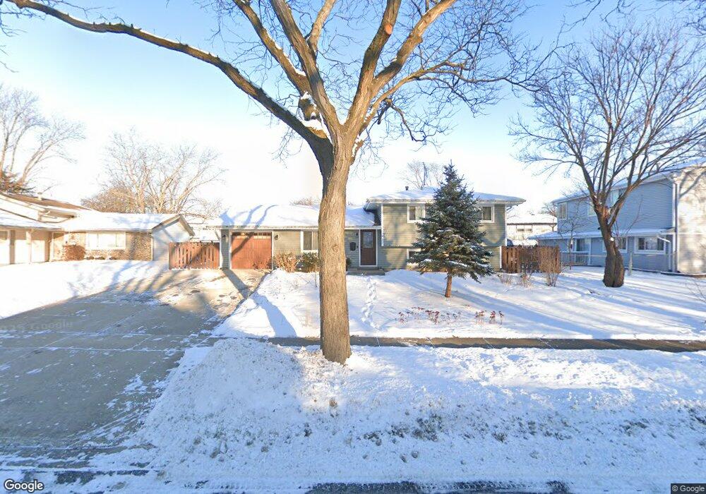
417 Marie Ln Schaumburg, IL 60193
South Schaumburg NeighborhoodEstimated Value: $372,000 - $408,000
3
Beds
2
Baths
1,075
Sq Ft
$366/Sq Ft
Est. Value
About This Home
This home is located at 417 Marie Ln, Schaumburg, IL 60193 and is currently estimated at $392,944, approximately $365 per square foot. 417 Marie Ln is a home located in Cook County with nearby schools including Thomas Dooley Elementary School, Jane Addams Junior High School, and Schaumburg High School.
Ownership History
Date
Name
Owned For
Owner Type
Purchase Details
Closed on
Feb 17, 2006
Sold by
Harris Na
Bought by
Mazur Lukasz and Mazur Jolanta
Current Estimated Value
Home Financials for this Owner
Home Financials are based on the most recent Mortgage that was taken out on this home.
Original Mortgage
$200,000
Outstanding Balance
$113,723
Interest Rate
6.37%
Mortgage Type
Fannie Mae Freddie Mac
Estimated Equity
$279,221
Purchase Details
Closed on
Oct 30, 2003
Sold by
Wentling Linde L
Bought by
Harris Trust & Savings Bank and Trust #Htb1415
Create a Home Valuation Report for This Property
The Home Valuation Report is an in-depth analysis detailing your home's value as well as a comparison with similar homes in the area
Home Values in the Area
Average Home Value in this Area
Purchase History
| Date | Buyer | Sale Price | Title Company |
|---|---|---|---|
| Mazur Lukasz | $300,000 | Rtc | |
| Harris Trust & Savings Bank | -- | -- |
Source: Public Records
Mortgage History
| Date | Status | Borrower | Loan Amount |
|---|---|---|---|
| Open | Mazur Lukasz | $200,000 |
Source: Public Records
Tax History Compared to Growth
Tax History
| Year | Tax Paid | Tax Assessment Tax Assessment Total Assessment is a certain percentage of the fair market value that is determined by local assessors to be the total taxable value of land and additions on the property. | Land | Improvement |
|---|---|---|---|---|
| 2024 | $6,498 | $26,515 | $5,982 | $20,533 |
| 2023 | $6,869 | $28,709 | $5,982 | $22,727 |
| 2022 | $6,869 | $28,709 | $5,982 | $22,727 |
| 2021 | $5,069 | $20,054 | $4,058 | $15,996 |
| 2020 | $5,447 | $21,387 | $4,058 | $17,329 |
| 2019 | $6,233 | $26,683 | $4,058 | $22,625 |
| 2018 | $6,032 | $23,533 | $3,631 | $19,902 |
| 2017 | $5,954 | $23,533 | $3,631 | $19,902 |
| 2016 | $5,811 | $23,533 | $3,631 | $19,902 |
| 2015 | $5,650 | $21,508 | $3,204 | $18,304 |
| 2014 | $5,604 | $21,508 | $3,204 | $18,304 |
| 2013 | $5,443 | $21,508 | $3,204 | $18,304 |
Source: Public Records
Map
Nearby Homes
- 305 Williams Dr
- 908 Jeffery Ct
- 220 Kemah Ln
- 412 Redwood Ln
- 516 W Weathersfield Way
- 818 Brentwood Ct
- 1027 Duxbury Ln
- 1125 Charlene Ln
- 988 Chelsea Ln
- 12 Stone Bridge Ct
- 712 Dante Ct
- 11 Stone Bridge Ct
- 226 Timbercrest Dr
- 315 Ashwood Dr
- 1008 Shannock Ln
- 32 Hilltop Dr
- 1321 Yarmouth Ct Unit 662
- 1403 Hampton Ln
- 521 Auburn Ln
- 104 N Braintree Dr
- 413 Marie Ln
- 834 W Weathersfield Way
- 830 W Weathersfield Way
- 416 Savoy Ct
- 409 Marie Ln
- 412 Savoy Ct
- 420 Marie Ln
- 422 Savoy Ct
- 416 Marie Ln
- 408 Savoy Ct
- 407 Marie Ln
- 911 Royal Ct Unit 14
- 912 W Weathersfield Way
- 833 W Weathersfield Way
- 901 W Weathersfield Way
- 401 Marie Ln
- 829 W Weathersfield Way
- 406 Savoy Ct
- 917 Royal Ct
- 905 W Weathersfield Way