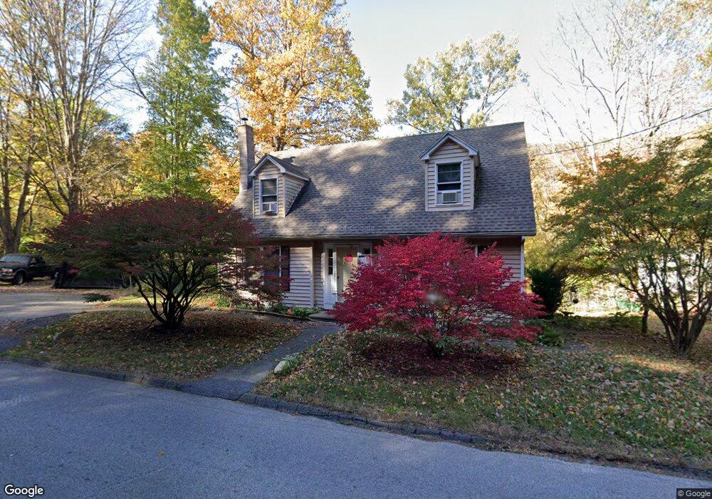
417 Newfield Rd Torrington, CT 06790
Estimated Value: $252,000 - $288,413
2
Beds
2
Baths
1,350
Sq Ft
$201/Sq Ft
Est. Value
About This Home
This home is located at 417 Newfield Rd, Torrington, CT 06790 and is currently estimated at $271,853, approximately $201 per square foot. 417 Newfield Rd is a home located in Litchfield County with nearby schools including Torrington Middle School, Torrington High School, and St. John Paul the Great Academy.
Ownership History
Date
Name
Owned For
Owner Type
Purchase Details
Closed on
Jan 27, 2004
Sold by
Est Avenia Vincent J and Avenia John A
Bought by
Macbroom William D and Macbroom Mary
Current Estimated Value
Home Financials for this Owner
Home Financials are based on the most recent Mortgage that was taken out on this home.
Original Mortgage
$137,559
Interest Rate
5.89%
Create a Home Valuation Report for This Property
The Home Valuation Report is an in-depth analysis detailing your home's value as well as a comparison with similar homes in the area
Home Values in the Area
Average Home Value in this Area
Purchase History
| Date | Buyer | Sale Price | Title Company |
|---|---|---|---|
| Macbroom William D | $117,200 | -- |
Source: Public Records
Mortgage History
| Date | Status | Borrower | Loan Amount |
|---|---|---|---|
| Open | Macbroom William D | $112,000 | |
| Closed | Macbroom William D | $139,622 | |
| Closed | Macbroom William D | $137,559 | |
| Previous Owner | Macbroom William D | $67,300 |
Source: Public Records
Tax History Compared to Growth
Tax History
| Year | Tax Paid | Tax Assessment Tax Assessment Total Assessment is a certain percentage of the fair market value that is determined by local assessors to be the total taxable value of land and additions on the property. | Land | Improvement |
|---|---|---|---|---|
| 2025 | $6,250 | $162,540 | $21,630 | $140,910 |
| 2024 | $4,247 | $88,540 | $21,610 | $66,930 |
| 2023 | $4,246 | $88,540 | $21,610 | $66,930 |
| 2022 | $4,174 | $88,540 | $21,610 | $66,930 |
| 2021 | $4,088 | $88,540 | $21,610 | $66,930 |
| 2020 | $4,088 | $88,540 | $21,610 | $66,930 |
| 2019 | $4,071 | $88,180 | $26,550 | $61,630 |
| 2018 | $4,071 | $88,180 | $26,550 | $61,630 |
| 2017 | $4,034 | $88,180 | $26,550 | $61,630 |
| 2016 | $4,034 | $88,180 | $26,550 | $61,630 |
| 2015 | $4,034 | $88,180 | $26,550 | $61,630 |
| 2014 | $4,644 | $127,860 | $48,190 | $79,670 |
Source: Public Records
Map
Nearby Homes
- 75 Hunter Ct Unit 75
- 134 Queens Rd Unit 134
- 3 Surrey Ln Unit L3
- 27 Surrey Ln Unit d27
- 0 Queens Rd
- 38 Surrey Ln Unit 38
- 0 Stoneridge Dr
- 18 Tarlton St
- 839 Main St Unit 56
- 839 Main St Unit 104
- 71 Doman Dr
- 90 Spruce Dr
- 58 Doman Dr
- 775 Main St
- 115 Margerie St
- 617 Guerdat Rd
- 118 Bannon St
- 00 Kennedy Dr
- 69 McGuinness St
- 0 Red Mountain Ave