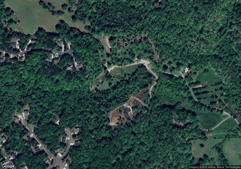
417 Oklahoma Ave W Dahlonega, GA 30533
Estimated Value: $370,000 - $712,065
--
Bed
1
Bath
1,448
Sq Ft
$351/Sq Ft
Est. Value
About This Home
This home is located at 417 Oklahoma Ave W, Dahlonega, GA 30533 and is currently estimated at $508,016, approximately $350 per square foot. 417 Oklahoma Ave W is a home with nearby schools including Lumpkin County High School.
Ownership History
Date
Name
Owned For
Owner Type
Purchase Details
Closed on
Mar 9, 2015
Sold by
Williams Harold W
Bought by
Mannino Edward F and Mannino Linda A
Current Estimated Value
Purchase Details
Closed on
Feb 22, 2012
Sold by
Williams Harold W and Williams Carol B
Bought by
Williams Harold W Or Carol B Trustee Of
Purchase Details
Closed on
Dec 31, 1996
Bought by
Williams Harold W
Create a Home Valuation Report for This Property
The Home Valuation Report is an in-depth analysis detailing your home's value as well as a comparison with similar homes in the area
Home Values in the Area
Average Home Value in this Area
Purchase History
| Date | Buyer | Sale Price | Title Company |
|---|---|---|---|
| Mannino Edward F | $189,345 | -- | |
| Williams Harold W Or Carol B Trustee Of | -- | -- | |
| Williams Harold W | $144,000 | -- |
Source: Public Records
Tax History Compared to Growth
Tax History
| Year | Tax Paid | Tax Assessment Tax Assessment Total Assessment is a certain percentage of the fair market value that is determined by local assessors to be the total taxable value of land and additions on the property. | Land | Improvement |
|---|---|---|---|---|
| 2024 | $316 | $234,390 | $121,696 | $112,694 |
| 2023 | $310 | $213,605 | $107,526 | $106,079 |
| 2022 | $433 | $190,340 | $97,752 | $92,588 |
| 2021 | $280 | $175,438 | $97,752 | $77,686 |
| 2020 | $262 | $173,740 | $97,752 | $75,988 |
| 2019 | $262 | $173,740 | $97,752 | $75,988 |
| 2018 | $2,182 | $164,465 | $97,752 | $66,713 |
| 2017 | $2,107 | $160,642 | $97,752 | $62,890 |
| 2016 | $2,257 | $199,951 | $130,831 | $69,120 |
| 2015 | $212 | $130,831 | $130,831 | $0 |
| 2014 | $212 | $130,831 | $130,831 | $0 |
| 2013 | -- | $130,831 | $130,831 | $0 |
Source: Public Records
Map
Nearby Homes
- 1047 Nugget Ct
- 775 Crooked Creek Dr
- 114 Funaro Ln
- 0 Dawsonville Hwy Unit 10631159
- 00 Dawsonville Hwy
- 0 Honey Tree Terrace Unit 10448792
- 0 Honey Tree Terrace Unit 7516071
- 190 Grand Oak Ln
- 50 Loyal Dr
- 549 Ivy Terrace
- 251 Bearslide Hollow
- 121 Blair Ridge Rd
- 120 Blair Ridge Rd
- 253 Blair Ridge Rd
- 191 Sleepy Hollow Rd
- 132 J Mountain Dr
- 3149 Auraria Rd
- 735 Calhoun Rd
- 120 Sanders Blvd
- 100 Sanders Blvd
- 422 Wild Turkey Trail
- 412 Oklahoma Ave W
- 417 Wild Turkey Trail
- 418 Wild Turkey Trail
- 395 Wild Turkey Trail
- 362 Wild Turkey Trail
- 372 Wild Turkey Trail
- 249 Oklahoma Ave W
- 336 High Creek Dr Unit 60
- 336 High Creek Dr
- 297 Wild Turkey Trail
- 331 High Creek Dr
- 284 Wild Turkey Trail
- 291 Wild Turkey Trail
- 291 Wild Turkey Trail Unit PHASE 1
- 122 Oak Springs Trail N
- 295 High Creek Dr
- 262 Wild Turkey Trail
- 100 Oak Springs Trail N
- 265 Pig Ridge Rd
