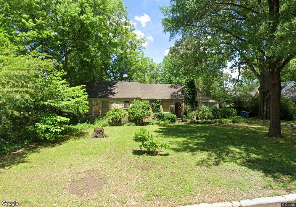
417 Roosevelt Ave West Memphis, AR 72301
Estimated Value: $163,000 - $277,000
--
Bed
2
Baths
2,133
Sq Ft
$105/Sq Ft
Est. Value
About This Home
This home is located at 417 Roosevelt Ave, West Memphis, AR 72301 and is currently estimated at $224,081, approximately $105 per square foot. 417 Roosevelt Ave is a home located in Crittenden County with nearby schools including Bragg Elementary School, West Junior High School, and The Academies of West Memphis Charter School.
Ownership History
Date
Name
Owned For
Owner Type
Purchase Details
Closed on
Jan 6, 2023
Sold by
Doris P Schmelzer Revocable Trust
Bought by
Wallin Robert and Portis Wesley
Current Estimated Value
Purchase Details
Closed on
Feb 28, 2006
Sold by
Not Provided
Bought by
Portis Wesley P and Portis Ernest B
Purchase Details
Closed on
Jan 1, 1986
Bought by
Manning Bill and Manning Virginia
Create a Home Valuation Report for This Property
The Home Valuation Report is an in-depth analysis detailing your home's value as well as a comparison with similar homes in the area
Home Values in the Area
Average Home Value in this Area
Purchase History
| Date | Buyer | Sale Price | Title Company |
|---|---|---|---|
| Wallin Robert | -- | None Listed On Document | |
| Portis Wesley P | $170,000 | -- | |
| Manning Bill | $62,000 | -- |
Source: Public Records
Tax History Compared to Growth
Tax History
| Year | Tax Paid | Tax Assessment Tax Assessment Total Assessment is a certain percentage of the fair market value that is determined by local assessors to be the total taxable value of land and additions on the property. | Land | Improvement |
|---|---|---|---|---|
| 2024 | $1,656 | $34,470 | $8,400 | $26,070 |
| 2023 | $1,231 | $34,470 | $8,400 | $26,070 |
| 2022 | $1,241 | $34,470 | $8,400 | $26,070 |
| 2021 | $1,171 | $34,470 | $8,400 | $26,070 |
| 2020 | $1,391 | $34,470 | $8,400 | $26,070 |
| 2019 | $1,106 | $29,250 | $6,000 | $23,250 |
| 2018 | $837 | $29,250 | $6,000 | $23,250 |
| 2017 | $837 | $29,250 | $6,000 | $23,250 |
| 2016 | $837 | $29,250 | $6,000 | $23,250 |
| 2015 | $849 | $29,250 | $6,000 | $23,250 |
| 2014 | $823 | $28,620 | $6,000 | $22,620 |
Source: Public Records
Map
Nearby Homes
- 413 Gibson Ave
- 501 W Cooper Ave
- 307 W Cooper Ave
- 607 W Barton Ave
- 235 W Barton Ave
- 503 W Oliver Ave
- 323 W Oliver Ave
- 221 W Barton Ave
- 232 Ross Ave
- 216 Roosevelt Ave
- 451 S Roselawn Dr
- 223 W Oliver Ave
- 321 S Worthington Dr
- 1009 Spears St
- 215 W Oliver Ave
- 112 Ross Ave
- 104 Ross Ave
- 123 W Danner Ave
- 807 W Barton Ave
- 303 N Rhodes St
- 415 Roosevelt Ave
- 423 Roosevelt Ave
- 414 Roosevelt Ave
- 414 W Barton Ave
- 416 W Barton Ave
- 412 Roosevelt Ave
- 420 Roosevelt Ave
- 422 W Barton Ave
- 503 Roosevelt Ave
- 600 N Avalon St
- 410 W Barton Ave
- 500 Roosevelt Ave
- 412 W Barton Ave
- 502 N Avalon St
- 612 Pearce St
- 505 Roosevelt Ave
- 417 W Cooper Ave
- 415 W Cooper Ave
- 421 W Cooper Ave
- 518 W Barton Ave