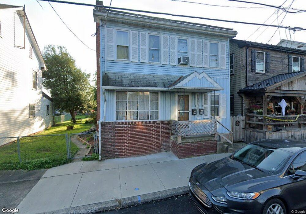
417 S Queen St Littlestown, PA 17340
Estimated Value: $246,000 - $273,000
4
Beds
1
Bath
1,972
Sq Ft
$129/Sq Ft
Est. Value
About This Home
This home is located at 417 S Queen St, Littlestown, PA 17340 and is currently estimated at $254,416, approximately $129 per square foot. 417 S Queen St is a home with nearby schools including Rolling Acres El School, Maple Avenue Middle School, and Littlestown Senior High School.
Ownership History
Date
Name
Owned For
Owner Type
Purchase Details
Closed on
Jan 31, 2022
Sold by
Stauffer Alice F
Bought by
Emlet Greg
Current Estimated Value
Home Financials for this Owner
Home Financials are based on the most recent Mortgage that was taken out on this home.
Original Mortgage
$88,369
Outstanding Balance
$81,723
Interest Rate
3.22%
Mortgage Type
FHA
Estimated Equity
$172,693
Purchase Details
Closed on
Sep 29, 1992
Bought by
Stauffer Alice F
Create a Home Valuation Report for This Property
The Home Valuation Report is an in-depth analysis detailing your home's value as well as a comparison with similar homes in the area
Home Values in the Area
Average Home Value in this Area
Purchase History
| Date | Buyer | Sale Price | Title Company |
|---|---|---|---|
| Emlet Greg | $90,000 | None Listed On Document | |
| Stauffer Alice F | -- | -- |
Source: Public Records
Mortgage History
| Date | Status | Borrower | Loan Amount |
|---|---|---|---|
| Open | Stauffer Alice F | $88,369 |
Source: Public Records
Tax History
| Year | Tax Paid | Tax Assessment Tax Assessment Total Assessment is a certain percentage of the fair market value that is determined by local assessors to be the total taxable value of land and additions on the property. | Land | Improvement |
|---|---|---|---|---|
| 2025 | $3,887 | $169,100 | $43,100 | $126,000 |
| 2024 | $3,350 | $151,200 | $43,100 | $108,100 |
| 2023 | $3,064 | $143,900 | $35,200 | $108,700 |
| 2022 | $3,156 | $149,100 | $40,400 | $108,700 |
| 2021 | $3,062 | $149,100 | $40,400 | $108,700 |
| 2020 | $3,026 | $149,100 | $40,400 | $108,700 |
| 2019 | $2,935 | $149,100 | $40,400 | $108,700 |
| 2018 | $2,882 | $149,100 | $40,400 | $108,700 |
| 2017 | $2,807 | $149,100 | $40,400 | $108,700 |
| 2016 | -- | $149,100 | $40,400 | $108,700 |
| 2015 | -- | $149,100 | $40,400 | $108,700 |
| 2014 | -- | $149,100 | $40,400 | $108,700 |
Source: Public Records
Map
Nearby Homes
- 484 S Columbus Ave Unit 19
- 230 M St
- 102 Cemetery St
- 17 Mason Dixon Dr Unit 84
- 161 Cemetery St
- 117 Charles St
- 115 Charles St
- 311 S Columbus Ave Unit 128
- 141 W King St
- 45 James Ave
- 102 N Queen St
- 11 Yorktowne Ct Unit 96
- 15 Yorktowne Ct Unit 97
- 535 Lumber St
- 559 Lumber St
- 567 Lumber St
- 36 W Summit Dr
- 41 Smith Cir
- 14 Revere Ct Unit 71
- 162 Newark St
Your Personal Tour Guide
Ask me questions while you tour the home.