Estimated Value: $331,000 - $480,000
3
Beds
2
Baths
3,302
Sq Ft
$122/Sq Ft
Est. Value
About This Home
This home is located at 417 Sapp Creek Rd, Cairo, GA 39827 and is currently estimated at $401,243, approximately $121 per square foot. 417 Sapp Creek Rd is a home located in Grady County.
Ownership History
Date
Name
Owned For
Owner Type
Purchase Details
Closed on
Nov 2, 2001
Sold by
Pine Level Baptist
Bought by
Allen Timothy J
Current Estimated Value
Purchase Details
Closed on
Dec 16, 1996
Sold by
Chastain Michael L
Bought by
Pine Level Baptist
Purchase Details
Closed on
Sep 13, 1996
Sold by
Delucia Philip J
Bought by
Chastain Michael L
Purchase Details
Closed on
Dec 9, 1994
Bought by
Delucia Philip J
Create a Home Valuation Report for This Property
The Home Valuation Report is an in-depth analysis detailing your home's value as well as a comparison with similar homes in the area
Home Values in the Area
Average Home Value in this Area
Purchase History
| Date | Buyer | Sale Price | Title Company |
|---|---|---|---|
| Allen Timothy J | $105,000 | -- | |
| Pine Level Baptist | $125,500 | -- | |
| Chastain Michael L | $107,000 | -- | |
| Delucia Philip J | $90,000 | -- |
Source: Public Records
Tax History Compared to Growth
Tax History
| Year | Tax Paid | Tax Assessment Tax Assessment Total Assessment is a certain percentage of the fair market value that is determined by local assessors to be the total taxable value of land and additions on the property. | Land | Improvement |
|---|---|---|---|---|
| 2024 | $3,833 | $124,585 | $6,043 | $118,542 |
| 2023 | $1,656 | $53,781 | $4,560 | $49,221 |
| 2022 | $1,656 | $53,781 | $4,560 | $49,221 |
| 2021 | $1,661 | $53,781 | $4,560 | $49,221 |
| 2020 | $1,667 | $53,781 | $4,560 | $49,221 |
| 2019 | $1,667 | $53,781 | $4,560 | $49,221 |
| 2018 | $1,564 | $53,781 | $4,560 | $49,221 |
| 2017 | $1,489 | $53,781 | $4,560 | $49,221 |
| 2016 | $1,280 | $45,943 | $4,560 | $41,383 |
| 2015 | $1,264 | $45,943 | $4,560 | $41,383 |
| 2014 | $1,266 | $45,943 | $4,560 | $41,383 |
| 2013 | -- | $44,865 | $4,680 | $40,185 |
Source: Public Records
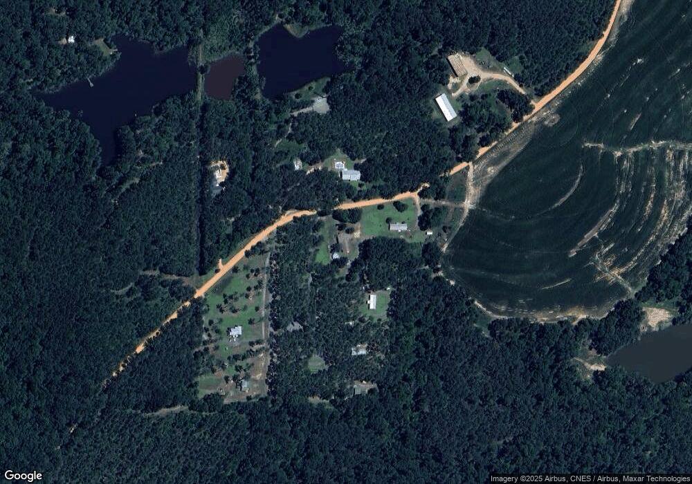
Map
Nearby Homes
- 53 +/- A Bond Rd
- 1741 Georgia 112
- 189 Sabino Dr
- 231 Mcintyre Ln
- 264 Woodridge Ln
- 158 Woodridge Ln
- 105 Woodridge Ln
- 1520 Upper Hawthorne Trail
- 1725 Tract 2 Hwy 84w
- 1725 Tract #1 Hwy 84w
- Lot 1 Crine Blvd
- 1500 15th Ave NW
- 1200 15th Ave NW
- 0 Upper Hawthorne Trail
- 1389 Lake Front Dr
- 1490 Magnolia Dr
- 1137 Summerfield
- 000 15th Ave Nw -- Tract 1
- 000 15th Ave Nw -- Tract 2
- 1296 McQuaig St NW
- 395 Sapp Creek Rd
- 410 Sapp Creek Rd
- 427 Sapp Creek Rd
- 489 Sapp Creek Rd
- 448 Sapp Creek Rd
- 256 Sapp Creek Rd
- 137 Sapp Creek Rd
- 139 Sapp Creek Rd
- 175 Sapp Creek Rd
- 196 Gainous Ln
- 167 Kendyl
- 1253 Ridge Rd Unit L3
- 1253 Ridge Rd
- 1253 Ridge Rd Unit LOT 4
- 175 Gainous Ln
- 132 Sapp Creek Rd
- 795 Ridge Rd
- 164 Kendyl Dr
- 1654 Ga Highway 112 N
- 1714 Ga Highway 112 N