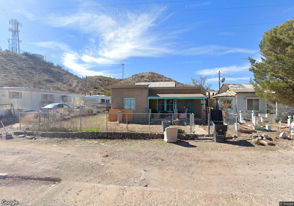
417 SE High St Duncan, AZ 85534
Estimated Value: $68,381 - $135,000
--
Bed
--
Bath
939
Sq Ft
$110/Sq Ft
Est. Value
About This Home
This home is located at 417 SE High St, Duncan, AZ 85534 and is currently estimated at $103,595, approximately $110 per square foot. 417 SE High St is a home located in Greenlee County with nearby schools including Duncan Elementary School and Duncan High School.
Ownership History
Date
Name
Owned For
Owner Type
Purchase Details
Closed on
Mar 12, 2013
Sold by
Breshears Michael and Breshears Deborah
Bought by
Perez Adam and Perez Sunny
Current Estimated Value
Home Financials for this Owner
Home Financials are based on the most recent Mortgage that was taken out on this home.
Original Mortgage
$26,000
Outstanding Balance
$18,348
Interest Rate
3.54%
Mortgage Type
Seller Take Back
Estimated Equity
$85,247
Purchase Details
Closed on
Jul 14, 2006
Sold by
Wilson Steven
Bought by
Breshears Michael and Breshears Deborah
Create a Home Valuation Report for This Property
The Home Valuation Report is an in-depth analysis detailing your home's value as well as a comparison with similar homes in the area
Home Values in the Area
Average Home Value in this Area
Purchase History
| Date | Buyer | Sale Price | Title Company |
|---|---|---|---|
| Perez Adam | $36,000 | Pioneer Title Agency Inc | |
| Breshears Michael | -- | None Available |
Source: Public Records
Mortgage History
| Date | Status | Borrower | Loan Amount |
|---|---|---|---|
| Open | Perez Adam | $26,000 |
Source: Public Records
Tax History Compared to Growth
Tax History
| Year | Tax Paid | Tax Assessment Tax Assessment Total Assessment is a certain percentage of the fair market value that is determined by local assessors to be the total taxable value of land and additions on the property. | Land | Improvement |
|---|---|---|---|---|
| 2026 | $245 | -- | -- | -- |
| 2025 | $245 | $3,716 | $116 | $3,600 |
| 2024 | $245 | $3,821 | $101 | $3,720 |
| 2023 | $245 | $3,357 | $89 | $3,268 |
| 2022 | $239 | $3,470 | $77 | $3,393 |
| 2021 | $295 | $0 | $0 | $0 |
| 2020 | $237 | $0 | $0 | $0 |
| 2019 | $251 | $0 | $0 | $0 |
| 2018 | $228 | $0 | $0 | $0 |
| 2017 | $226 | $0 | $0 | $0 |
| 2016 | $20,950 | $0 | $0 | $0 |
| 2015 | $20,670 | $0 | $0 | $0 |
Source: Public Records
Map
Nearby Homes
- 380254 Highway 70 E
- 202 Madison St
- TBD Skyline Dr
- 705 Center Ave
- 638 Daniels Ave
- 50 Fisher Ln
- 124 Cricket Way
- 0 Tbd Unit 1720854
- TBD Campbell St
- 254 Diane Ave
- TBD Campbell Mesquite St
- 581 Franklin Rd
- 58 Franklin Rd
- 825 Sweetwater Rd
- 160 Prickle Pear
- 481 Sheldon Loop
- 0 Off of Hwy 70
- 220 Kaywood Wash Rd
- 304 Calle Contento
- 1110 N Calle Del Sol
- 415 SE High St
- 421 SE High St
- 413 SE High St
- 423 SE High St
- 409 SE High St
- 230 Gale Ave
- 229 Old West Hwy
- 223 SE Old Hwy W
- 225 Gale Ave
- 405 SE High St
- 224 Gale Ave
- 0 3773550 Us Why 70 Unit 1719416
- 378200 U S 70
- 403 SE High St
- 404 SE High St
- 314 SE Old West Hwy
- 222 Gale Ave
- 217 SE Old Hwy W
- 109 East Ave
- 415 SE Old Hwy W