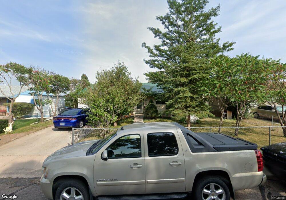
417 Stinson Ave Cheyenne, WY 82007
Estimated Value: $249,000 - $279,000
Studio
--
Bath
1,175
Sq Ft
$225/Sq Ft
Est. Value
About This Home
This home is located at 417 Stinson Ave, Cheyenne, WY 82007 and is currently estimated at $264,581, approximately $225 per square foot. 417 Stinson Ave is a home located in Laramie County with nearby schools including Cole Elementary School, Johnson Junior High School, and South High School.
Ownership History
Date
Name
Owned For
Owner Type
Purchase Details
Closed on
Aug 9, 2016
Sold by
Martinez Paul R and Martinez Jeannie E
Bought by
Martinez Paul R and Martinez Jeannie E
Current Estimated Value
Create a Home Valuation Report for This Property
The Home Valuation Report is an in-depth analysis detailing your home's value as well as a comparison with similar homes in the area
Purchase History
| Date | Buyer | Sale Price | Title Company |
|---|---|---|---|
| Martinez Paul R | -- | None Available |
Source: Public Records
Tax History
| Year | Tax Paid | Tax Assessment Tax Assessment Total Assessment is a certain percentage of the fair market value that is determined by local assessors to be the total taxable value of land and additions on the property. | Land | Improvement |
|---|---|---|---|---|
| 2025 | $1,462 | $12,566 | $1,710 | $10,856 |
| 2024 | $1,462 | $23,673 | $3,420 | $20,253 |
| 2023 | $1,415 | $23,007 | $3,420 | $19,587 |
| 2022 | $1,270 | $20,594 | $3,420 | $17,174 |
| 2021 | $1,065 | $17,727 | $3,420 | $14,307 |
| 2020 | $936 | $15,981 | $3,420 | $12,561 |
| 2019 | $926 | $15,830 | $3,420 | $12,410 |
| 2018 | $754 | $13,540 | $2,553 | $10,987 |
| 2017 | $678 | $12,398 | $2,553 | $9,845 |
| 2016 | $616 | $11,537 | $2,489 | $9,048 |
Source: Public Records
Map
Nearby Homes
- 216 Cribbon Ave
- TBD Snyder Ave
- 302 Abby Rd
- 722 W 7th St
- 509 Bent Ave
- 1409 W Jefferson Rd
- 618 W 9th St
- TBD Paul Smith Way
- 543 W 3rd St
- 1122 W Leisher Rd
- 523 W 3rd St
- 1109 S Arp Ave
- 508 W 2nd St
- TBD W 9th St
- Lots 1 & 2 W Lincolnway
- TBD Deming Dr
- TBD Wyott Dr
- 1019 Carey Ave
- 521 W 17th St
- 1114 W 20th St
- 423 Stinson Ave
- 411 Stinson Ave
- 407 Stinson Ave
- 429 Stinson Ave
- 416 Mccomb Ave
- 422 Mccomb Ave
- 401 Stinson Ave
- 406 Mccomb Ave
- 416 Stinson Ave
- 435 Stinson Ave
- 428 Mccomb Ave
- 410 Stinson Ave
- 422 Stinson Ave
- 406 Stinson Ave
- 400 Mccomb Ave
- 428 Stinson Ave
- 434 Mccomb Ave
- 400 Stinson Ave
- 434 Stinson Ave
- 440 Mccomb Ave