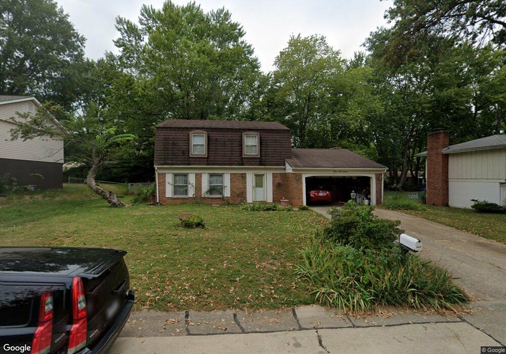
417 Stone River Rd Belleville, IL 62221
Estimated Value: $166,000 - $207,000
Studio
--
Bath
810
Sq Ft
$227/Sq Ft
Est. Value
About This Home
This home is located at 417 Stone River Rd, Belleville, IL 62221 and is currently estimated at $183,508, approximately $226 per square foot. 417 Stone River Rd is a home located in St. Clair County with nearby schools including Belle Valley Elementary School-North, Zion Lutheran School Belleville, and St Teresa Catholic School.
Ownership History
Date
Name
Owned For
Owner Type
Purchase Details
Closed on
Jul 24, 2002
Sold by
Marshall Allen M and Marshall Maria C
Bought by
Scott Tamara D
Current Estimated Value
Home Financials for this Owner
Home Financials are based on the most recent Mortgage that was taken out on this home.
Original Mortgage
$119,850
Outstanding Balance
$50,554
Interest Rate
6.64%
Mortgage Type
VA
Estimated Equity
$132,954
Create a Home Valuation Report for This Property
The Home Valuation Report is an in-depth analysis detailing your home's value as well as a comparison with similar homes in the area
Home Values in the Area
Average Home Value in this Area
Purchase History
| Date | Buyer | Sale Price | Title Company |
|---|---|---|---|
| Scott Tamara D | $117,500 | First American Title |
Source: Public Records
Mortgage History
| Date | Status | Borrower | Loan Amount |
|---|---|---|---|
| Open | Scott Tamara D | $119,850 |
Source: Public Records
Tax History
| Year | Tax Paid | Tax Assessment Tax Assessment Total Assessment is a certain percentage of the fair market value that is determined by local assessors to be the total taxable value of land and additions on the property. | Land | Improvement |
|---|---|---|---|---|
| 2024 | $3,889 | $52,014 | $6,583 | $45,431 |
| 2023 | $4,132 | $53,730 | $6,492 | $47,238 |
| 2022 | $3,886 | $48,935 | $5,913 | $43,022 |
| 2021 | $3,823 | $46,926 | $5,670 | $41,256 |
| 2020 | $3,728 | $43,701 | $5,280 | $38,421 |
| 2019 | $3,627 | $43,484 | $5,388 | $38,096 |
| 2018 | $3,490 | $42,373 | $5,250 | $37,123 |
| 2017 | $3,397 | $41,246 | $5,111 | $36,135 |
| 2016 | $3,393 | $39,824 | $4,935 | $34,889 |
| 2014 | $3,111 | $40,594 | $6,335 | $34,259 |
| 2013 | $3,750 | $40,594 | $6,335 | $34,259 |
Source: Public Records
Map
Nearby Homes
- 421 Stone River Rd
- 405 Todd Ln
- 3213 West Blvd
- 1419 Vicksburg Dr
- 1423 Vicksburg Dr
- 2077 Camrose Green St
- 3300 Berwin Green Dr
- 1301 Springfield Dr
- 2073 Camrose Green St
- 3304 Berwin Green Dr
- 2069 Camrose Green St
- 2065 Camrose Green St
- 2061 Camrose Green St
- 2057 Camrose Green St
- 2053 Camrose Green St
- 2049 Camrose Green St
- 1319 Springfield Dr
- 3313 Denvershire Dr
- 3306 Saratoga Dr Unit 3304/3306
- 2052 Camrose Green St
- 413 Stone River Rd
- 408 Harpers Ferry Rd
- 408 Harpers Ferry Dr
- 404 Harpers Ferry Dr
- 412 Harpers Ferry Dr
- 1036 Rutledge Dr
- 425 Stone River Rd
- 416 Stone River Rd
- 420 Stone River Rd
- 412 Stone River Rd
- 1029 Vicksburg Dr
- 400 Harpers Ferry Dr
- 400 Harpers Ferry Rd
- 424 Stone River Rd
- 408 Stone River Rd
- 409 Harpers Ferry Dr
- 324 Mossy Creek Dr
- 405 Harpers Ferry Dr
- 413 Harpers Ferry Dr
- 413 Harpers Ferry Rd
Your Personal Tour Guide
Ask me questions while you tour the home.