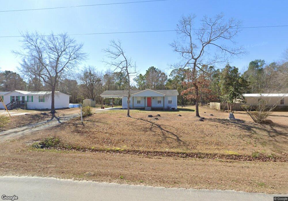
417 W Branch Dr Newport, NC 28570
Estimated Value: $161,000 - $226,479
2
Beds
1
Bath
1,000
Sq Ft
$186/Sq Ft
Est. Value
About This Home
This home is located at 417 W Branch Dr, Newport, NC 28570 and is currently estimated at $186,120, approximately $186 per square foot. 417 W Branch Dr is a home located in Carteret County with nearby schools including Newport Elementary School, Newport Middle School, and West Carteret High School.
Ownership History
Date
Name
Owned For
Owner Type
Purchase Details
Closed on
Aug 25, 2025
Sold by
Palacios Timothy Antonio
Bought by
Gooding Gary Lee
Current Estimated Value
Purchase Details
Closed on
Jul 27, 2022
Sold by
Albert Horton David and Albert Karen D
Bought by
Palacios Timothy Antonio
Home Financials for this Owner
Home Financials are based on the most recent Mortgage that was taken out on this home.
Original Mortgage
$136,666
Interest Rate
5.78%
Mortgage Type
New Conventional
Purchase Details
Closed on
Feb 6, 2020
Sold by
Lewis Michael W and Lewis Theresa
Bought by
Horton David Albert
Purchase Details
Closed on
Nov 27, 2018
Sold by
Lewis Gary J
Bought by
Lewis Michael W
Create a Home Valuation Report for This Property
The Home Valuation Report is an in-depth analysis detailing your home's value as well as a comparison with similar homes in the area
Home Values in the Area
Average Home Value in this Area
Purchase History
| Date | Buyer | Sale Price | Title Company |
|---|---|---|---|
| Gooding Gary Lee | $160,500 | None Listed On Document | |
| Palacios Timothy Antonio | $136,000 | James W Thompson Iii Pc | |
| Horton David Albert | $85,000 | None Available | |
| Lewis Michael W | -- | None Available |
Source: Public Records
Mortgage History
| Date | Status | Borrower | Loan Amount |
|---|---|---|---|
| Previous Owner | Palacios Timothy Antonio | $136,666 |
Source: Public Records
Tax History Compared to Growth
Tax History
| Year | Tax Paid | Tax Assessment Tax Assessment Total Assessment is a certain percentage of the fair market value that is determined by local assessors to be the total taxable value of land and additions on the property. | Land | Improvement |
|---|---|---|---|---|
| 2025 | $749 | $197,359 | $52,723 | $144,636 |
| 2024 | $661 | $117,260 | $28,500 | $88,760 |
| 2023 | $711 | $117,260 | $28,500 | $88,760 |
| 2022 | $700 | $117,260 | $28,500 | $88,760 |
| 2021 | $0 | $117,260 | $28,500 | $88,760 |
| 2020 | $684 | $117,260 | $28,500 | $88,760 |
| 2019 | $660 | $119,979 | $25,542 | $94,437 |
| 2017 | $636 | $119,979 | $25,542 | $94,437 |
| 2016 | $636 | $119,979 | $25,542 | $94,437 |
| 2015 | $624 | $119,979 | $25,542 | $94,437 |
| 2014 | $644 | $125,293 | $24,252 | $101,041 |
Source: Public Records
Map
Nearby Homes
- 414 W Branch Dr
- 126 Hatcher Dr
- 284 & 286 Mill Creek Rd
- 812 E Chatham St
- 639 E Chatham St
- 415 Hillcrest Dr
- 305 Mcqueen Ave
- 404 Hillcrest Dr
- 806 Lord Granville Dr
- 904 Lord Granville Dr
- 6650 Highway 70 W
- 357 Mccabe Rd
- 311 Lord Granville Dr
- 304 Lord Granville Dr
- 341 Mccabe Rd
- 5320 Highway 70 W
- 302 Lord Granville Dr
- 212 Lord Granville Dr
- 105 Fairway Dr W
- 215 Oak Dr
- 415 W Branch Dr
- 413 W Branch Dr
- 411 W Branch Dr
- 802 Garner Dr
- 422 W Branch Dr
- 426 W Branch Dr
- 424 W Branch Dr
- 705 Birdie Ct
- 404 W Branch Dr
- 108 Country Ct
- 702 Birdie Ct
- 809 Garner Dr
- 104 Country Ct
- 135 Hatcher Dr
- 815 Garner Dr
- 207 Hatcher Dr
- 812 Garner Dr
- 209 Hatcher Dr
- 127 Hatcher Dr
- 502 E Branch Dr