417 Whitmore Ave Unit L23 Mayfield, PA 18433
Estimated Value: $168,994 - $215,000
3
Beds
2
Baths
1,300
Sq Ft
$142/Sq Ft
Est. Value
About This Home
This home is located at 417 Whitmore Ave Unit L23, Mayfield, PA 18433 and is currently estimated at $184,499, approximately $141 per square foot. 417 Whitmore Ave Unit L23 is a home located in Lackawanna County with nearby schools including Lakeland Junior/Senior High School.
Ownership History
Date
Name
Owned For
Owner Type
Purchase Details
Closed on
Jul 23, 2010
Sold by
Matichak Shirley and Fife Mildred
Bought by
Cucura Debra and Sekelsky Carol
Current Estimated Value
Home Financials for this Owner
Home Financials are based on the most recent Mortgage that was taken out on this home.
Original Mortgage
$93,737
Outstanding Balance
$64,669
Interest Rate
5.5%
Mortgage Type
FHA
Estimated Equity
$119,830
Create a Home Valuation Report for This Property
The Home Valuation Report is an in-depth analysis detailing your home's value as well as a comparison with similar homes in the area
Home Values in the Area
Average Home Value in this Area
Purchase History
| Date | Buyer | Sale Price | Title Company |
|---|---|---|---|
| Cucura Debra | $95,000 | None Available |
Source: Public Records
Mortgage History
| Date | Status | Borrower | Loan Amount |
|---|---|---|---|
| Open | Cucura Debra | $93,737 |
Source: Public Records
Tax History Compared to Growth
Tax History
| Year | Tax Paid | Tax Assessment Tax Assessment Total Assessment is a certain percentage of the fair market value that is determined by local assessors to be the total taxable value of land and additions on the property. | Land | Improvement |
|---|---|---|---|---|
| 2025 | $1,870 | $7,000 | $0 | $7,000 |
| 2024 | $1,566 | $7,000 | $0 | $7,000 |
| 2023 | $1,566 | $7,000 | $0 | $7,000 |
| 2022 | $1,512 | $7,000 | $0 | $7,000 |
| 2021 | $1,512 | $7,000 | $0 | $7,000 |
| 2020 | $1,498 | $7,000 | $0 | $7,000 |
| 2019 | $1,414 | $7,000 | $0 | $7,000 |
| 2018 | $1,400 | $7,000 | $0 | $7,000 |
| 2017 | $1,386 | $7,000 | $0 | $7,000 |
| 2016 | $694 | $7,000 | $0 | $0 |
| 2015 | -- | $7,000 | $0 | $0 |
| 2014 | -- | $7,000 | $0 | $0 |
Source: Public Records
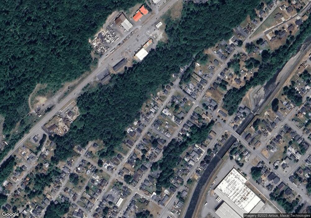
Map
Nearby Homes
- 0 Scranton Carbondale Hwy
- 0 Chestnut St
- 603 Lincoln Ave
- 0 Bacon St
- 440 Washington Ave
- 441 Madison Ave
- 118-120 Madison Ave
- 369 Upper Powderly St
- 15 Lower Powderly St
- 115 Gordon Ave
- 322 Shadow Wood Cir Unit U13
- 192 Shadow Wood Cir
- 333 Shadow Wood Cir
- 149 Upper Powderly St
- 128 Powderly Rd
- 233 Shadow Wood Cir
- 1317 Heart Lake Rd
- 880 Scranton - Carbondale
- 590 N Main St
- 815 Oak St
- 419 Whitmore Ave
- 405 Whitmore Ave
- 401 Whitmore Ave
- 427 Whitmore Ave
- 416 Whitmore Ave
- 404 Whitmore Ave
- 429 Whitmore Ave
- 400 Whitmore Ave
- 420 Whitmore Ave
- 410 Whitmore Ave
- 333 Whitmore Ave
- 306 Poplar St
- 419 Depew Ave
- 415 Depew Ave
- 329 Whitmore Ave
- 332 Whitmore Ave
- 401 Depew Ave
- 325 Whitmore Ave
- 310 Poplar St
- 501 Cemetery St