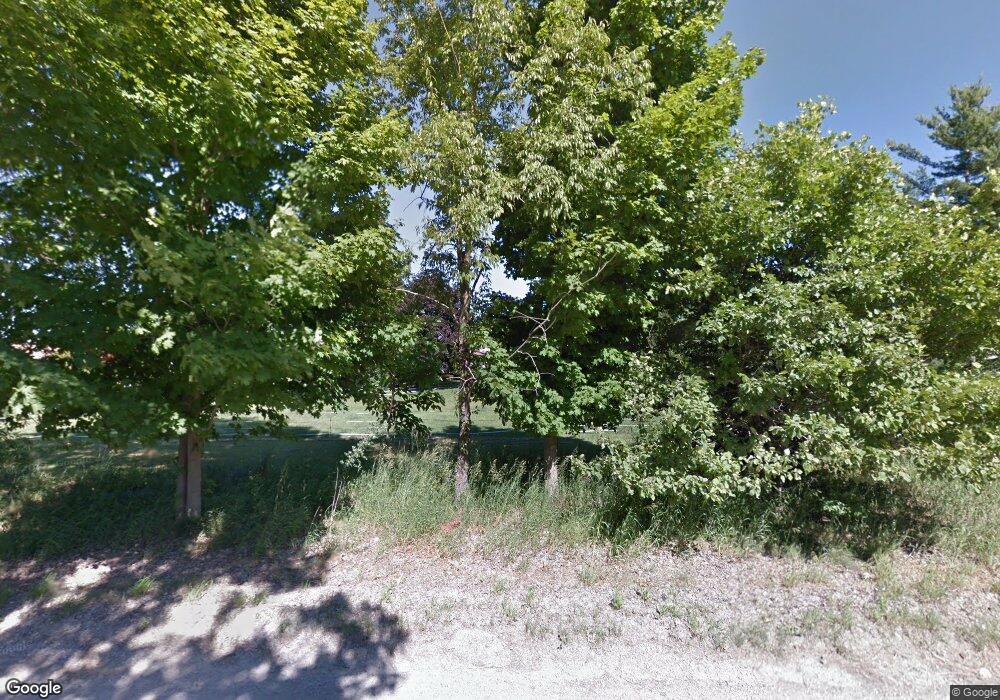
4170 Wylie Rd Dexter, MI 48130
Estimated Value: $458,000 - $602,000
3
Beds
2
Baths
2,190
Sq Ft
$234/Sq Ft
Est. Value
About This Home
This home is located at 4170 Wylie Rd, Dexter, MI 48130 and is currently estimated at $511,444, approximately $233 per square foot. 4170 Wylie Rd is a home located in Washtenaw County with nearby schools including Bates Elementary School, Creekside Intermediate School, and Anchor Elementary School.
Ownership History
Date
Name
Owned For
Owner Type
Purchase Details
Closed on
Sep 27, 2001
Sold by
Hammond Herbert J
Bought by
Thompson Carl N
Current Estimated Value
Purchase Details
Closed on
Aug 28, 1997
Sold by
Lewis David E
Bought by
Thompson Carl N and Page Jill
Home Financials for this Owner
Home Financials are based on the most recent Mortgage that was taken out on this home.
Original Mortgage
$169,900
Interest Rate
7.54%
Mortgage Type
New Conventional
Create a Home Valuation Report for This Property
The Home Valuation Report is an in-depth analysis detailing your home's value as well as a comparison with similar homes in the area
Home Values in the Area
Average Home Value in this Area
Purchase History
| Date | Buyer | Sale Price | Title Company |
|---|---|---|---|
| Thompson Carl N | -- | -- | |
| Thompson Carl N | $199,900 | -- |
Source: Public Records
Mortgage History
| Date | Status | Borrower | Loan Amount |
|---|---|---|---|
| Previous Owner | Thompson Carl N | $169,900 |
Source: Public Records
Tax History Compared to Growth
Tax History
| Year | Tax Paid | Tax Assessment Tax Assessment Total Assessment is a certain percentage of the fair market value that is determined by local assessors to be the total taxable value of land and additions on the property. | Land | Improvement |
|---|---|---|---|---|
| 2025 | $4,433 | $192,800 | $0 | $0 |
| 2024 | $1,320 | $177,400 | $0 | $0 |
| 2023 | $1,257 | $172,600 | $0 | $0 |
| 2022 | $4,328 | $151,800 | $0 | $0 |
| 2021 | $4,153 | $154,800 | $0 | $0 |
| 2020 | $4,100 | $150,100 | $0 | $0 |
| 2019 | $3,995 | $142,500 | $142,500 | $0 |
| 2018 | $3,940 | $138,100 | $20,600 | $117,500 |
| 2017 | $3,773 | $138,100 | $0 | $0 |
| 2016 | $1,081 | $101,694 | $0 | $0 |
| 2015 | -- | $101,390 | $0 | $0 |
| 2014 | -- | $98,223 | $0 | $0 |
| 2013 | -- | $98,223 | $0 | $0 |
Source: Public Records
Map
Nearby Homes
- 8218 Webster Dr
- 10146 Island Lake Rd
- 7783 Fischers Way
- 8180 Main St Unit 102
- 8180 Main St Unit 402
- 8180 Main St Unit 204
- 8180 Main St Unit 103
- 8180 Main St Unit 104
- 8180 Main St Unit 401
- 8180 Main St Unit 300
- 8180 Main St Unit 303
- 8180 Main St Unit 101
- 8180 Main St Unit 201
- 8180 Main St Unit 304
- 8180 Main St Unit 203
- 10265 Island Lake Rd
- 7498 Quail Ridge Dr
- 7955 Forest St
- 621 Woodland Dr
- 7919 Grand St
- 4212 Wylie Rd
- 4140 Wylie Rd
- 8901 Harris Rd
- 4185 Wylie Rd
- 9017 Sundance Trail Unit 1
- 8785 Harris Rd
- 4040 Wylie Rd
- 9030 Sundance Trail
- 9077 Sundance Trail Unit 2
- 4310 Wylie Rd
- 4292 Wylie Rd
- 8725 Harris Rd
- 9020 Island Lake Rd
- 9030 Sundance Ct
- 8747 Harris Rd
- 8914 Harris Rd
- 9040 Island Lake Rd
- 9036 Sundance Ct
- 4010 Wylie Rd
- 4360 Wylie Rd
