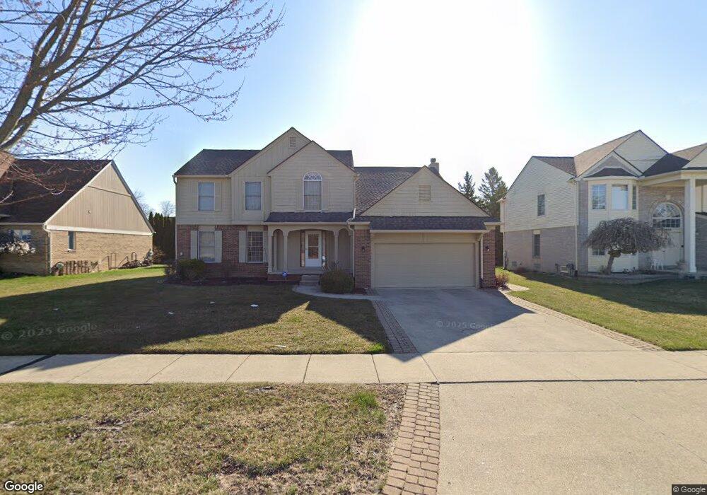
41700 Grindstone Dr Sterling Heights, MI 48314
Estimated Value: $495,416 - $552,000
4
Beds
3
Baths
2,727
Sq Ft
$195/Sq Ft
Est. Value
About This Home
This home is located at 41700 Grindstone Dr, Sterling Heights, MI 48314 and is currently estimated at $532,354, approximately $195 per square foot. 41700 Grindstone Dr is a home located in Macomb County with nearby schools including Schuchard Elementary School, Frank Jeannette Junior High School, and Adlai Stevenson High School.
Ownership History
Date
Name
Owned For
Owner Type
Purchase Details
Closed on
Oct 5, 2023
Sold by
Natarajan Thiruppathi and Natarajan Malliga
Bought by
Natarajan Thiruppathi and Natarajan Thiruppathi
Current Estimated Value
Purchase Details
Closed on
Nov 2, 2001
Sold by
Saylor Building Co
Bought by
Natarajan Thiruppathi
Home Financials for this Owner
Home Financials are based on the most recent Mortgage that was taken out on this home.
Original Mortgage
$233,000
Interest Rate
7.26%
Mortgage Type
Purchase Money Mortgage
Purchase Details
Closed on
Jan 18, 2000
Sold by
Elro Corporation
Bought by
Saylor Building Co
Create a Home Valuation Report for This Property
The Home Valuation Report is an in-depth analysis detailing your home's value as well as a comparison with similar homes in the area
Home Values in the Area
Average Home Value in this Area
Purchase History
| Date | Buyer | Sale Price | Title Company |
|---|---|---|---|
| Natarajan Thiruppathi | -- | None Listed On Document | |
| Natarajan Thiruppathi | -- | None Listed On Document | |
| Natarajan Thiruppathi | $278,750 | -- | |
| Saylor Building Co | $63,000 | -- |
Source: Public Records
Mortgage History
| Date | Status | Borrower | Loan Amount |
|---|---|---|---|
| Previous Owner | Natarajan Thiruppathi | $233,000 |
Source: Public Records
Tax History Compared to Growth
Tax History
| Year | Tax Paid | Tax Assessment Tax Assessment Total Assessment is a certain percentage of the fair market value that is determined by local assessors to be the total taxable value of land and additions on the property. | Land | Improvement |
|---|---|---|---|---|
| 2025 | $5,088 | $226,200 | $0 | $0 |
| 2024 | $4,652 | $207,800 | $0 | $0 |
| 2023 | $4,392 | $187,800 | $0 | $0 |
| 2022 | $4,579 | $167,600 | $0 | $0 |
| 2021 | $4,484 | $165,700 | $0 | $0 |
| 2020 | $3,999 | $164,100 | $0 | $0 |
| 2019 | $4,097 | $158,800 | $0 | $0 |
| 2018 | $4,143 | $147,600 | $0 | $0 |
| 2017 | $3,959 | $141,400 | $20,400 | $121,000 |
| 2016 | $3,825 | $141,400 | $0 | $0 |
| 2015 | -- | $131,900 | $0 | $0 |
| 2014 | -- | $108,800 | $0 | $0 |
Source: Public Records
Map
Nearby Homes
- 41599 Red Oak Dr
- 2336 Heritage Pointe Dr Unit 17
- 41395 Ambercrest Dr
- 41466 Dequindre Rd
- 41659 Touchstone Dr
- 2111 Beyer Ln
- 2503 Westmont Cir
- 5238 Windmill Dr
- 42192 Dequindre Rd
- 42739 Pond View Dr
- 2698 Willard Dr
- 3715 Knightbridge Cir
- 2741 Denise Dr
- 1917 Ravenhill Dr
- 3550 Kirkton Dr
- 5092 Julian Dr
- 3670 Warwick Dr
- 2684 Coral Dr
- 42040 Ryan Rd
- 5973 Stella
- 41716 Grindstone Dr
- 41684 Grindstone Dr
- 41731 Red Oak Dr
- 41715 Red Oak Dr
- 41747 Red Oak Dr
- 41668 Grindstone Dr
- 2216 Edgestone Dr
- 41732 Grindstone Dr
- 2197 Rolling Stone Dr
- 41583 Red Oak Dr
- 2231 Edgestone Dr
- 2230 Rolling Stone Dr
- 2200 Edgestone Dr
- 2181 Rolling Stone Dr
- 2214 Rolling Stone Dr
- 2501 Mill Pond Dr
- 2215 Edgestone Dr
- 41567 Red Oak Dr
- 2199 Edgestone Dr
- 2198 Rolling Stone Dr