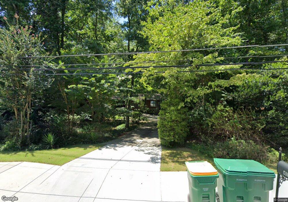
4171 Gunnin Rd Norcross, GA 30092
Estimated Value: $547,000 - $586,000
3
Beds
2
Baths
2,005
Sq Ft
$282/Sq Ft
Est. Value
About This Home
This home is located at 4171 Gunnin Rd, Norcross, GA 30092 and is currently estimated at $566,250, approximately $282 per square foot. 4171 Gunnin Rd is a home located in Gwinnett County with nearby schools including Simpson Elementary School, Pinckneyville Middle School, and Norcross High School.
Ownership History
Date
Name
Owned For
Owner Type
Purchase Details
Closed on
Jul 26, 2002
Sold by
Willis Daniel A
Bought by
Willis Daniel A
Current Estimated Value
Purchase Details
Closed on
Jul 20, 2001
Sold by
Nance Thomas M
Bought by
Willis Daniel A
Home Financials for this Owner
Home Financials are based on the most recent Mortgage that was taken out on this home.
Original Mortgage
$150,000
Interest Rate
7.09%
Mortgage Type
New Conventional
Create a Home Valuation Report for This Property
The Home Valuation Report is an in-depth analysis detailing your home's value as well as a comparison with similar homes in the area
Home Values in the Area
Average Home Value in this Area
Purchase History
| Date | Buyer | Sale Price | Title Company |
|---|---|---|---|
| Willis Daniel A | -- | -- | |
| Willis Daniel A | $230,000 | -- |
Source: Public Records
Mortgage History
| Date | Status | Borrower | Loan Amount |
|---|---|---|---|
| Previous Owner | Willis Daniel A | $150,000 |
Source: Public Records
Tax History Compared to Growth
Tax History
| Year | Tax Paid | Tax Assessment Tax Assessment Total Assessment is a certain percentage of the fair market value that is determined by local assessors to be the total taxable value of land and additions on the property. | Land | Improvement |
|---|---|---|---|---|
| 2025 | $5,160 | $199,280 | $38,360 | $160,920 |
| 2024 | $5,073 | $189,240 | $50,800 | $138,440 |
| 2023 | $5,073 | $167,040 | $44,400 | $122,640 |
| 2022 | $4,282 | $150,520 | $36,360 | $114,160 |
| 2021 | $3,830 | $124,760 | $35,800 | $88,960 |
| 2020 | $3,857 | $124,760 | $35,800 | $88,960 |
| 2019 | $3,589 | $116,480 | $30,480 | $86,000 |
| 2018 | $3,601 | $116,480 | $30,480 | $86,000 |
| 2016 | $3,221 | $100,440 | $24,360 | $76,080 |
| 2015 | $3,246 | $100,440 | $24,360 | $76,080 |
| 2014 | -- | $100,440 | $24,360 | $76,080 |
Source: Public Records
Map
Nearby Homes
- 5885 Match Point
- 4053 Spalding Hollow NW
- 5961 Ranger Ct
- 5970 Rachel Ridge Unit 2
- 6169 Poplar Bluff Cir
- 3962 Gunnin Rd
- 6040 Neely Farm Dr Unit 3
- 3922 Glen Meadow Dr
- 3910 Spalding Bluff Dr
- 5786 Broxton Cir
- 0 Hawk Run Unit 7571401
- 0 Hawk Run
- 4405 River Trail Dr
- 4410 River Trail Dr Unit 383
- 4102 Ailey Ct
- 4291 River Bottom Dr
- 4575 Dairy Way
- 5649 Whitesburg Ct
- 4151 Gunnin Rd
- 4181 Gunnin Rd
- 4121 Gunnin Rd
- 4170 Gunnin Rd
- 4180 Gunnin Rd
- 4160 Gunnin Rd
- 4192 Gunnin Rd
- 4110 Spalding Hollow NW
- 4150 Gunnin Rd
- 4111 Gunnin Rd
- 4110 Spalding Hollow
- 4231 Gunnin Rd
- 4200 Gunnin Rd
- 4178 Volley Ln
- 4144 Gunnin Rd Unit 1968
- 4144 Gunnin Rd
- 4188 Volley Ln
- 4130 Spalding Hollow
- 4241 Gunnin Rd Unit 1
- 5950 Wilbanks Dr