Studio
--
Bath
10,709
Sq Ft
23,958
Sq Ft Lot
About This Home
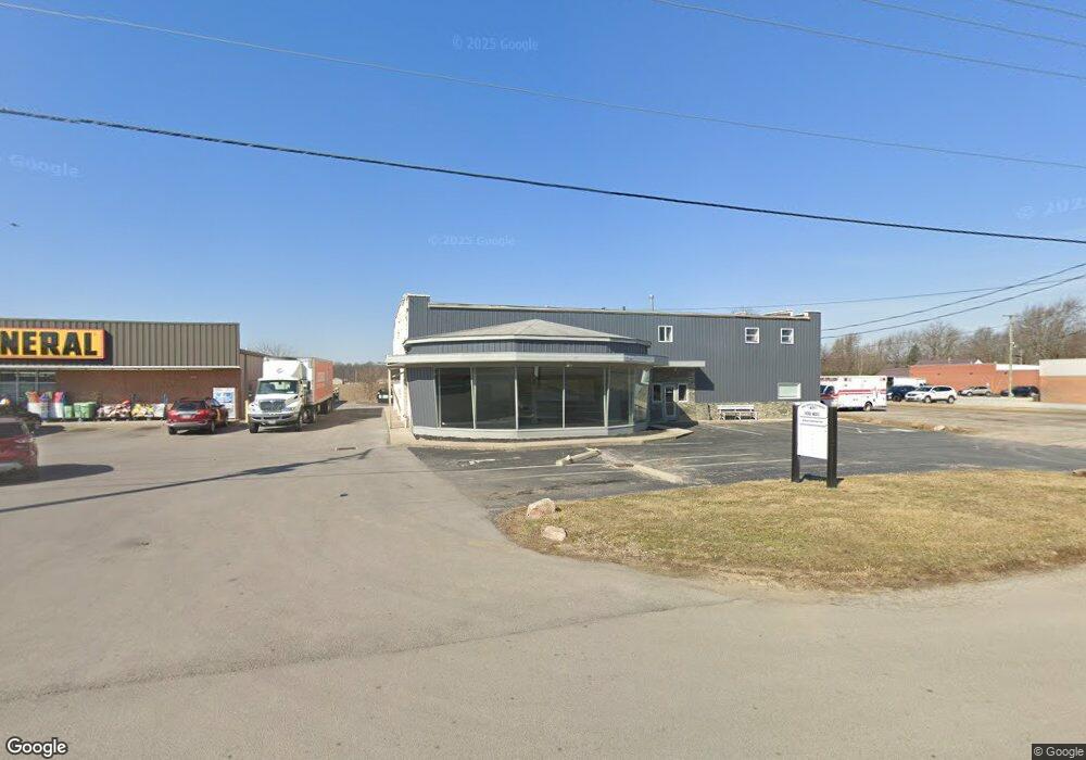
This home is located at 4171 State Route 235, Ada, OH 45810. 4171 State Route 235 is a home located in Hardin County with nearby schools including Ada Elementary School and Ada High School.
Ownership History
Date
Name
Owned For
Owner Type
Purchase Details
Closed on
Jan 3, 2017
Sold by
Gibson Kenneth and Renner Andrea
Bought by
Renner Trenton R and Renner Andrea L
Purchase Details
Closed on
Apr 7, 2015
Bought by
Liberty National Bank
Purchase Details
Closed on
Jul 1, 2013
Sold by
Stovers Enterprises Llc
Bought by
Liberty National Bank
Purchase Details
Closed on
Jun 9, 2005
Sold by
Amburgey Kenneth R
Bought by
The Citizens National Bank Of Bluffton
Purchase Details
Closed on
Apr 26, 1999
Bought by
Amburgey Kenneth R
Purchase Details
Closed on
Nov 20, 1998
Bought by
Amburgey Kenneth R
Purchase Details
Closed on
May 9, 1991
Purchase Details
Closed on
Mar 1, 1991
Create a Home Valuation Report for This Property
The Home Valuation Report is an in-depth analysis detailing your home's value as well as a comparison with similar homes in the area
Home Values in the Area
Average Home Value in this Area
Purchase History
| Date | Buyer | Sale Price | Title Company |
|---|---|---|---|
| Renner Trenton R | -- | None Available | |
| Liberty National Bank | -- | -- | |
| Liberty National Bank | -- | None Available | |
| The Citizens National Bank Of Bluffton | $134,000 | -- | |
| Amburgey Kenneth R | -- | -- | |
| Amburgey Kenneth R | $25,500 | -- | |
| -- | $65,000 | -- | |
| -- | $65,000 | -- |
Source: Public Records
Tax History
| Year | Tax Paid | Tax Assessment Tax Assessment Total Assessment is a certain percentage of the fair market value that is determined by local assessors to be the total taxable value of land and additions on the property. | Land | Improvement |
|---|---|---|---|---|
| 2024 | $2,519 | $47,700 | $6,740 | $40,960 |
| 2023 | $2,511 | $47,700 | $6,740 | $40,960 |
| 2022 | $2,408 | $43,020 | $5,780 | $37,240 |
| 2021 | $2,640 | $43,020 | $5,780 | $37,240 |
| 2020 | $2,670 | $43,020 | $5,780 | $37,240 |
| 2019 | $2,656 | $43,020 | $5,780 | $37,240 |
| 2018 | $2,618 | $43,020 | $5,780 | $37,240 |
| 2017 | $12,811 | $43,020 | $5,780 | $37,240 |
| 2016 | $2,561 | $43,280 | $5,780 | $37,500 |
| 2015 | $2,307 | $43,280 | $5,780 | $37,500 |
| 2014 | $2,545 | $43,280 | $5,780 | $37,500 |
| 2013 | $2,537 | $43,280 | $5,780 | $37,500 |
Source: Public Records
Map
Nearby Homes
- 820 S Main St
- 318 Willeke Ave
- 710 S Main St
- 314 E University Ave
- 308-310 S Simon St
- 2959 County Road 60
- 211 S Main St
- 210 N Gilbert St
- 602 Conley Ave
- 420 N Simon St
- 442 Edwards St
- 530 N Main St
- 327 W North Ave
- 128 W North Ave
- 503 E North Ave
- 629 N Main St
- 1689 County Road 50
- 724 N Main St
- 746 N Main St Unit 61
- 746 N Main St Unit 63
Your Personal Tour Guide
Ask me questions while you tour the home.