Estimated Value: $108,000 - $156,401
2
Beds
2
Baths
1,148
Sq Ft
$119/Sq Ft
Est. Value
About This Home
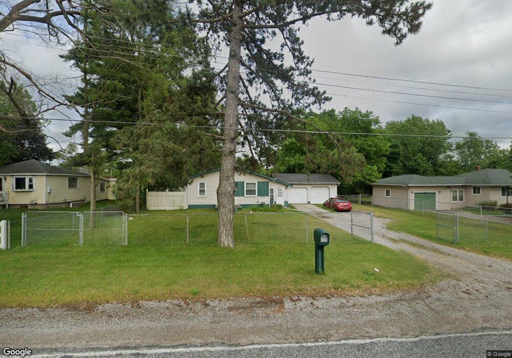
This home is located at 4172 Branch Rd, Flint, MI 48506 and is currently estimated at $136,600, approximately $118 per square foot. 4172 Branch Rd is a home located in Genesee County with nearby schools including Weston Elementary School, Kate Dowdall Elementary School, and Leota Fiedler Elementary School.
Ownership History
Date
Name
Owned For
Owner Type
Purchase Details
Closed on
Mar 24, 2011
Sold by
Klagstad Kristine
Bought by
Klagstad Kristine and Lemos Gregory
Current Estimated Value
Purchase Details
Closed on
Nov 19, 2008
Sold by
Alston Sears
Bought by
Wells Fargo Bank Na
Purchase Details
Closed on
Sep 5, 2002
Sold by
Holevar Carl Joseph
Bought by
Alston Sears
Create a Home Valuation Report for This Property
The Home Valuation Report is an in-depth analysis detailing your home's value as well as a comparison with similar homes in the area
Home Values in the Area
Average Home Value in this Area
Purchase History
| Date | Buyer | Sale Price | Title Company |
|---|---|---|---|
| Klagstad Kristine | -- | None Available | |
| Wells Fargo Bank Na | $72,000 | None Available | |
| Alston Sears | $87,000 | First American Title |
Source: Public Records
Tax History Compared to Growth
Tax History
| Year | Tax Paid | Tax Assessment Tax Assessment Total Assessment is a certain percentage of the fair market value that is determined by local assessors to be the total taxable value of land and additions on the property. | Land | Improvement |
|---|---|---|---|---|
| 2025 | $2,567 | $78,500 | $0 | $0 |
| 2024 | $381 | $71,700 | $0 | $0 |
| 2023 | $363 | $65,200 | $0 | $0 |
| 2022 | $1,511 | $58,700 | $0 | $0 |
| 2021 | $1,501 | $53,000 | $0 | $0 |
| 2020 | $332 | $47,800 | $0 | $0 |
| 2019 | $327 | $41,500 | $0 | $0 |
| 2018 | $1,574 | $37,700 | $0 | $0 |
| 2017 | $1,519 | $36,700 | $0 | $0 |
| 2016 | $1,532 | $34,800 | $0 | $0 |
| 2015 | $904 | $32,700 | $0 | $0 |
| 2014 | $302 | $29,600 | $0 | $0 |
| 2012 | -- | $25,200 | $25,200 | $0 |
Source: Public Records
Map
Nearby Homes
- 2910 Hampstead Dr
- 5501 Western Rd
- 5919 Western Rd
- 2802 Eaton Place
- 2710 Eaton Place
- 3299 E Pierson Rd
- 5220 Western Rd
- 2713 Alpha Way
- 4907 Delta Dr
- 3009 Plainfield Ave
- 2801 Epsilon Trail
- 4418 Branch Rd
- 3364 E Pierson Rd
- 4923 Alpha Way
- 3456 E Pierson Rd
- 3250 Carr St
- 4055 Mitchell Dr
- 3200 N Averill Ave
- 4141 Hidden View Dr
- 4127 Coggins Ave
- 4156 Branch Rd
- 4148 Branch Rd
- 5805 Branch Rd
- 5801 Branch Rd
- 5717 Branch Rd
- 5809 Branch Rd
- 5813 Branch Rd
- 5713 Branch Rd
- 4138 Branch Rd
- 5709 Branch Rd
- 5705 Branch Rd
- 5817 Branch Rd
- 5825 Branch Rd
- 5701 Branch Rd
- 3222 Branch Rd
- 5821 Branch Rd
- 4214 Branch Rd
- 5617 Branch Rd
- 3010 Hampstead Dr
- 5613 Branch Rd